



 Drop images here


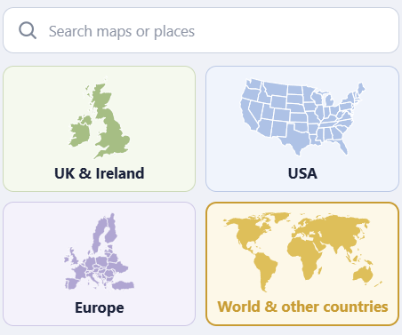
Start with more than 800 ready-made maps
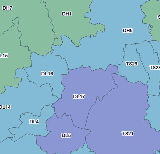
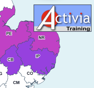
Choose from postcode and ZIP boundaries, counties, districts, municipalities, health geographies and many other administrative areas covering the UK and countries around the world.
- Open whole-country or smaller regional maps
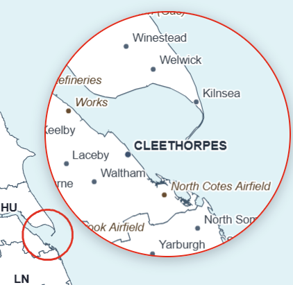
- Display polygon labels and settlement names
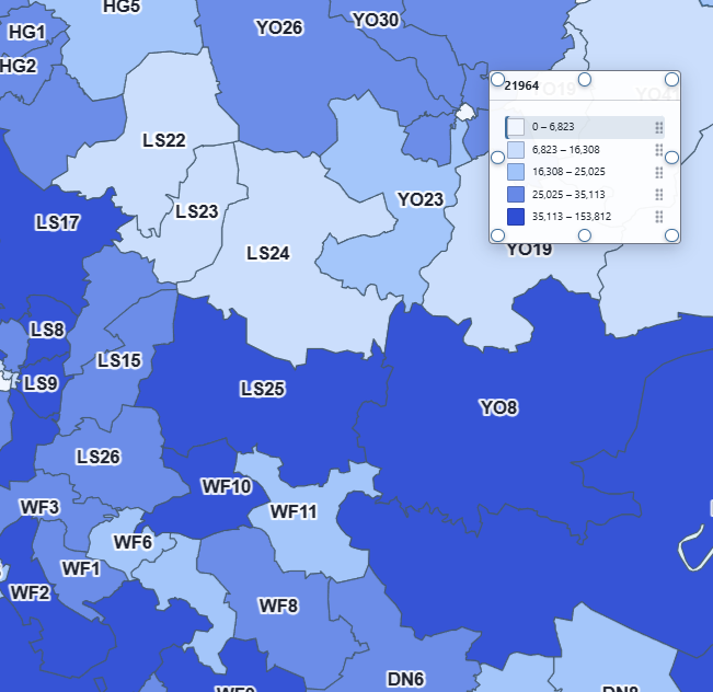
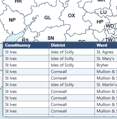
- Use the map’s data fields when importing your own information