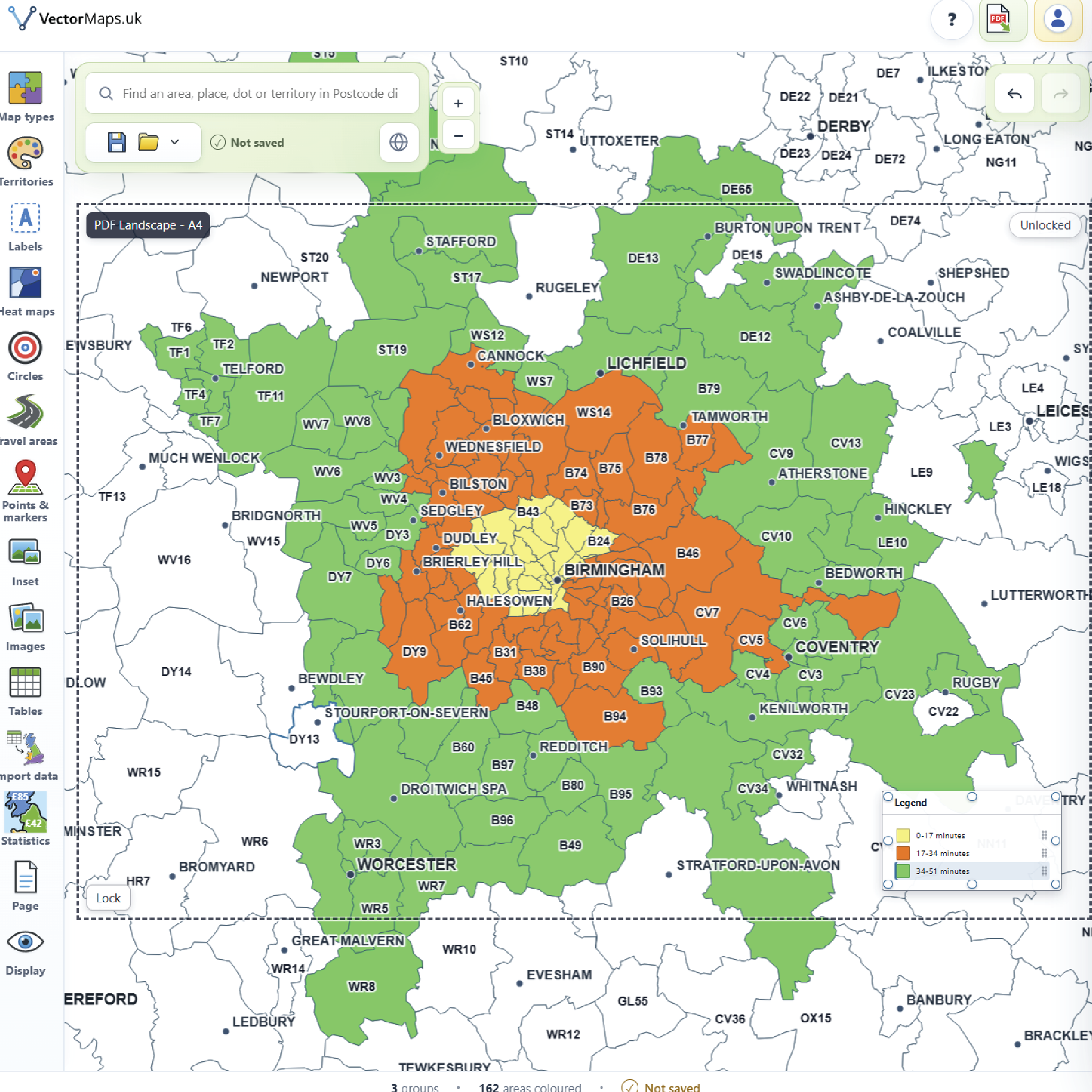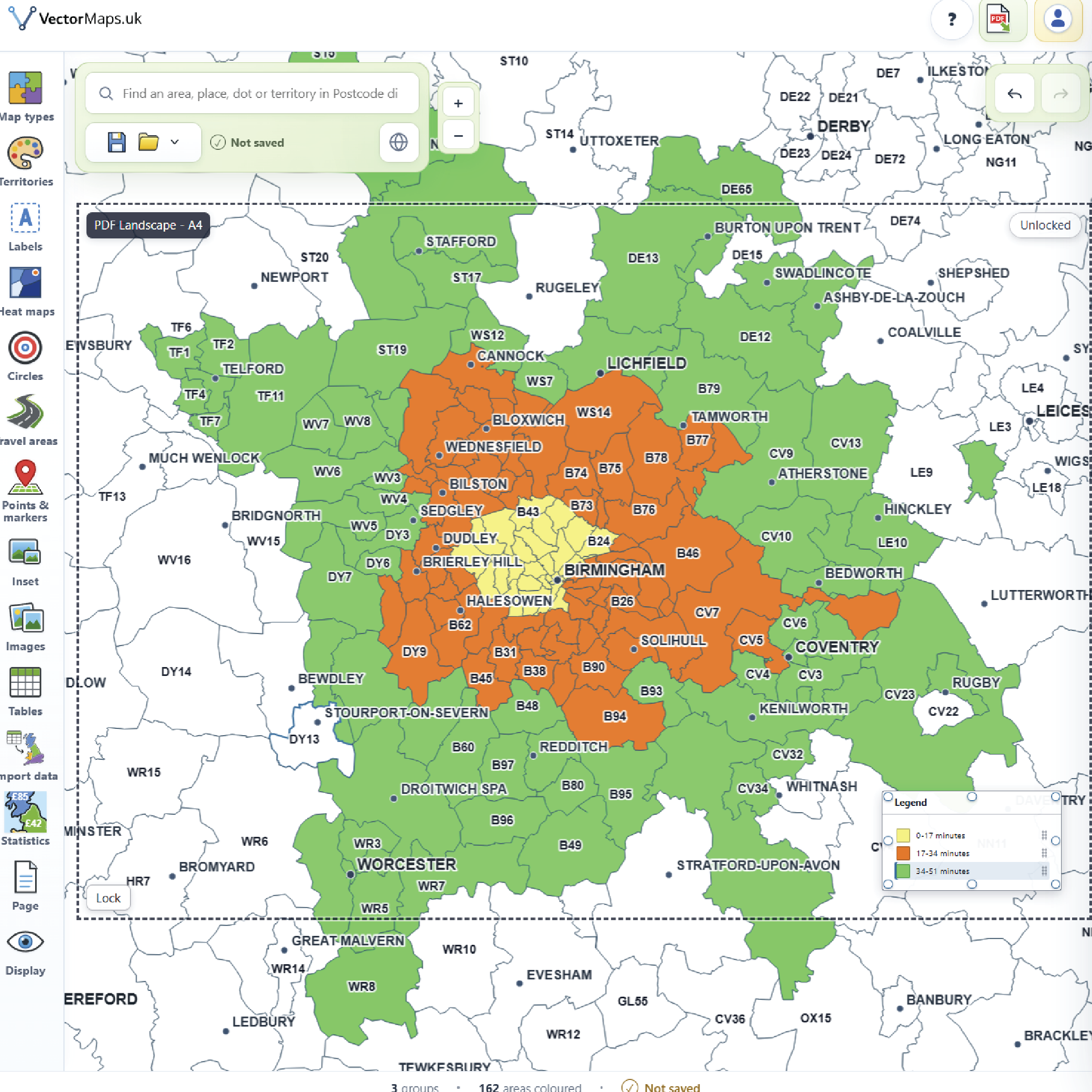
A better alternative to blurry map screenshots
Professional worldwide street maps made simple

Create crisp, professional street maps of any area worldwide

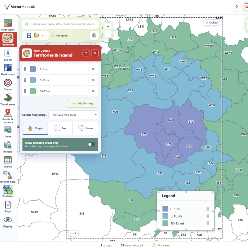
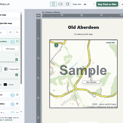
Stop relying on fuzzy screenshots that look poor in print, reports, flyers and presentations. Create a clean, detailed high-resolution vector map in minutes for any location in the world, or buy one of our ready-made UK street map samples as digital SVG, PDF and PNG files or as a printed map.

Sharp at any size Worldwide coverage Simple to create Editable options available
Map preview

Search the free map samples

Find ready-made sample maps by town, village, city, postcode area or Local Authority District. Each sample page links to purchasable digital map downloads, printed map options and the custom map builder for larger areas.

Exact place names open the final street map sample. Exact district names open the district gallery.

Why our maps beat using a normal screenshot from Google or Bing

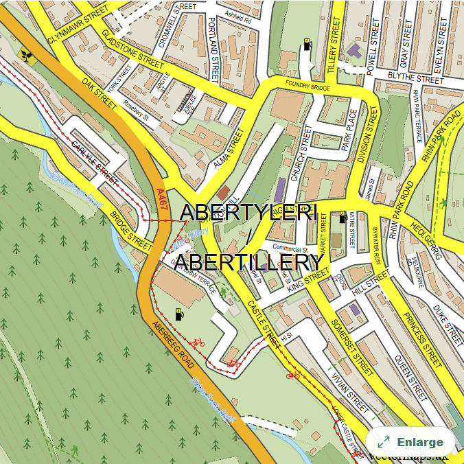
You can see below, one image taken from a popular online mapping platform and the exact same area created using our mapping tools. The clarity of the text, the crisp outlines of the buildings and roads display zero pixelation or jagged edges whereas on the map taken from a popular online mapping platform it's blurry, pixelated, unclear and not fit for your report or print or website etc.

Finished vector map example

Your finished SVG vector map

Our maps are SVG vector graphics, so roads, labels and building outlines stay sharp at any size. They can be edited in Adobe Illustrator, dropped into PowerPoint, used on websites and reports, and still look crisp and professional when printed.

  • Clean SVG artwork with crisp text, roads and buildings
  • Editable in Adobe Illustrator for colours, linework and labels
  • Works well in PowerPoint, reports, brochures and websites
  • Scalable output with SVG, PDF, PNG and print options available
  • Looks sharp and professional as a printed wall map or document insert
Create Your Map
Raster map screenshot example

Ordinary map screenshot

A screenshot from an online map is just a flat raster image. It may look acceptable on screen at one size, but the quality breaks down quickly when you enlarge it, print it or place it into a professional document.

  • Text and road labels become blurry when enlarged
  • Building edges and road outlines can turn jagged or pixelated
  • The fixed resolution limits print quality and large-format use
  • Colours, labels and linework are difficult to edit properly
  • Compression artifacts can make fine map detail look muddy
  • Often looks poor in reports, presentation slides and printed material
  • Not a good foundation for polished design work or customer-facing documents

Designed to feel easy, built to look excellent

This is not specialist GIS software. It is a straightforward tool that helps people create a polished map quickly and confidently.

Looks sharp at any size

Your map stays clean and professional whether it is used in a PDF, a printed brochure, a poster or a presentation slide.

Fast and simple to create

Select your area, choose your options and generate a map without complicated software or design expertise.

Editable options available

When you need more flexibility, editable and scalable map output is available for design and publishing work.

Ready for real-world use

Perfect for reports, flyers, planning documents, property details, websites, posters and marketing materials.

Popular street map sample pages

Start with a few well-known UK places. Each link opens a crawlable sample map page with a vector map preview and options for digital files, printed maps and larger custom areas.

Browse sample maps by district

These district listing pages group local sample maps together, making it easier for visitors and search engines to move from the homepage into the wider catalogue.

Still using map screenshots? There's a better way.

Online map screenshots may look acceptable on screen, but they often become blurry, pixelated and unprofessional when printed, enlarged or placed in a proper document.

Make your map look as professional as the rest of your work

Whether you are producing a report, brochure, planning document, poster, sales sheet, presentation or website, the map should look clean and intentional, not like a quick screenshot grabbed in a hurry.

  • Screenshots often look soft, fuzzy and disappointing when printed.
  • Text and roads can become unclear when the image is enlarged.
  • Poor-quality maps make the whole document feel less polished.
  • Our tool gives you a clear, high-resolution alternative that is simple to create.
Blurry screenshot example

Create a better map in minutes

If you are tired of fuzzy screenshots and want something that looks cleaner, sharper and more professional, this is the simple alternative. Choose any area worldwide, customise the look and generate a map built for proper use.

No blurry screenshots
Cleaner, more polished results from the start.
Made for print
Ideal for reports, brochures and posters.
Simple workflow
Choose area, set options, generate map.
Professional finish
A map that looks like it belongs there.

Contact VectorMaps.uk

Send a short message if you need help with samples, downloads, custom map output or API access.

We will use your email address only to reply to your enquiry.