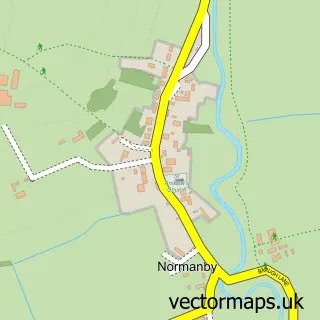
This Pickering street map is a detailed vector street map covering a 750m x 750m area. Select a larger area to create and download your own vector street map of Pickering.
The 750-metre map sample for Pickering covers 467 mapped buildings and approximately 17.5 km of road detail, of which 46 named roads are named. The immediate area includes 1 school, 1 railway station, 1 GP surgery and 6 pubs among other local services. The wider area around Pickering features 5 tourism points of interest, 22 food and drink venues and 15 hotels. To create a larger or custom map of Pickering, the map builder lets you define your own coverage area and download editable SVG, PDF and PNG files.
Create a larger editable map of Pickering
Choose any area you need and generate a high-quality vector map instantly. Perfect for print, planning, design, business and personal use.

This Pickering street map in North Yorkshire is available as downloadable SVG, PDF and PNG map files, or as a printed map for planning, business, display, education, local information and design work. You can also create a larger custom map area using the map selector.
What this Pickering map sample shows
Pickering lies within Pickering Cp parish, part of Pickering West ward in the North Yorkshire local authority area. The postcode geography for this area includes the YO postcode area, the YO18 postcode district and the YO18 8 postcode sector. Residents fall under the Nhs Humber And North Yorkshire Integrated Care Board for NHS services.
Local features near Pickering
Within 2 milesAmenities and services in and around Pickering.
Administrative and postcode information for Pickering
Pickering lies within Pickering Cp parish, part of Pickering West ward in the North Yorkshire local authority area. The postcode geography for this area includes the YO postcode area, the YO18 postcode district and the YO18 8 postcode sector. Residents fall under the Nhs Humber And North Yorkshire Integrated Care Board for NHS services.
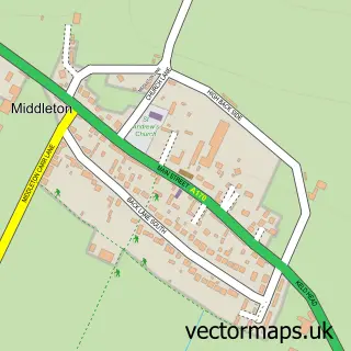
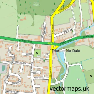
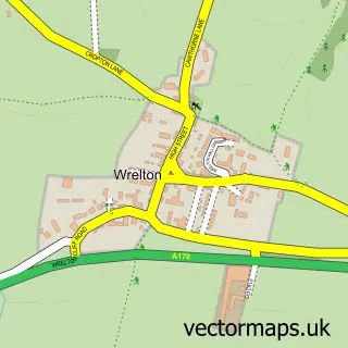
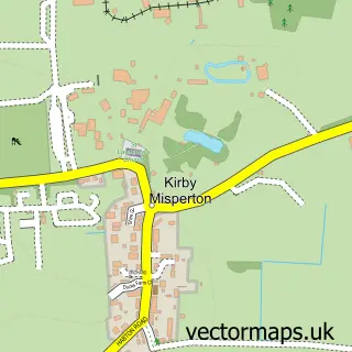
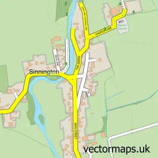
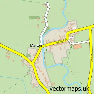
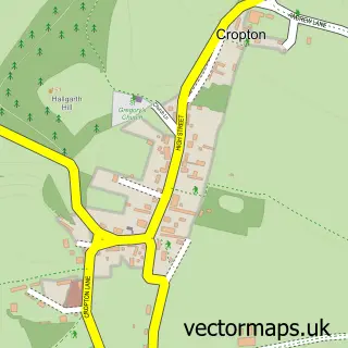
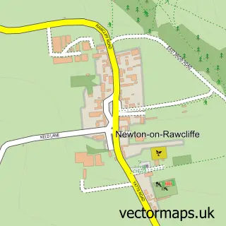
Nearby street map samples around Pickering

More street maps in North Yorkshire
750 metre map area coverage
Boundary, postcode and point of interest information for the 750m x 750m rectangle centred on this sample map.
Boundaries containing map centre
Constituency: Thirsk and Malton Co Const
District: North Yorkshire
Icb: NHS Humber and North Yorkshire ICB
Parish: Pickering CP
Police Force: north yorkshire
Postcode District: YO18
Postcode Sector: YO18 7
Nearby boundaries intersecting sample
Postcode Sector: YO18 8
Postcode coverage
POI category counts
Hotel: 15
Cafe: 9
Bed And Breakfast: 8
Beauty Salon: 7
Church Cathedral: 7
Hair Salon: 7
Pub: 6
Bakery: 5
Coffee Shop: 5
Flowers And Gifts Shop: 5
Sample points of interest
- Bransdale
- Hallgarth Accountants Limited
- J F Mcglinchey
- Crystal Cars
- Reflexions
- St Peter & St Paul
- Age UK
- J S C Collectables
- Shire Antiques
- Tia Greyhound Charity Shop
- Beck Isle Museum
- E & S Gott
Create a larger editable map of Pickering
This sample shows only a 750 metre area. To create a larger map of Pickering, use our map builder to choose your own coverage area, add titles and download editable SVG, PDF and PNG files.
Create a custom map of Pickering