This Thornton-le-Dale street map is a detailed vector street map covering a 750m x 750m area. Select a larger area to create and download your own vector street map of Thornton-le-Dale.
The 750-metre map sample for Thornton-le-Dale covers 292 mapped buildings and approximately 18.7 km of road detail, of which 22 named roads are named. The immediate area includes 1 school, 3 pubs and 2 MOT stations within 2 miles. The wider area around Thornton-le-Dale features 5 tourism points of interest, 5 food and drink venues and 3 hotels. To create a larger or custom map of Thornton-le-Dale, the map builder lets you define your own coverage area and download editable SVG, PDF and PNG files.
Create a larger editable map of Thornton-le-Dale
Choose any area you need and generate a high-quality vector map instantly. Perfect for print, planning, design, business and personal use.

This Thornton-le-Dale street map in North Yorkshire is available as downloadable SVG, PDF and PNG map files, or as a printed map for planning, business, display, education, local information and design work. You can also create a larger custom map area using the map selector.
What this Thornton-le-Dale map sample shows
Thornton-le-Dale lies within Thornton-Le-Dale Cp parish, part of Thornton Dale ward in the North Yorkshire local authority area. The postcode geography for this area includes the YO postcode area, the YO18 postcode district and the YO18 7 postcode sector. Residents fall under the Nhs Humber And North Yorkshire Integrated Care Board for NHS services.
Local features near Thornton-le-Dale
Within 2 milesAmenities and services in and around Thornton-le-Dale.
Administrative and postcode information for Thornton-le-Dale
Thornton-le-Dale lies within Thornton-Le-Dale Cp parish, part of Thornton Dale ward in the North Yorkshire local authority area. The postcode geography for this area includes the YO postcode area, the YO18 postcode district and the YO18 7 postcode sector. Residents fall under the Nhs Humber And North Yorkshire Integrated Care Board for NHS services.
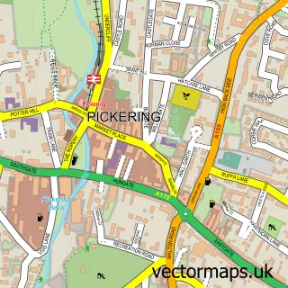
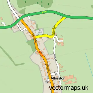
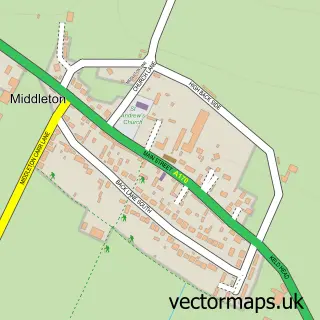
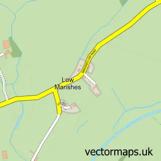
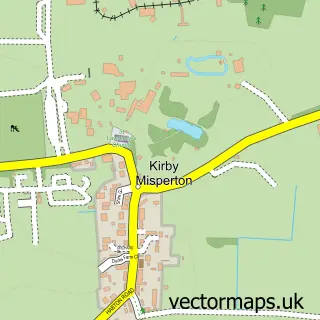
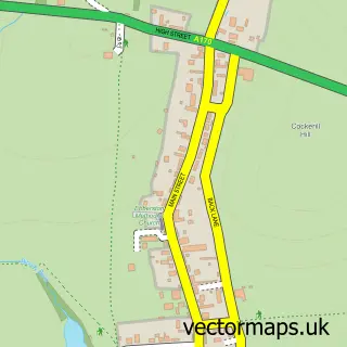
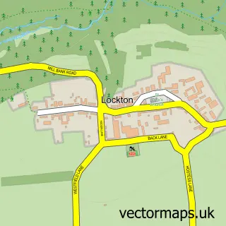
Nearby street map samples around Thornton-le-Dale

More street maps in North Yorkshire
750 metre map area coverage
Boundary, postcode and point of interest information for the 750m x 750m rectangle centred on this sample map.
Boundaries containing map centre
Constituency: Thirsk and Malton Co Const
District: North Yorkshire
Icb: NHS Humber and North Yorkshire ICB
Parish: Thornton-le-Dale CP
Police Force: north yorkshire
Postcode District: YO18
Postcode Sector: YO18 7
Nearby boundaries intersecting sample
No additional intersecting boundaries found.
Postcode coverage
POI category counts
Antique Store: 4
Bicycle Shop: 4
Bakery: 3
Hotel: 3
Pub: 3
Bed And Breakfast: 2
Campground: 2
Cremation Services: 2
Doctor: 2
Fish And Chips Restaurant: 2
Sample points of interest
- Litework
- Bohemian Breeze Antiques
- Gray's Emporium Thornton Le Dale
- Selbys' Antiques and Fine Art
- Thornton-Le-Dale Antique Centre
- Artisan Frames
- Mathewsons Auctions
- Baldersons Welcome Cafe & Bakery
- Swirls
- Welcome Cafe
- Bridgefoot Guest House
- The Old Chapel
Create a larger editable map of Thornton-le-Dale
This sample shows only a 750 metre area. To create a larger map of Thornton-le-Dale, use our map builder to choose your own coverage area, add titles and download editable SVG, PDF and PNG files.
Create a custom map of Thornton-le-Dale