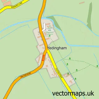
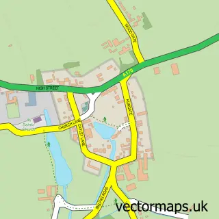
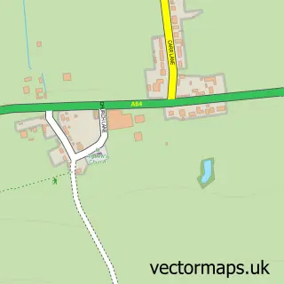
This Ebberston street map is a detailed vector street map covering a 750m x 750m area. Select a larger area to create and download your own vector street map of Ebberston.
The 750-metre map sample for Ebberston covers 150 mapped buildings and approximately 11.2 km of road detail, of which 6 named roads are named. The immediate area includes 1 pub and 2 MOT stations within 2 miles. The wider area around Ebberston features 1 tourism point of interest, 1 food and drink venue and 5 hotels. To create a larger or custom map of Ebberston, the map builder lets you define your own coverage area and download editable SVG, PDF and PNG files.
Create a larger editable map of Ebberston
Choose any area you need and generate a high-quality vector map instantly. Perfect for print, planning, design, business and personal use.

This Ebberston street map in North Yorkshire is available as downloadable SVG, PDF and PNG map files, or as a printed map for planning, business, display, education, local information and design work. You can also create a larger custom map area using the map selector.
What this Ebberston map sample shows
Ebberston lies within Ebberston And Yedingham Cp parish, part of Thornton Dale ward in the North Yorkshire local authority area. The postcode geography for this area includes the YO postcode area, the YO13 postcode district and the YO13 9 postcode sector. Residents fall under the Nhs Humber And North Yorkshire Integrated Care Board for NHS services.
Local features near Ebberston
Within 2 milesAmenities and services in and around Ebberston.
Administrative and postcode information for Ebberston
The local authority covering Ebberston is North Yorkshire, within the county of North Yorkshire. The settlement lies within Thornton Dale ward and Ebberston And Yedingham Cp civil parish. The YO13 postcode district and YO13 9 postcode sector serve the immediate area. NHS provision in the area is delivered through York And Scarborough Teaching Hospitals Nhs Foundation Trust.
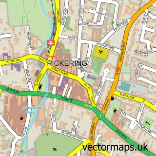
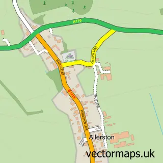
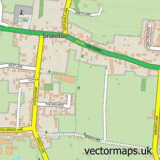
Nearby street map samples around Ebberston

More street maps in North Yorkshire
750 metre map area coverage
Boundary, postcode and point of interest information for the 750m x 750m rectangle centred on this sample map.
Boundaries containing map centre
Constituency: Thirsk and Malton Co Const
District: North Yorkshire
Icb: NHS Humber and North Yorkshire ICB
Parish: Ebberston and Yedingham CP
Police Force: north yorkshire
Postcode District: YO13
Postcode Sector: YO13 9
Nearby boundaries intersecting sample
No additional intersecting boundaries found.
Postcode coverage
POI category counts
Hotel: 4
Arts And Crafts: 1
Bakery: 1
Carpet Store: 1
Community Center: 1
Currency Exchange: 1
Electrician: 1
Landmark And Historical Building: 1
Pub: 1
Retail: 1
Sample points of interest
- Ebberston Studios
- Main Street Bakery
- JLA Joinery & Property Renovations
- Ebberston Village Hall
- Post Office Travel Money
- TJ Electrical Services
- Chestnut Holiday Cottage
- Cliff House Holiday Cottages
- High Park Farmhouse Holiday Cottage Accomodation
- Studley House Farm
- Ebberston
- The Grapes Inn
Create a larger editable map of Ebberston
This sample shows only a 750 metre area. To create a larger map of Ebberston, use our map builder to choose your own coverage area, add titles and download editable SVG, PDF and PNG files.
Create a custom map of Ebberston