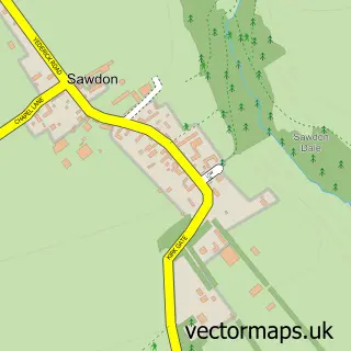
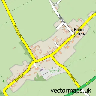
This Snainton street map is a detailed vector street map covering a 750m x 750m area. Select a larger area to create and download your own vector street map of Snainton.
The 750-metre map sample for Snainton covers 307 mapped buildings and approximately 14.5 km of road detail, of which 13 named roads are named. The immediate area includes 1 MOT station, with 2 within 2 miles. The wider area around Snainton features 1 food and drink venue, 1 hotel and 4 campsites within 2 miles. To create a larger or custom map of Snainton, the map builder lets you define your own coverage area and download editable SVG, PDF and PNG files.
Create a larger editable map of Snainton
Choose any area you need and generate a high-quality vector map instantly. Perfect for print, planning, design, business and personal use.

This Snainton street map in North Yorkshire is available as downloadable SVG, PDF and PNG map files, or as a printed map for planning, business, display, education, local information and design work. You can also create a larger custom map area using the map selector.
What this Snainton map sample shows
Snainton lies within Snainton Cp parish, part of Derwent Valley & Moor ward in the North Yorkshire local authority area. The postcode geography for this area includes the YO postcode area, the YO13 postcode district and the YO13 9 postcode sector. Residents fall under the Nhs Humber And North Yorkshire Integrated Care Board for NHS services.
Local features near Snainton
Within 2 milesAmenities and services in and around Snainton.
Administrative and postcode information for Snainton
The local authority covering Snainton is North Yorkshire, within the county of North Yorkshire. The settlement lies within Derwent Valley & Moor ward and Snainton Cp civil parish. The YO13 postcode district and YO13 9 postcode sector serve the immediate area. NHS provision in the area is delivered through York And Scarborough Teaching Hospitals Nhs Foundation Trust.
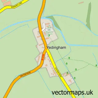
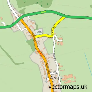
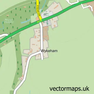
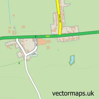
Nearby street map samples around Snainton

More street maps in North Yorkshire
750 metre map area coverage
Boundary, postcode and point of interest information for the 750m x 750m rectangle centred on this sample map.
Boundaries containing map centre
Constituency: Scarborough and Whitby Co Const
District: North Yorkshire
Icb: NHS Humber and North Yorkshire ICB
Parish: Snainton CP
Police Force: north yorkshire
Postcode District: YO13
Postcode Sector: YO13 9
Nearby boundaries intersecting sample
No additional intersecting boundaries found.
Postcode coverage
POI category counts
Butcher Shop: 2
Community Services Non Profits: 2
Fish And Chips Restaurant: 2
Pet Groomer: 2
Anglican Church: 1
Arts And Crafts: 1
Arts And Entertainment: 1
Automotive Services And Repair: 1
Beauty Salon: 1
Bicycle Shop: 1
Sample points of interest
- St Stephen
- Supreme Rocking Horses and Yorkshire Rocking Horse Restoration
- Scarborough, Yorkshire: England
- N B White
- Country Cuts Hair and Beauty Salon
- EDS Bikes
- Snainton Butchers
- Snainton Butchers
- ALS Chimneys
- Carers Plus Yorkshire
- Scarborough and Ryedale Mountain Rescue Team
- Best-one
Create a larger editable map of Snainton
This sample shows only a 750 metre area. To create a larger map of Snainton, use our map builder to choose your own coverage area, add titles and download editable SVG, PDF and PNG files.
Create a custom map of Snainton