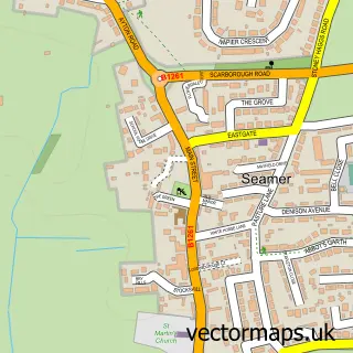
This Wykeham street map is a detailed vector street map covering a 750m x 750m area. Select a larger area to create and download your own vector street map of Wykeham.
The 750-metre map sample for Wykeham covers 58 mapped buildings and approximately 8.1 km of road detail, of which 1 named road are named. The immediate area includes 1 school and 1 GP surgery within 2 miles. The wider area around Wykeham features 2 tourism points of interest, 1 hotel and 2 campsites within 2 miles. To create a larger or custom map of Wykeham, the map builder lets you define your own coverage area and download editable SVG, PDF and PNG files.
Create a larger editable map of Wykeham
Choose any area you need and generate a high-quality vector map instantly. Perfect for print, planning, design, business and personal use.

This Wykeham street map in North Yorkshire is available as downloadable SVG, PDF and PNG map files, or as a printed map for planning, business, display, education, local information and design work. You can also create a larger custom map area using the map selector.
What this Wykeham map sample shows
Wykeham lies within Wykeham Cp parish, part of Derwent Valley & Moor ward in the North Yorkshire local authority area. The postcode geography for this area includes the YO postcode area, the YO13 postcode district and the YO13 9 postcode sector. Residents fall under the Nhs Humber And North Yorkshire Integrated Care Board for NHS services.
Local features near Wykeham
Within 2 milesAmenities and services in and around Wykeham.
Administrative and postcode information for Wykeham
Wykeham lies within Wykeham Cp parish, part of Derwent Valley & Moor ward in the North Yorkshire local authority area. The postcode geography for this area includes the YO postcode area, the YO13 postcode district and the YO13 9 postcode sector. Residents fall under the Nhs Humber And North Yorkshire Integrated Care Board for NHS services.
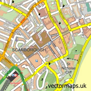
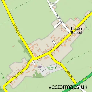
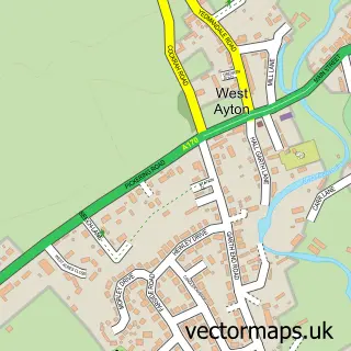
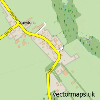
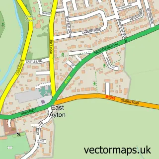
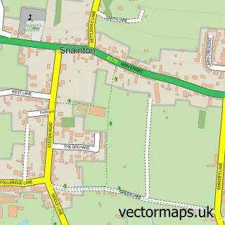
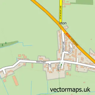
Nearby street map samples around Wykeham

More street maps in North Yorkshire
750 metre map area coverage
Boundary, postcode and point of interest information for the 750m x 750m rectangle centred on this sample map.
Boundaries containing map centre
Constituency: Scarborough and Whitby Co Const
District: North Yorkshire
Icb: NHS Humber and North Yorkshire ICB
Parish: Wykeham CP
Police Force: north yorkshire
Postcode District: YO13
Postcode Sector: YO13 9
Nearby boundaries intersecting sample
No additional intersecting boundaries found.
Postcode coverage
POI category counts
Elementary School: 3
Framing Store: 2
Furniture Store: 2
Key And Locksmith: 2
Advertising Agency: 1
Agricultural Service: 1
Anglican Church: 1
Beach: 1
Campground: 1
Day Care Preschool: 1
Sample points of interest
- H C Design
- Stafford’s Agri
- St Helen & All Saints Church, Wykeham
- Filey Beach
- St Helens In The Park
- The Wooden Horse Childrens Day Nursery
- Wykeham C of E Primary School
- Wykeham C of E Primary School
- Wykeham Church of England Voluntary Controlled Primary School
- The Picture Place
- The Picture Place
- Matt Lancaster DJ
Create a larger editable map of Wykeham
This sample shows only a 750 metre area. To create a larger map of Wykeham, use our map builder to choose your own coverage area, add titles and download editable SVG, PDF and PNG files.
Create a custom map of Wykeham