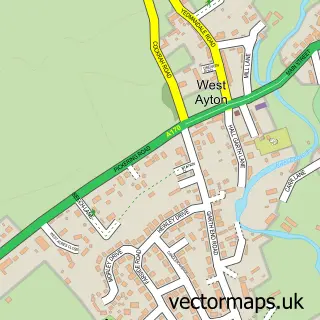
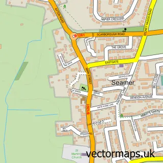
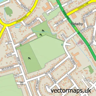
This East Ayton street map is a detailed vector street map covering a 750m x 750m area. Select a larger area to create and download your own vector street map of East Ayton.
The 750-metre map sample for East Ayton covers 358 mapped buildings and approximately 18.0 km of road detail, of which 20 named roads are named. The immediate area includes 1 school, 1 GP surgery within 2 miles and 1 pub. The wider area around East Ayton features 1 food and drink venue, 3 hotels and 4 campsites within 2 miles. To create a larger or custom map of East Ayton, the map builder lets you define your own coverage area and download editable SVG, PDF and PNG files.
Create a larger editable map of East Ayton
Choose any area you need and generate a high-quality vector map instantly. Perfect for print, planning, design, business and personal use.

This East Ayton street map in North Yorkshire is available as downloadable SVG, PDF and PNG map files, or as a printed map for planning, business, display, education, local information and design work. You can also create a larger custom map area using the map selector.
What this East Ayton map sample shows
East Ayton lies within East Ayton Cp parish, part of Derwent Valley & Moor ward in the North Yorkshire local authority area. The postcode geography for this area includes the YO postcode area, the YO13 postcode district and the YO13 9 postcode sector. Residents fall under the Nhs Humber And North Yorkshire Integrated Care Board for NHS services.
Local features near East Ayton
Within 2 milesAmenities and services in and around East Ayton.
Administrative and postcode information for East Ayton
East Ayton lies within East Ayton Cp parish, part of Derwent Valley & Moor ward in the North Yorkshire local authority area. The postcode geography for this area includes the YO postcode area, the YO13 postcode district and the YO13 9 postcode sector. Residents fall under the Nhs Humber And North Yorkshire Integrated Care Board for NHS services.
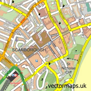
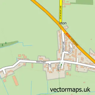
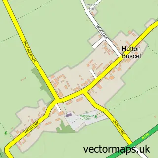
Nearby street map samples around East Ayton

More street maps in North Yorkshire
750 metre map area coverage
Boundary, postcode and point of interest information for the 750m x 750m rectangle centred on this sample map.
Boundaries containing map centre
Constituency: Scarborough and Whitby Co Const
District: North Yorkshire
Icb: NHS Humber and North Yorkshire ICB
Parish: East Ayton CP
Police Force: north yorkshire
Postcode District: YO13
Postcode Sector: YO13 9
Nearby boundaries intersecting sample
Parish: West Ayton CP
Postcode coverage
POI category counts
Hotel: 3
Carpet Store: 2
Contractor: 2
Convenience Store: 2
General Dentistry: 2
Shipping Center: 2
Anglican Church: 1
Brewery: 1
Driving School: 1
Education: 1
Sample points of interest
- St John the Baptist, East Ayton, Scarborough
- North Riding Brewery
- RF Forbes Floorings
- Scarborough Flooring and Interiors
- Richard Forbes Carpet and Contract Fitters
- S R Sellars Joinery
- Gem East Ayton
- SPAR
- K J A Driver Training
- KJA Driver Training
- Car Charge Company
- Gencon
Create a larger editable map of East Ayton
This sample shows only a 750 metre area. To create a larger map of East Ayton, use our map builder to choose your own coverage area, add titles and download editable SVG, PDF and PNG files.
Create a custom map of East Ayton