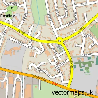
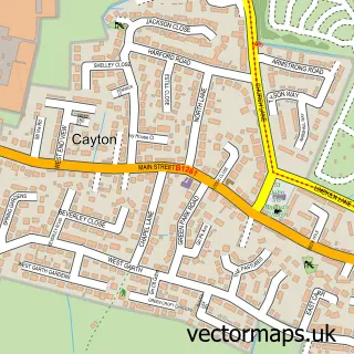
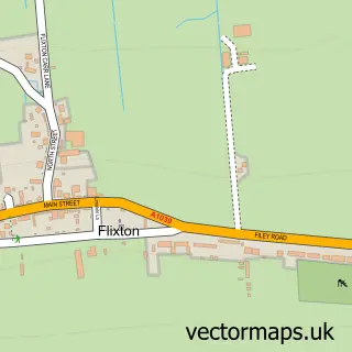
This Crossgates street map is a detailed vector street map covering a 750m x 750m area. Select a larger area to create and download your own vector street map of Crossgates.
The 750-metre map sample for Crossgates covers 529 mapped buildings and approximately 17.7 km of road detail, of which 34 named roads are named. The immediate area includes 1 railway station, 1 GP surgery within 2 miles, 2 pubs and 11 MOT stations within 2 miles. The wider area around Crossgates features 4 food and drink venues and 1 campsite within 2 miles. To create a larger or custom map of Crossgates, the map builder lets you define your own coverage area and download editable SVG, PDF and PNG files.
Create a larger editable map of Crossgates
Choose any area you need and generate a high-quality vector map instantly. Perfect for print, planning, design, business and personal use.

This Crossgates street map in North Yorkshire is available as downloadable SVG, PDF and PNG map files, or as a printed map for planning, business, display, education, local information and design work. You can also create a larger custom map area using the map selector.
What this Crossgates map sample shows
Crossgates lies within Eastfield Cp parish, part of Eastfield ward in the North Yorkshire local authority area. The postcode geography for this area includes the YO postcode area, the YO11 postcode district and the YO11 3 postcode sector. Residents fall under the Nhs Humber And North Yorkshire Integrated Care Board for NHS services.
Local features near Crossgates
Within 2 milesAmenities and services in and around Crossgates.
Administrative and postcode information for Crossgates
Crossgates lies within Eastfield Cp parish, part of Eastfield ward in the North Yorkshire local authority area. The postcode geography for this area includes the YO postcode area, the YO11 postcode district and the YO11 3 postcode sector. Residents fall under the Nhs Humber And North Yorkshire Integrated Care Board for NHS services.
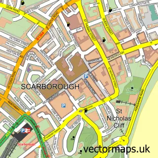
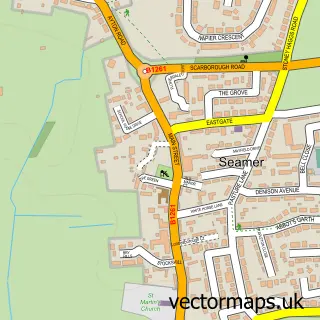
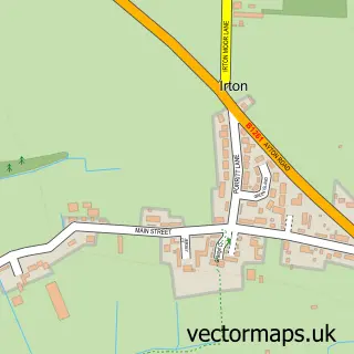
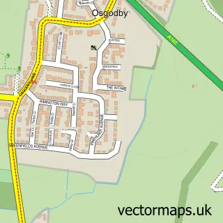
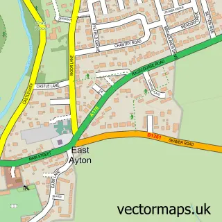
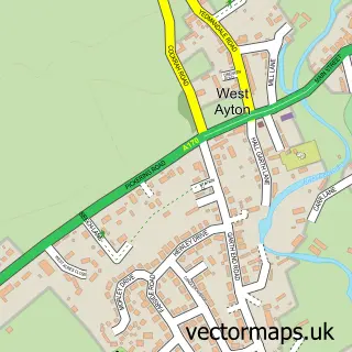
Nearby street map samples around Crossgates

More street maps in North Yorkshire
750 metre map area coverage
Boundary, postcode and point of interest information for the 750m x 750m rectangle centred on this sample map.
Boundaries containing map centre
Constituency: Scarborough and Whitby Co Const
District: North Yorkshire
Icb: NHS Humber and North Yorkshire ICB
Parish: Seamer CP
Police Force: north yorkshire
Postcode District: YO12
Postcode Sector: YO12 4
Nearby boundaries intersecting sample
Parish: Eastfield CP
Postcode District: YO11
Postcode Sector: YO11 3
Postcode coverage
POI category counts
Building Supply Store: 2
Convenience Store: 2
Courier And Delivery Services: 2
Package Locker: 2
Pet Groomer: 2
Pub: 2
Automotive Dealer: 1
Bar: 1
Beauty And Spa: 1
Beauty Salon: 1
Sample points of interest
- Hopes garage @ Crossgates car sales
- The Conservatory Bar
- Sharpening shack scarborough
- The Hair & Beauty Room
- Concept Development Yorkshire
- Eyre Scaffolding
- RDL Landscapes
- Crossgates Car Sales
- Adam Harvey Joinery Services
- Lung Fung
- Costa Express
- Crossgates Community Centre
Create a larger editable map of Crossgates
This sample shows only a 750 metre area. To create a larger map of Crossgates, use our map builder to choose your own coverage area, add titles and download editable SVG, PDF and PNG files.
Create a custom map of Crossgates