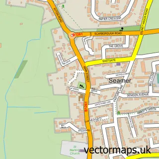
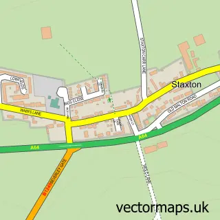
This Eastfield street map is a detailed vector street map covering a 750m x 750m area. Select a larger area to create and download your own vector street map of Eastfield.
The 750-metre map sample for Eastfield covers 304 mapped buildings and approximately 18.4 km of road detail, of which 25 named roads are named. The immediate area includes 1 primary school and 1 secondary school, 1 GP surgery and 9 MOT stations within 2 miles. The wider area around Eastfield features 1 tourism point of interest and 5 campsites within 2 miles. To create a larger or custom map of Eastfield, the map builder lets you define your own coverage area and download editable SVG, PDF and PNG files.
Create a larger editable map of Eastfield
Choose any area you need and generate a high-quality vector map instantly. Perfect for print, planning, design, business and personal use.

This Eastfield street map in North Yorkshire is available as downloadable SVG, PDF and PNG map files, or as a printed map for planning, business, display, education, local information and design work. You can also create a larger custom map area using the map selector.
What this Eastfield map sample shows
Eastfield lies within Eastfield Cp parish, part of Eastfield ward in the North Yorkshire local authority area. The postcode geography for this area includes the YO postcode area, the YO11 postcode district and the YO11 3 postcode sector. Residents fall under the Nhs Humber And North Yorkshire Integrated Care Board for NHS services.
Local features near Eastfield
Within 2 milesAmenities and services in and around Eastfield.
Administrative and postcode information for Eastfield
The local authority covering Eastfield is North Yorkshire, within the county of North Yorkshire. The settlement lies within Eastfield ward and Eastfield Cp civil parish. The YO11 postcode district and YO11 3 postcode sector serve the immediate area. NHS provision in the area is delivered through York And Scarborough Teaching Hospitals Nhs Foundation Trust.
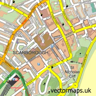
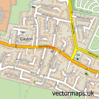
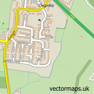
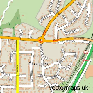
Nearby street map samples around Eastfield

More street maps in North Yorkshire
750 metre map area coverage
Boundary, postcode and point of interest information for the 750m x 750m rectangle centred on this sample map.
Boundaries containing map centre
Constituency: Scarborough and Whitby Co Const
District: North Yorkshire
Icb: NHS Humber and North Yorkshire ICB
Parish: Eastfield CP
Police Force: north yorkshire
Postcode District: YO11
Postcode Sector: YO11 3
Nearby boundaries intersecting sample
Parish: Cayton CP
Postcode coverage
POI category counts
Community Services Non Profits: 3
Elementary School: 3
Gym: 3
Pizza Restaurant: 3
Automotive Services And Repair: 2
Bakery: 2
Beauty Salon: 2
Community Center: 2
Convenience Store: 2
Education: 2
Sample points of interest
- Costa Del Eastfield
- Chiswell Associates
- Eastfield: Holy Nativity Church
- AS Architectural Services
- Little Hoppers Adventure World
- Braeburn House
- Enterprise Solutions
- Practical Network Solutions
- Cooplands
- Scarborough – Eastfield
- Sharp cuts
- Glam and Glow Sunbed Tanning Salon
Create a larger editable map of Eastfield
This sample shows only a 750 metre area. To create a larger map of Eastfield, use our map builder to choose your own coverage area, add titles and download editable SVG, PDF and PNG files.
Create a custom map of Eastfield