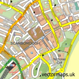
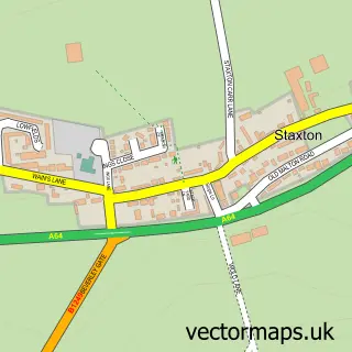
This Cayton street map is a detailed vector street map covering a 750m x 750m area. Select a larger area to create and download your own vector street map of Cayton.
The 750-metre map sample for Cayton covers 606 mapped buildings and approximately 15.0 km of road detail, of which 31 named roads are named. The immediate area includes 1 GP surgery within 2 miles, 2 pubs and 1 MOT station, with 6 within 2 miles. The wider area around Cayton features 1 tourism point of interest, 3 food and drink venues and 1 hotel. To create a larger or custom map of Cayton, the map builder lets you define your own coverage area and download editable SVG, PDF and PNG files.
Create a larger editable map of Cayton
Choose any area you need and generate a high-quality vector map instantly. Perfect for print, planning, design, business and personal use.

This Cayton street map in North Yorkshire is available as downloadable SVG, PDF and PNG map files, or as a printed map for planning, business, display, education, local information and design work. You can also create a larger custom map area using the map selector.
What this Cayton map sample shows
Cayton lies within Cayton Cp parish, part of Cayton ward in the North Yorkshire local authority area. The postcode geography for this area includes the YO postcode area, the YO11 postcode district and the YO11 3 postcode sector. Residents fall under the Nhs Humber And North Yorkshire Integrated Care Board for NHS services.
Local features near Cayton
Within 2 milesAmenities and services in and around Cayton.
Administrative and postcode information for Cayton
Cayton lies within Cayton Cp parish, part of Cayton ward in the North Yorkshire local authority area. The postcode geography for this area includes the YO postcode area, the YO11 postcode district and the YO11 3 postcode sector. Residents fall under the Nhs Humber And North Yorkshire Integrated Care Board for NHS services.
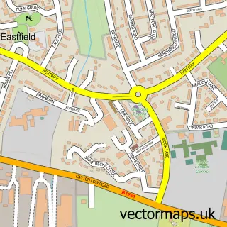
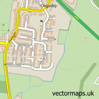
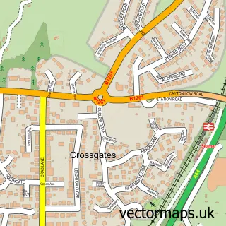
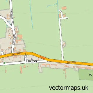
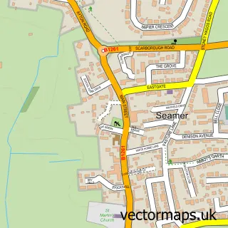
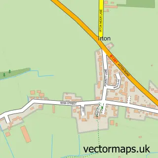
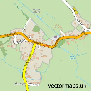
Nearby street map samples around Cayton

More street maps in North Yorkshire
750 metre map area coverage
Boundary, postcode and point of interest information for the 750m x 750m rectangle centred on this sample map.
Boundaries containing map centre
Constituency: Scarborough and Whitby Co Const
District: North Yorkshire
Icb: NHS Humber and North Yorkshire ICB
Parish: Cayton CP
Police Force: north yorkshire
Postcode District: YO11
Postcode Sector: YO11 3
Nearby boundaries intersecting sample
No additional intersecting boundaries found.
Postcode coverage
POI category counts
Convenience Store: 3
Dance School: 2
Driving School: 2
Home Developer: 2
Pub: 2
Shipping Center: 2
Anglican Church: 1
Automotive Services And Repair: 1
Bakery: 1
Bicycle Shop: 1
Sample points of interest
- St. John the Baptist Church, Cayton
- Ian Stanley
- Designer Icing
- Yorkshire Coast Mobile Cycle Repairs
- TW Tindall & Son
- Adam Beswick Joinery
- Cayton Village Hall
- Dave Towell Glazing
- KeyStore More
- Premier
- Premier Cayton Village Store
- Infotex UK Ltd – Yorkshire
Create a larger editable map of Cayton
This sample shows only a 750 metre area. To create a larger map of Cayton, use our map builder to choose your own coverage area, add titles and download editable SVG, PDF and PNG files.
Create a custom map of Cayton