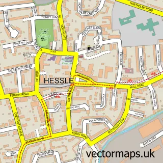
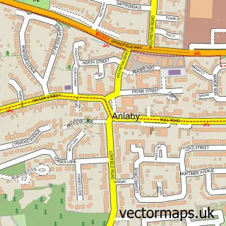
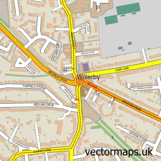
This Hull street map is a detailed vector street map covering a 750m x 750m area. Select a larger area to create and download your own vector street map of Hull.
The 750-metre map sample for Hull covers 96 mapped buildings and approximately 24.2 km of road detail, of which 74 named roads are named. The immediate area includes 3 GP surgeries, with 12 within 2 miles, 36 pubs and 83 MOT stations within 2 miles. The wider area around Hull features 17 tourism points of interest, 90 food and drink venues and 17 hotels. To create a larger or custom map of Hull, the map builder lets you define your own coverage area and download editable SVG, PDF and PNG files.
Create a larger editable map of Hull
Choose any area you need and generate a high-quality vector map instantly. Perfect for print, planning, design, business and personal use.

This Hull street map in East Riding of Yorkshire is available as downloadable SVG, PDF and PNG map files, or as a printed map for planning, business, display, education, local information and design work. You can also create a larger custom map area using the map selector.
What this Hull map sample shows
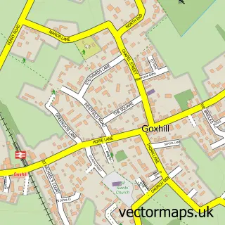
Hull lies within Goxhill Cp parish, part of Ferry ward in the North Lincolnshire (B) local authority area. The postcode geography for this area includes the DN postcode area, the DN19 postcode district and the DN19 7 postcode sector. Residents fall under the Nhs Humber And North Yorkshire Integrated Care Board for NHS services.
Local features near Hull
Within 2 milesAmenities and services in and around Hull.
Administrative and postcode information for Hull
Hull lies within Goxhill Cp parish, part of Ferry ward in the North Lincolnshire (B) local authority area. The postcode geography for this area includes the DN postcode area, the DN19 postcode district and the DN19 7 postcode sector. Residents fall under the Nhs Humber And North Yorkshire Integrated Care Board for NHS services.
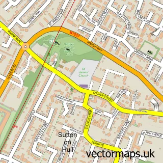
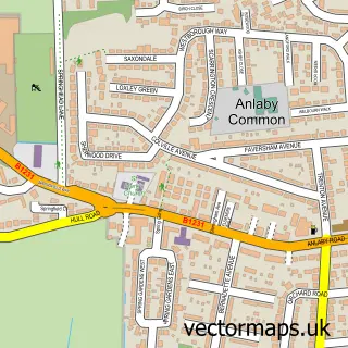
Nearby street map samples around Hull
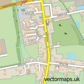
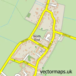
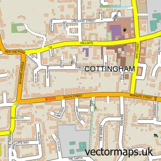
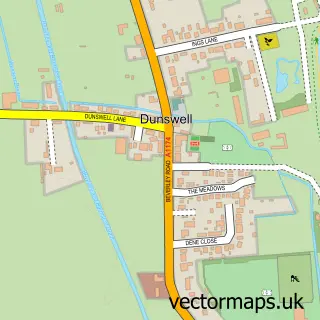
More street maps in East Riding of Yorkshire
750 metre map area coverage
Boundary, postcode and point of interest information for the 750m x 750m rectangle centred on this sample map.
Boundaries containing map centre
Constituency: Kingston upon Hull West and Haltemprice Boro Const
District: City of Kingston upon Hull (B)
Icb: NHS Humber and North Yorkshire ICB
Police Force: humberside
Postcode District: HU1
Postcode Sector: HU1 3
Ward: St. Andrew's & Docklands Ward
Nearby boundaries intersecting sample
Constituency: Kingston upon Hull North and Cottingham Boro Const
Postcode District: HU2
Postcode Sector: HU1 1, HU1 2, HU2 8
Ward: Central Ward
Postcode coverage
POI category counts
Bar: 41
Clothing Store: 38
Pub: 36
Jewelry Store: 28
Beauty Salon: 27
Employment Agencies: 26
Cafe: 25
Professional Services: 23
Mobile Phone Store: 22
Beauty And Spa: 19
Sample points of interest
- King Edward Street Express
- 360 Chartered Accountants
- Banks Cooper Associates
- Cooper Phillip & Co. Chartered Accountants
- Fawley Judge & Easton
- Fawley Judge & Easton
- JT Accountancy Services
- Phillip Cooper & Co. Chartered Accountants
- Sharp Addy & Train
- Streets Chartered Accountants
- Simply Pleasure
- 6A Creative
Create a larger editable map of Hull
This sample shows only a 750 metre area. To create a larger map of Hull, use our map builder to choose your own coverage area, add titles and download editable SVG, PDF and PNG files.
Create a custom map of Hull