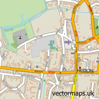
This Sutton street map is a detailed vector street map covering a 750m x 750m area. Select a larger area to create and download your own vector street map of Sutton.
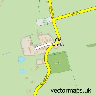
The 750-metre map sample for Sutton covers 663 mapped buildings and approximately 19.8 km of road detail, of which 57 named roads are named. The immediate area includes 9 GP surgeries within 2 miles, 2 pubs and 2 MOT stations, with 26 within 2 miles. The wider area around Sutton features 4 tourism points of interest, 3 food and drink venues and 1 hotel. To create a larger or custom map of Sutton, the map builder lets you define your own coverage area and download editable SVG, PDF and PNG files.
Create a larger editable map of Sutton
Choose any area you need and generate a high-quality vector map instantly. Perfect for print, planning, design, business and personal use.

This Sutton street map in East Riding of Yorkshire is available as downloadable SVG, PDF and PNG map files, or as a printed map for planning, business, display, education, local information and design work. You can also create a larger custom map area using the map selector.
What this Sutton map sample shows
Sutton lies within City Of Kingston Upon Hull (B) parish, part of Ings ward in the City Of Kingston Upon Hull (B) local authority area. The postcode geography for this area includes the HU postcode area, the HU8 postcode district and the HU8 9 postcode sector. Residents fall under the Nhs Humber And North Yorkshire Integrated Care Board for NHS services.
Local features near Sutton
Within 2 milesAmenities and services in and around Sutton.
Administrative and postcode information for Sutton
The local authority covering Sutton is City Of Kingston Upon Hull (B), within the county of East Riding Of Yorkshire. The settlement lies within Ings ward and City Of Kingston Upon Hull (B) civil parish. The HU8 postcode district and HU8 9 postcode sector serve the immediate area. NHS provision in the area is delivered through Hull University Teaching Hospitals Nhs Trust.
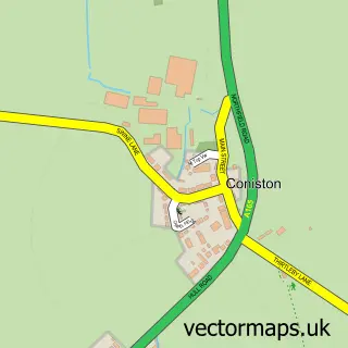
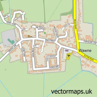
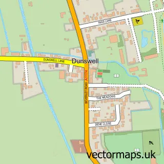
Nearby street map samples around Sutton

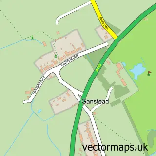
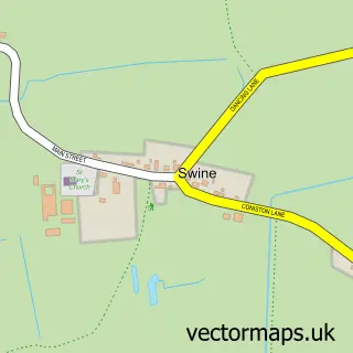
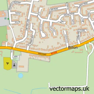
More street maps in East Riding of Yorkshire
750 metre map area coverage
Boundary, postcode and point of interest information for the 750m x 750m rectangle centred on this sample map.
Boundaries containing map centre
Constituency: Kingston upon Hull East Boro Const
District: City of Kingston upon Hull (B)
Icb: NHS Humber and North Yorkshire ICB
Police Force: humberside
Postcode District: HU7
Postcode Sector: HU7 4
Ward: Sutton Ward
Nearby boundaries intersecting sample
Postcode District: HU8
Postcode Sector: HU8 0, HU8 9
Ward: Ings Ward, North Carr Ward
Postcode coverage
POI category counts
Beauty Salon: 8
Beauty And Spa: 5
Convenience Store: 5
Hair Salon: 5
Gas Station: 4
Retirement Home: 4
Building Supply Store: 3
Property Management: 3
Real Estate Agent: 3
Automotive Repair: 2
Sample points of interest
- St James Church Sutton-on-Hull
- Leafy Lane Pottery classes
- Barchester - Castle Rise Care Home
- Sutton Service Station (Sewell Group)
- City Alarms & Security
- Lowgate Garage
- Unipart Car Care Centre
- India Rose Baby Boutique
- Judy's Barbers Shop
- Be Beautiful Skin Clinic
- Blossom Hair and Beauty Salon
- E J Clinic
Create a larger editable map of Sutton
This sample shows only a 750 metre area. To create a larger map of Sutton, use our map builder to choose your own coverage area, add titles and download editable SVG, PDF and PNG files.
Create a custom map of Sutton