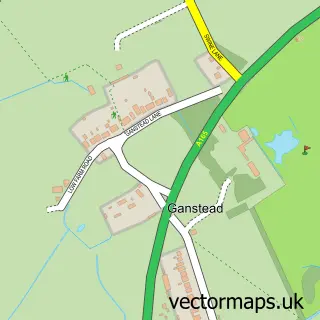
This Wawne street map is a detailed vector street map covering a 750m x 750m area. Select a larger area to create and download your own vector street map of Wawne.
The 750-metre map sample for Wawne covers 283 mapped buildings and approximately 12.4 km of road detail, of which 17 named roads are named. The immediate area includes 1 school, 2 GP surgeries within 2 miles, 1 pub and 2 MOT stations within 2 miles. The wider area around Wawne features 1 food and drink venue and 2 campsites within 2 miles. To create a larger or custom map of Wawne, the map builder lets you define your own coverage area and download editable SVG, PDF and PNG files.
Create a larger editable map of Wawne
Choose any area you need and generate a high-quality vector map instantly. Perfect for print, planning, design, business and personal use.

This Wawne street map in East Riding of Yorkshire is available as downloadable SVG, PDF and PNG map files, or as a printed map for planning, business, display, education, local information and design work. You can also create a larger custom map area using the map selector.
What this Wawne map sample shows
Wawne lies within Wawne Cp parish, part of Mid Holderness ward in the East Riding Of Yorkshire local authority area. The postcode geography for this area includes the HU postcode area, the HU7 postcode district and the HU7 5 postcode sector. Residents fall under the Nhs Humber And North Yorkshire Integrated Care Board for NHS services.
Local features near Wawne
Within 2 milesAmenities and services in and around Wawne.
Administrative and postcode information for Wawne
The local authority covering Wawne is East Riding Of Yorkshire, within the county of East Riding Of Yorkshire. The settlement lies within Mid Holderness ward and Wawne Cp civil parish. The HU7 postcode district and HU7 5 postcode sector serve the immediate area. NHS provision in the area is delivered through Hull University Teaching Hospitals Nhs Trust.
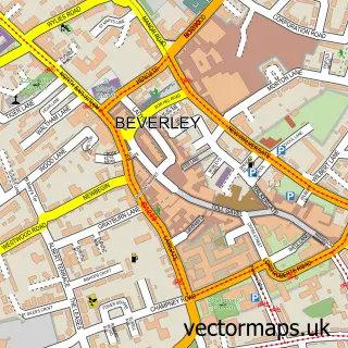
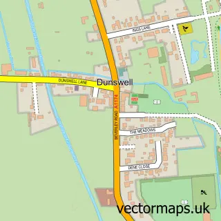
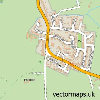
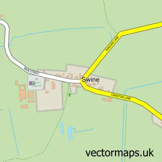
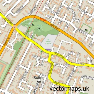
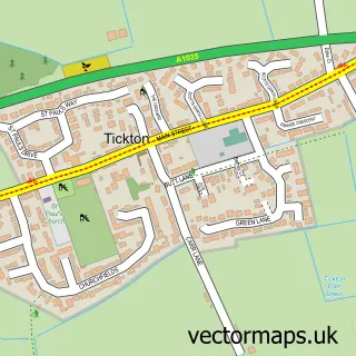
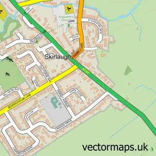
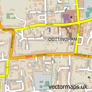
Nearby street map samples around Wawne

More street maps in East Riding of Yorkshire
750 metre map area coverage
Boundary, postcode and point of interest information for the 750m x 750m rectangle centred on this sample map.
Boundaries containing map centre
Constituency: Beverley and Holderness Co Const
District: East Riding of Yorkshire
Icb: NHS Humber and North Yorkshire ICB
Parish: Wawne CP
Police Force: humberside
Postcode District: HU7
Postcode Sector: HU7 5
Ward: Mid Holderness Ward
Nearby boundaries intersecting sample
No additional intersecting boundaries found.
Postcode coverage
POI category counts
Business Management Services: 2
Elementary School: 2
Pet Services: 2
Anglican Church: 1
Automotive: 1
Beauty And Spa: 1
Beauty Salon: 1
Building Supply Store: 1
Bus Rentals: 1
Church Cathedral: 1
Sample points of interest
- St Peter's, Wawne
- Mobile Vehicle Remapping
- Style Studio
- KOKO Hair & Beauty
- M & H Specialist Joinery
- Northern Spirit Coaches
- Post Office-Wawne
- Wawne Post Office
- Parish Church of St Peter
- Family Shopper
- Wawne Primary School
- Wawne Primary School
Create a larger editable map of Wawne
This sample shows only a 750 metre area. To create a larger map of Wawne, use our map builder to choose your own coverage area, add titles and download editable SVG, PDF and PNG files.
Create a custom map of Wawne