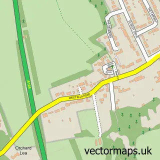
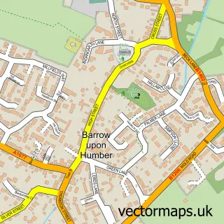
This Hessle street map is a detailed vector street map covering a 750m x 750m area. Select a larger area to create and download your own vector street map of Hessle.
The 750-metre map sample for Hessle covers 480 mapped buildings and approximately 18.6 km of road detail, of which 50 named roads are named. The immediate area includes 2 schools, 4 GP surgeries within 2 miles, 6 pubs and 1 MOT station, with 16 within 2 miles. The wider area around Hessle features 2 tourism points of interest, 14 food and drink venues and 1 hotel. To create a larger or custom map of Hessle, the map builder lets you define your own coverage area and download editable SVG, PDF and PNG files.
Create a larger editable map of Hessle
Choose any area you need and generate a high-quality vector map instantly. Perfect for print, planning, design, business and personal use.

This Hessle street map in East Riding of Yorkshire is available as downloadable SVG, PDF and PNG map files, or as a printed map for planning, business, display, education, local information and design work. You can also create a larger custom map area using the map selector.
What this Hessle map sample shows
Hessle lies within Hessle Cp parish, part of Hessle ward in the East Riding Of Yorkshire local authority area. The postcode geography for this area includes the HU postcode area, the HU13 postcode district and the HU13 0 postcode sector. Residents fall under the Nhs Humber And North Yorkshire Integrated Care Board for NHS services.
Local features near Hessle
Within 2 milesAmenities and services in and around Hessle.
Administrative and postcode information for Hessle
The local authority covering Hessle is East Riding Of Yorkshire, within the county of East Riding Of Yorkshire. The settlement lies within Hessle ward and Hessle Cp civil parish. The HU13 postcode district and HU13 0 postcode sector serve the immediate area. NHS provision in the area is delivered through Hull University Teaching Hospitals Nhs Trust.
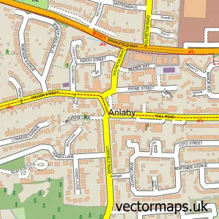
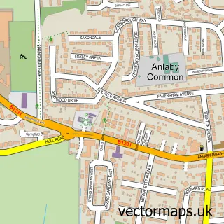
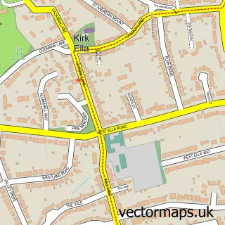
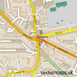
Nearby street map samples around Hessle

More street maps in East Riding of Yorkshire
750 metre map area coverage
Boundary, postcode and point of interest information for the 750m x 750m rectangle centred on this sample map.
Boundaries containing map centre
Constituency: Kingston upon Hull West and Haltemprice Boro Const
District: East Riding of Yorkshire
Icb: NHS Humber and North Yorkshire ICB
Parish: Hessle CP
Police Force: humberside
Postcode District: HU13
Postcode Sector: HU13 0
Ward: Hessle Ward
Nearby boundaries intersecting sample
Postcode Sector: HU13 9
Postcode coverage
POI category counts
Beauty Salon: 21
Hair Salon: 15
Banks: 9
Flowers And Gifts Shop: 9
Fast Food Restaurant: 7
Pub: 6
Tattoo And Piercing: 6
Barber: 5
Clothing Store: 5
Convenience Store: 5
Sample points of interest
- Hessle Prestongate Properties Limited
- EIjazah Institute
- Image-On Artworks
- Dove House Hospice Shop
- Mind Charity Shop
- Ettridge Architecture
- East Riding of Yorkshire Band
- Sumo Pan Asian
- Olde Coach House
- Staff Call UK
- ATM (Post Office)
- S K Convenience
Create a larger editable map of Hessle
This sample shows only a 750 metre area. To create a larger map of Hessle, use our map builder to choose your own coverage area, add titles and download editable SVG, PDF and PNG files.
Create a custom map of Hessle