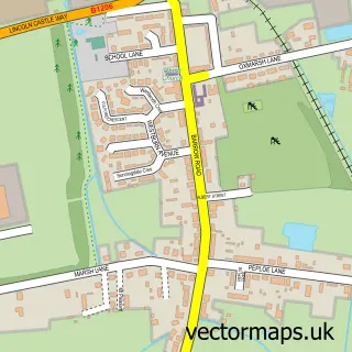
This Anlaby Common street map is a detailed vector street map covering a 750m x 750m area. Select a larger area to create and download your own vector street map of Anlaby Common.
The 750-metre map sample for Anlaby Common covers 663 mapped buildings and approximately 16.7 km of road detail, of which 41 named roads are named. The immediate area includes 1 school, 7 GP surgeries within 2 miles, 1 pub and 2 MOT stations, with 37 within 2 miles. The wider area around Anlaby Common features 4 food and drink venues. To create a larger or custom map of Anlaby Common, the map builder lets you define your own coverage area and download editable SVG, PDF and PNG files.
Create a larger editable map of Anlaby Common
Choose any area you need and generate a high-quality vector map instantly. Perfect for print, planning, design, business and personal use.

This Anlaby Common street map in East Riding of Yorkshire is available as downloadable SVG, PDF and PNG map files, or as a printed map for planning, business, display, education, local information and design work. You can also create a larger custom map area using the map selector.
What this Anlaby Common map sample shows
Anlaby Common lies within Anlaby With Anlaby Common Cp parish, part of Tranby ward in the East Riding Of Yorkshire local authority area. The postcode geography for this area includes the HU postcode area, the HU10 postcode district and the HU10 6 postcode sector. Residents fall under the Nhs Humber And North Yorkshire Integrated Care Board for NHS services.
Local features near Anlaby Common
Within 2 milesAmenities and services in and around Anlaby Common.
Administrative and postcode information for Anlaby Common
Anlaby Common lies within Anlaby With Anlaby Common Cp parish, part of Tranby ward in the East Riding Of Yorkshire local authority area. The postcode geography for this area includes the HU postcode area, the HU10 postcode district and the HU10 6 postcode sector. Residents fall under the Nhs Humber And North Yorkshire Integrated Care Board for NHS services.
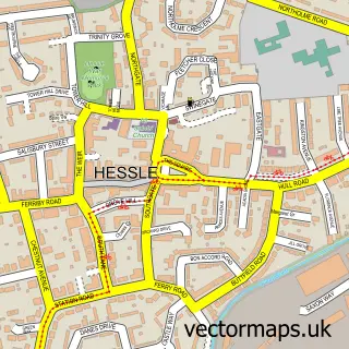
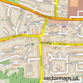
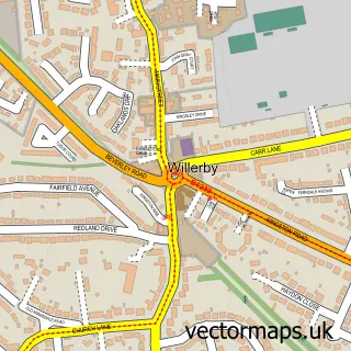
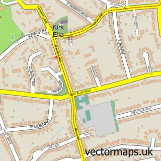
Nearby street map samples around Anlaby Common

More street maps in East Riding of Yorkshire
750 metre map area coverage
Boundary, postcode and point of interest information for the 750m x 750m rectangle centred on this sample map.
Boundaries containing map centre
Constituency: Kingston upon Hull West and Haltemprice Boro Const
District: East Riding of Yorkshire
Icb: NHS Humber and North Yorkshire ICB
Parish: Anlaby with Anlaby Common CP
Police Force: humberside
Postcode District: HU4
Postcode Sector: HU4 7
Ward: Tranby Ward
Nearby boundaries intersecting sample
District: City of Kingston upon Hull (B)
Postcode District: HU10, HU5
Postcode Sector: HU10 6, HU4 6, HU5 5
Ward: Boothferry Ward
Postcode coverage
POI category counts
Hair Salon: 6
Beauty Salon: 5
Church Cathedral: 4
Automotive Repair: 3
Real Estate Agent: 3
Auto Manufacturers And Distributors: 2
Bakery: 2
Bar: 2
Cafe: 2
Convenience Store: 2
Sample points of interest
- Hull Airport Transfers
- NW Dent Solutions
- Nissan Hull
- Trenton (Hull) Ltd. – Nissan
- CCTV In Hull
- Voltech Motors
- Featherstone Motors
- N W Dent Solutions
- Rowlands Auto Care
- Cooplands
- Fullers Quality Bakers
- La Lupa Roma
Create a larger editable map of Anlaby Common
This sample shows only a 750 metre area. To create a larger map of Anlaby Common, use our map builder to choose your own coverage area, add titles and download editable SVG, PDF and PNG files.
Create a custom map of Anlaby Common