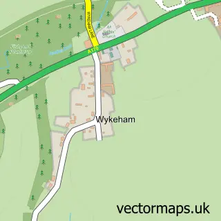
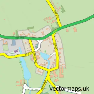
This West Ayton street map is a detailed vector street map covering a 750m x 750m area. Select a larger area to create and download your own vector street map of West Ayton.
The 750-metre map sample for West Ayton covers 305 mapped buildings and approximately 10.5 km of road detail, of which 20 named roads are named. The immediate area includes 1 GP surgery and 2 pubs. The wider area around West Ayton features 3 food and drink venues and 2 campsites within 2 miles. To create a larger or custom map of West Ayton, the map builder lets you define your own coverage area and download editable SVG, PDF and PNG files.
Create a larger editable map of West Ayton
Choose any area you need and generate a high-quality vector map instantly. Perfect for print, planning, design, business and personal use.

This West Ayton street map in North Yorkshire is available as downloadable SVG, PDF and PNG map files, or as a printed map for planning, business, display, education, local information and design work. You can also create a larger custom map area using the map selector.
What this West Ayton map sample shows
West Ayton lies within West Ayton Cp parish, part of Derwent Valley & Moor ward in the North Yorkshire local authority area. The postcode geography for this area includes the YO postcode area, the YO13 postcode district and the YO13 9 postcode sector. Residents fall under the Nhs Humber And North Yorkshire Integrated Care Board for NHS services.
Local features near West Ayton
Within 2 milesAmenities and services in and around West Ayton.
Administrative and postcode information for West Ayton
West Ayton lies within West Ayton Cp parish, part of Derwent Valley & Moor ward in the North Yorkshire local authority area. The postcode geography for this area includes the YO postcode area, the YO13 postcode district and the YO13 9 postcode sector. Residents fall under the Nhs Humber And North Yorkshire Integrated Care Board for NHS services.
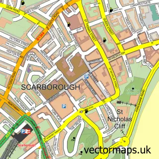
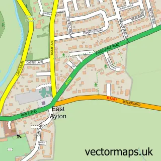
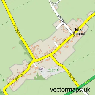
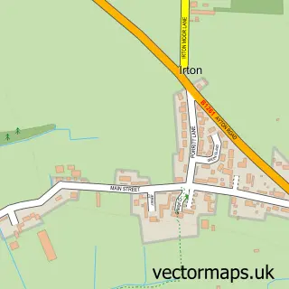
Nearby street map samples around West Ayton

More street maps in North Yorkshire
750 metre map area coverage
Boundary, postcode and point of interest information for the 750m x 750m rectangle centred on this sample map.
Boundaries containing map centre
Constituency: Scarborough and Whitby Co Const
District: North Yorkshire
Icb: NHS Humber and North Yorkshire ICB
Parish: West Ayton CP
Police Force: north yorkshire
Postcode District: YO13
Postcode Sector: YO13 9
Nearby boundaries intersecting sample
Parish: East Ayton CP, Hutton Buscel CP
Postcode coverage
POI category counts
Holiday Rental Home: 2
Pub: 2
Sports Club And League: 2
Coffee Shop: 1
Doctor: 1
Employment Agencies: 1
Engineering Services: 1
Health And Medical: 1
Library: 1
Parking: 1
Sample points of interest
- Costa Express
- Ayton and Snainton Medical Practice
- Independent Appointments
- Alan Wood & Partners
- West Ayton Surgery
- Low Hall Barn
- Yew Tree Cottage
- Derwent Valley Bridge Community Library
- West Ayton
- Enchanted Embroidery
- Ye Olde Forge Valley Inn
- Whitby, North Yorkshire
Create a larger editable map of West Ayton
This sample shows only a 750 metre area. To create a larger map of West Ayton, use our map builder to choose your own coverage area, add titles and download editable SVG, PDF and PNG files.
Create a custom map of West Ayton