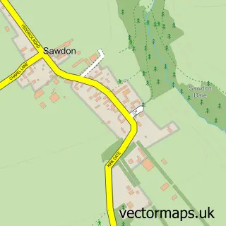
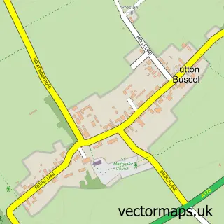
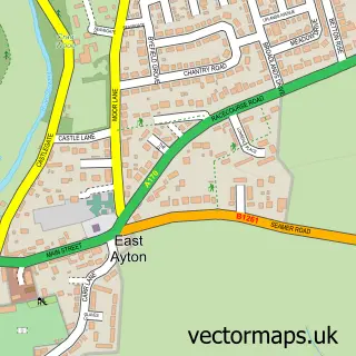
This Brompton street map is a detailed vector street map covering a 750m x 750m area. Select a larger area to create and download your own vector street map of Brompton.
The 750-metre map sample for Brompton covers 132 mapped buildings and approximately 8.3 km of road detail, of which 8 named roads are named. The immediate area includes 2 schools and 2 MOT stations within 2 miles. The wider area around Brompton features 2 tourism points of interest, 2 food and drink venues and 4 campsites within 2 miles. To create a larger or custom map of Brompton, the map builder lets you define your own coverage area and download editable SVG, PDF and PNG files.
Create a larger editable map of Brompton
Choose any area you need and generate a high-quality vector map instantly. Perfect for print, planning, design, business and personal use.

This Brompton street map in North Yorkshire is available as downloadable SVG, PDF and PNG map files, or as a printed map for planning, business, display, education, local information and design work. You can also create a larger custom map area using the map selector.
What this Brompton map sample shows
Brompton lies within Brompton Cp parish, part of Derwent Valley & Moor ward in the North Yorkshire local authority area. The postcode geography for this area includes the YO postcode area, the YO13 postcode district and the YO13 9 postcode sector. Residents fall under the Nhs Humber And North Yorkshire Integrated Care Board for NHS services.
Local features near Brompton
Within 2 milesAmenities and services in and around Brompton.
Administrative and postcode information for Brompton
Brompton lies within Brompton Cp parish, part of Derwent Valley & Moor ward in the North Yorkshire local authority area. The postcode geography for this area includes the YO postcode area, the YO13 postcode district and the YO13 9 postcode sector. Residents fall under the Nhs Humber And North Yorkshire Integrated Care Board for NHS services.
Nearby street map samples around Brompton

More street maps in North Yorkshire
750 metre map area coverage
Boundary, postcode and point of interest information for the 750m x 750m rectangle centred on this sample map.
Boundaries containing map centre
Constituency: Scarborough and Whitby Co Const
District: North Yorkshire
Icb: NHS Humber and North Yorkshire ICB
Parish: Brompton CP
Police Force: north yorkshire
Postcode District: YO13
Postcode Sector: YO13 9
Nearby boundaries intersecting sample
No additional intersecting boundaries found.
Postcode coverage
POI category counts
Butcher Shop: 4
Elementary School: 2
Landmark And Historical Building: 2
Post Office: 2
Anglican Church: 1
Bar: 1
Building Supply Store: 1
Cafe: 1
Clothing Store: 1
Coffee Shop: 1
Sample points of interest
- All Saints Parish Church
- Cayley Arms
- Payload
- B W & D J Glaves & Sons
- BW & DJ Glaves & Sons
- Glaves B W & D J & Sons
- The Old Butchers Shop Brompton
- The Forge Tearooms
- Hardwick Country Store
- Lizzie's Arty Fact & Fiction
- One on One Driving Tuition
- Brompton & Sawdon Community Primary School
Create a larger editable map of Brompton
This sample shows only a 750 metre area. To create a larger map of Brompton, use our map builder to choose your own coverage area, add titles and download editable SVG, PDF and PNG files.
Create a custom map of Brompton