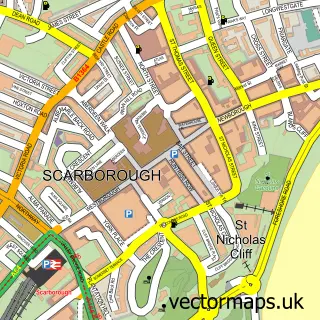
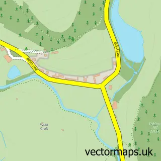
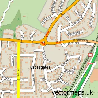
This Newby street map is a detailed vector street map covering a 750m x 750m area. Select a larger area to create and download your own vector street map of Newby.
The 750-metre map sample for Newby covers 569 mapped buildings and approximately 16.0 km of road detail, of which 32 named roads are named. The immediate area includes 1 school, 1 GP surgery, with 5 within 2 miles and 15 MOT stations within 2 miles. The wider area around Newby features 1 tourism point of interest, 2 food and drink venues and 3 campsites within 2 miles. To create a larger or custom map of Newby, the map builder lets you define your own coverage area and download editable SVG, PDF and PNG files.
Create a larger editable map of Newby
Choose any area you need and generate a high-quality vector map instantly. Perfect for print, planning, design, business and personal use.

This Newby street map in North Yorkshire is available as downloadable SVG, PDF and PNG map files, or as a printed map for planning, business, display, education, local information and design work. You can also create a larger custom map area using the map selector.
What this Newby map sample shows
Newby lies within Newby And Scalby Cp parish, part of Scalby ward in the North Yorkshire local authority area. The postcode geography for this area includes the YO postcode area, the YO13 postcode district and the YO13 0 postcode sector. Residents fall under the Nhs Humber And North Yorkshire Integrated Care Board for NHS services.
Local features near Newby
Within 2 milesAmenities and services in and around Newby.
Administrative and postcode information for Newby
The local authority covering Newby is North Yorkshire, within the county of North Yorkshire. The settlement lies within Scalby ward and Newby And Scalby Cp civil parish. The YO13 postcode district and YO13 0 postcode sector serve the immediate area. NHS provision in the area is delivered through York And Scarborough Teaching Hospitals Nhs Foundation Trust.
Nearby street map samples around Newby

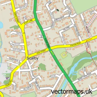
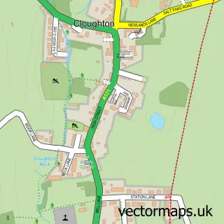
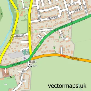
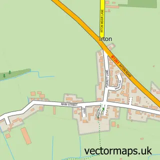
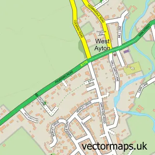
More street maps in North Yorkshire
750 metre map area coverage
Boundary, postcode and point of interest information for the 750m x 750m rectangle centred on this sample map.
Boundaries containing map centre
Constituency: Scarborough and Whitby Co Const
District: North Yorkshire
Icb: NHS Humber and North Yorkshire ICB
Parish: Newby and Scalby CP
Police Force: north yorkshire
Postcode District: YO12
Postcode Sector: YO12 5
Nearby boundaries intersecting sample
Postcode Sector: YO12 6
Postcode coverage
POI category counts
Gas Station: 4
Hair Salon: 3
Arts And Entertainment: 2
Auto Electrical Repair: 2
Convenience Store: 2
Dentist: 2
Elementary School: 2
Fish And Chips Restaurant: 2
Real Estate: 2
Shipping Center: 2
Sample points of interest
- Victoria Wharton Architectural Design
- Hire A Horror Hero
- Hire A Horror Hero
- Yorkshire Coast Mobile Valeting and Detailing Service
- C S Electrical Services
- R P Electrical
- Beauty with NS
- Chaos Laboratory Ltd.
- Robsons Brite Drives
- Carry on Printing
- Corner House
- Londis NEWBY SERVICE STATION
Create a larger editable map of Newby
This sample shows only a 750 metre area. To create a larger map of Newby, use our map builder to choose your own coverage area, add titles and download editable SVG, PDF and PNG files.
Create a custom map of Newby