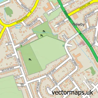
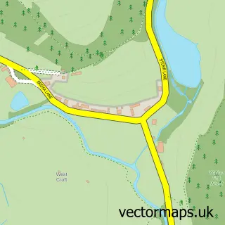
This Scalby street map is a detailed vector street map covering a 750m x 750m area. Select a larger area to create and download your own vector street map of Scalby.
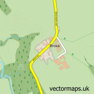
The 750-metre map sample for Scalby covers 486 mapped buildings and approximately 14.7 km of road detail, of which 40 named roads are named. The immediate area includes 3 GP surgeries within 2 miles, 4 pubs and 8 MOT stations within 2 miles. The wider area around Scalby features 1 tourism point of interest, 6 food and drink venues and 3 hotels. To create a larger or custom map of Scalby, the map builder lets you define your own coverage area and download editable SVG, PDF and PNG files.
Create a larger editable map of Scalby
Choose any area you need and generate a high-quality vector map instantly. Perfect for print, planning, design, business and personal use.

This Scalby street map in North Yorkshire is available as downloadable SVG, PDF and PNG map files, or as a printed map for planning, business, display, education, local information and design work. You can also create a larger custom map area using the map selector.
What this Scalby map sample shows
Scalby lies within Newby And Scalby Cp parish, part of Scalby ward in the North Yorkshire local authority area. The postcode geography for this area includes the YO postcode area, the YO13 postcode district and the YO13 0 postcode sector. Residents fall under the Nhs Humber And North Yorkshire Integrated Care Board for NHS services.
Local features near Scalby
Within 2 milesAmenities and services in and around Scalby.
Administrative and postcode information for Scalby
Scalby lies within Newby And Scalby Cp parish, part of Scalby ward in the North Yorkshire local authority area. The postcode geography for this area includes the YO postcode area, the YO13 postcode district and the YO13 0 postcode sector. Residents fall under the Nhs Humber And North Yorkshire Integrated Care Board for NHS services.
Nearby street map samples around Scalby

More street maps in North Yorkshire
750 metre map area coverage
Boundary, postcode and point of interest information for the 750m x 750m rectangle centred on this sample map.
Boundaries containing map centre
Constituency: Scarborough and Whitby Co Const
District: North Yorkshire
Icb: NHS Humber and North Yorkshire ICB
Parish: Newby and Scalby CP
Police Force: north yorkshire
Postcode District: YO13
Postcode Sector: YO13 0
Nearby boundaries intersecting sample
Postcode District: YO12
Postcode Sector: YO12 5, YO12 6
Postcode coverage
POI category counts
Pub: 4
Doctor: 3
Hotel: 3
Self Catering Accommodation: 3
Church Cathedral: 2
Web Designer: 2
Accountant: 1
Bar: 1
Beauty And Spa: 1
Beauty Salon: 1
Sample points of interest
- AIMS Accountants for Business
- Whitbread Group
- Aesthetics by Bree
- Body Concepts Beauty Salon
- The Yew Tree
- Goodies Caterers
- Scalby Methodist Church
- St Laurence's Church
- Yew Tree Cafe
- Newby and Scalby Community Hall
- Scalby and Newby Village Trust
- Scalby Stores
Create a larger editable map of Scalby
This sample shows only a 750 metre area. To create a larger map of Scalby, use our map builder to choose your own coverage area, add titles and download editable SVG, PDF and PNG files.
Create a custom map of Scalby