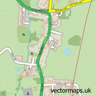
This Burniston street map is a detailed vector street map covering a 750m x 750m area. Select a larger area to create and download your own vector street map of Burniston.
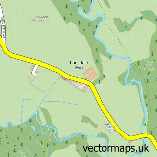
The 750-metre map sample for Burniston covers 250 mapped buildings and approximately 7.7 km of road detail, of which 17 named roads are named. The immediate area includes 1 GP surgery within 2 miles, 1 pub and 2 MOT stations. The wider area around Burniston features 2 tourism points of interest, 1 food and drink venue and 1 hotel. To create a larger or custom map of Burniston, the map builder lets you define your own coverage area and download editable SVG, PDF and PNG files.
Create a larger editable map of Burniston
Choose any area you need and generate a high-quality vector map instantly. Perfect for print, planning, design, business and personal use.

This Burniston street map in North Yorkshire is available as downloadable SVG, PDF and PNG map files, or as a printed map for planning, business, display, education, local information and design work. You can also create a larger custom map area using the map selector.
What this Burniston map sample shows
Burniston lies within Burniston Cp parish, part of Burniston & Cloughton ward in the North Yorkshire local authority area. The postcode geography for this area includes the YO postcode area, the YO13 postcode district and the YO13 0 postcode sector. Residents fall under the Nhs Humber And North Yorkshire Integrated Care Board for NHS services.
Local features near Burniston
Within 2 milesAmenities and services in and around Burniston.
Administrative and postcode information for Burniston
The local authority covering Burniston is North Yorkshire, within the county of North Yorkshire. The settlement lies within Burniston & Cloughton ward and Burniston Cp civil parish. The YO13 postcode district and YO13 0 postcode sector serve the immediate area. NHS provision in the area is delivered through York And Scarborough Teaching Hospitals Nhs Foundation Trust.
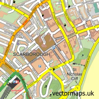
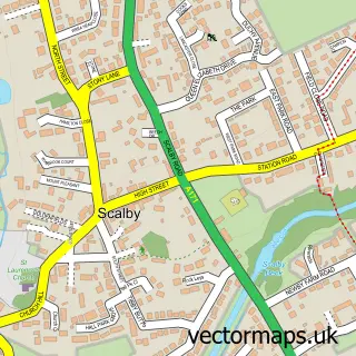
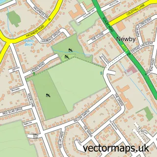
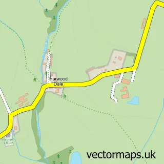
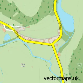
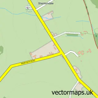
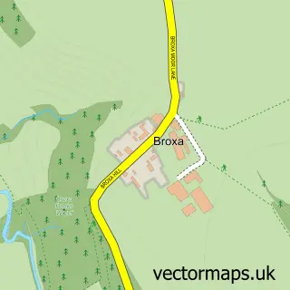
Nearby street map samples around Burniston

More street maps in North Yorkshire
750 metre map area coverage
Boundary, postcode and point of interest information for the 750m x 750m rectangle centred on this sample map.
Boundaries containing map centre
Constituency: Scarborough and Whitby Co Const
District: North Yorkshire
Icb: NHS Humber and North Yorkshire ICB
Parish: Burniston CP
Police Force: north yorkshire
Postcode District: YO13
Postcode Sector: YO13 0
Nearby boundaries intersecting sample
Parish: Cloughton CP
Postcode coverage
POI category counts
Convenience Store: 2
Automotive Repair: 1
Beauty And Spa: 1
Campground: 1
Church Cathedral: 1
Construction Services: 1
Currency Exchange: 1
Driving School: 1
Flowers And Gifts Shop: 1
Health And Medical: 1
Sample points of interest
- Burniston Motor Works
- Kathryn Lish - personal Assistant
- The Haven Caravan Park
- Burniston Methodist Church
- Eddie Preston Building and Joinery
- Burniston Post Office
- Burniston Stores
- Post Office Travel Money
- Annabel's School of Motoring
- Minnie Bee's - Floral Design
- Common Sense Safety Solutions
- Caring Kind Home Care Ltd
Create a larger editable map of Burniston
This sample shows only a 750 metre area. To create a larger map of Burniston, use our map builder to choose your own coverage area, add titles and download editable SVG, PDF and PNG files.
Create a custom map of Burniston