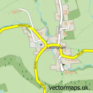
This Wrelton street map is a detailed vector street map covering a 750m x 750m area. Select a larger area to create and download your own vector street map of Wrelton.
The 750-metre map sample for Wrelton covers 120 mapped buildings and approximately 10.8 km of road detail, of which 7 named roads are named. The immediate area includes 2 pubs and 1 MOT station within 2 miles. The wider area around Wrelton features 1 tourism point of interest, 2 food and drink venues and 3 hotels. To create a larger or custom map of Wrelton, the map builder lets you define your own coverage area and download editable SVG, PDF and PNG files.
Create a larger editable map of Wrelton
Choose any area you need and generate a high-quality vector map instantly. Perfect for print, planning, design, business and personal use.

This Wrelton street map in North Yorkshire is available as downloadable SVG, PDF and PNG map files, or as a printed map for planning, business, display, education, local information and design work. You can also create a larger custom map area using the map selector.
What this Wrelton map sample shows
Wrelton lies within Wrelton Cp parish, part of Cropton ward in the North Yorkshire local authority area. The postcode geography for this area includes the YO postcode area, the YO18 postcode district and the YO18 8 postcode sector. Residents fall under the Nhs Humber And North Yorkshire Integrated Care Board for NHS services.
Local features near Wrelton
Within 2 milesAmenities and services in and around Wrelton.
Administrative and postcode information for Wrelton
Wrelton lies within Wrelton Cp parish, part of Cropton ward in the North Yorkshire local authority area. The postcode geography for this area includes the YO postcode area, the YO18 postcode district and the YO18 8 postcode sector. Residents fall under the Nhs Humber And North Yorkshire Integrated Care Board for NHS services.
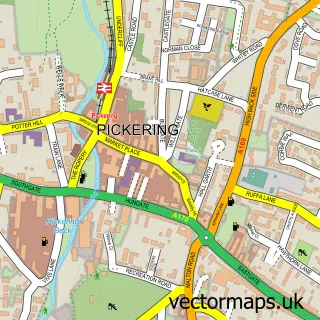
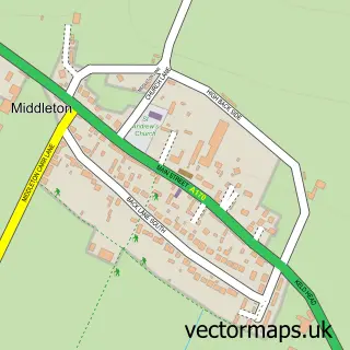
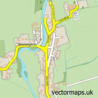
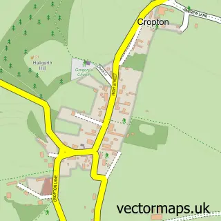
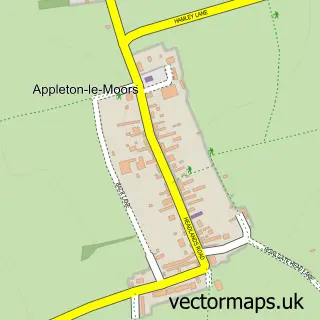
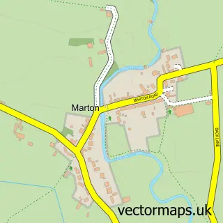
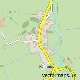
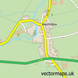
Nearby street map samples around Wrelton

More street maps in North Yorkshire
750 metre map area coverage
Boundary, postcode and point of interest information for the 750m x 750m rectangle centred on this sample map.
Boundaries containing map centre
Constituency: Thirsk and Malton Co Const
District: North Yorkshire
Icb: NHS Humber and North Yorkshire ICB
Parish: Wrelton CP
Police Force: north yorkshire
Postcode District: YO18
Postcode Sector: YO18 8
Nearby boundaries intersecting sample
Parish: Aislaby CP
Postcode coverage
POI category counts
Hotel: 3
Pub: 2
Arts And Entertainment: 1
Bed And Breakfast: 1
Community Center: 1
Guest House: 1
Holiday Rental Home: 1
National Park: 1
Retail: 1
Tobacco Shop: 1
Sample points of interest
- Aislaby
- Belmont B&B
- Wrelton Village Hall
- Belmont Bed And Breakfast
- Beech Farm Holiday Cottages
- Cow pasture cottage wrelton
- Croft Head Farm Cottages
- The Huntsman Holiday Cottages
- Levisham Moor
- The Buck Inn
- The Buck Inn at Wrelton
- Wayside Holiday Park
Create a larger editable map of Wrelton
This sample shows only a 750 metre area. To create a larger map of Wrelton, use our map builder to choose your own coverage area, add titles and download editable SVG, PDF and PNG files.
Create a custom map of Wrelton