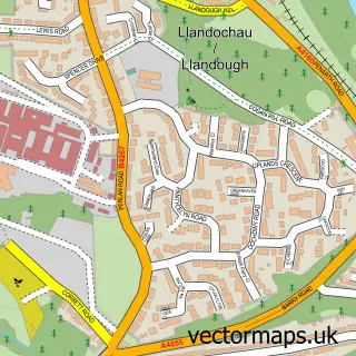
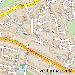
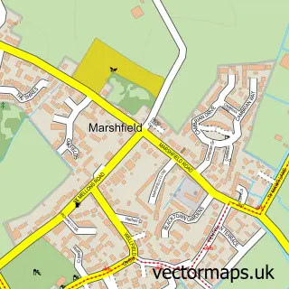
This Cardiff street map is a detailed vector street map covering a 750m x 750m area. Select a larger area to create and download your own vector street map of Cardiff.
The 750-metre map sample for Cardiff covers 79 mapped buildings and approximately 13.7 km of road detail, of which 36 named roads are named. The immediate area includes 5 GP surgeries within 2 miles, 36 pubs and 59 MOT stations within 2 miles. The wider area around Cardiff features 30 tourism points of interest, 123 food and drink venues and 22 hotels. To create a larger or custom map of Cardiff, the map builder lets you define your own coverage area and download editable SVG, PDF and PNG files.
Create a larger editable map of Cardiff
Choose any area you need and generate a high-quality vector map instantly. Perfect for print, planning, design, business and personal use.

This Cardiff street map in South Glamorgan is available as downloadable SVG, PDF and PNG map files, or as a printed map for planning, business, display, education, local information and design work. You can also create a larger custom map area using the map selector.
What this Cardiff map sample shows
Cardiff lies within Canton Community parish, part of Canton ward in the Caerdydd - Cardiff local authority area. The postcode geography for this area includes the CF postcode area, the CF5 postcode district and the CF5 1 postcode sector. Residents fall under the Cardiff And Vale University Health Board for NHS services.
Local features near Cardiff
Within 2 milesAmenities and services in and around Cardiff.
Administrative and postcode information for Cardiff
Cardiff lies within Canton Community parish, part of Canton ward in the Caerdydd - Cardiff local authority area. The postcode geography for this area includes the CF postcode area, the CF5 postcode district and the CF5 1 postcode sector. Residents fall under the Cardiff And Vale University Health Board for NHS services.
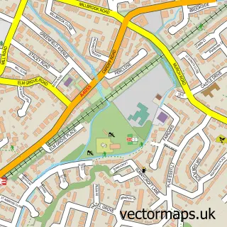
Nearby street map samples around Cardiff

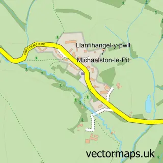
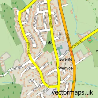
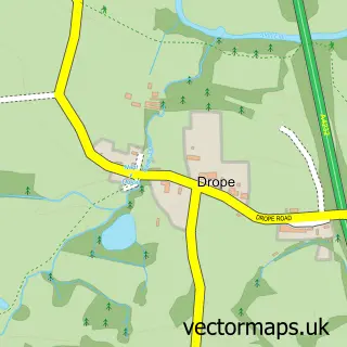
More street maps in South Glamorgan
750 metre map area coverage
Boundary, postcode and point of interest information for the 750m x 750m rectangle centred on this sample map.
Boundaries containing map centre
Constituency: Cardiff South and Penarth Boro Const
District: Caerdydd - Cardiff
Icb: Cardiff and Vale University
Parish: Castle Community
Police Force: south wales
Postcode District: CF10
Postcode Sector: CF10 1
Nearby boundaries intersecting sample
Constituency: Cardiff West Boro Const
Parish: Riverside Community
Postcode District: CF11
Postcode Sector: CF10 2, CF10 3, CF11 6
Postcode coverage
POI category counts
Clothing Store: 78
Jewelry Store: 48
Coffee Shop: 38
Pub: 36
Shoe Store: 34
Bar: 33
Restaurant: 30
Employment Agencies: 27
Dance Club: 26
Hotel: 22
Sample points of interest
- BPAS Cardiff
- Cardiff (UK)
- Alpha Omega College And English Language School
- Fantasy Lounge
- Playhouse Gentlemen's Club
- Design Principle
- Eventeem Ltd.
- Golley Slater
- Nick Walsh Studios
- Open Plan Graphic Design
- Progressive Global Training
- Rebel Lion Advertising
Create a larger editable map of Cardiff
This sample shows only a 750 metre area. To create a larger map of Cardiff, use our map builder to choose your own coverage area, add titles and download editable SVG, PDF and PNG files.
Create a custom map of Cardiff