This Marshfield street map is a detailed vector street map covering a 750m x 750m area. Select a larger area to create and download your own vector street map of Marshfield.
The 750-metre map sample for Marshfield covers 384 mapped buildings and approximately 11.9 km of road detail, of which 22 named roads are named. The immediate area includes 2 pubs and 1 MOT station. The wider area around Marshfield features 2 tourism points of interest and 3 food and drink venues. To create a larger or custom map of Marshfield, the map builder lets you define your own coverage area and download editable SVG, PDF and PNG files.
Create a larger editable map of Marshfield
Choose any area you need and generate a high-quality vector map instantly. Perfect for print, planning, design, business and personal use.

This Marshfield street map in Gwent is available as downloadable SVG, PDF and PNG map files, or as a printed map for planning, business, display, education, local information and design work. You can also create a larger custom map area using the map selector.
What this Marshfield map sample shows
Marshfield lies within Marshfield Community parish, part of Marshfield ward in the Casnewydd - Newport local authority area. The postcode geography for this area includes the CF postcode area, the CF3 postcode district and the CF3 2 postcode sector. Residents fall under the Aneurin Bevan University Health Board for NHS services.
Local features near Marshfield
Within 2 milesAmenities and services in and around Marshfield.
Administrative and postcode information for Marshfield
The local authority covering Marshfield is Casnewydd - Newport, within the county of Gwent. The settlement lies within Marshfield ward and Marshfield Community civil parish. The CF3 postcode district and CF3 2 postcode sector serve the immediate area. NHS provision in the area is delivered through Aneurin Bevan University Health Board.
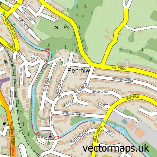
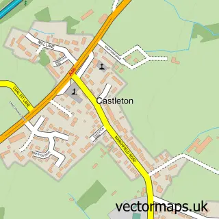
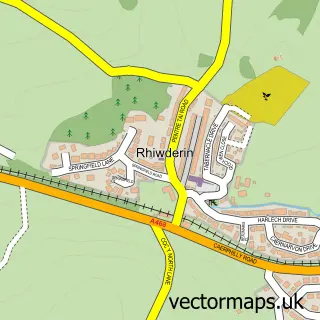
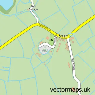
Nearby street map samples around Marshfield

More street maps in Gwent
750 metre map area coverage
Boundary, postcode and point of interest information for the 750m x 750m rectangle centred on this sample map.
Boundaries containing map centre
Constituency: Newport West and Islwyn Co Const
District: Casnewydd - Newport
Icb: Aneurin Bevan University
Parish: Marshfield Community
Police Force: gwent
Postcode District: CF3
Postcode Sector: CF3 2
Nearby boundaries intersecting sample
No additional intersecting boundaries found.
Postcode coverage
POI category counts
Advertising Agency: 2
Pub: 2
Accountant: 1
Bridal Shop: 1
Carpet Cleaning: 1
Church Cathedral: 1
Coffee Shop: 1
Community Services Non Profits: 1
Education: 1
Energy Company: 1
Sample points of interest
- Nathan Evans
- Klikafrik Ltd.
- Trendy Design Co
- Crystal Couture
- King Carpet and Gutter Cleaning
- Castleton Baptist Church
- The Village Coffee Shop
- Marshfield Community Council
- Wales & South West Training
- Connected Kerb Charging Stations
- King Cleaning Services
- Cardiff Technoscapes
Create a larger editable map of Marshfield
This sample shows only a 750 metre area. To create a larger map of Marshfield, use our map builder to choose your own coverage area, add titles and download editable SVG, PDF and PNG files.
Create a custom map of Marshfield