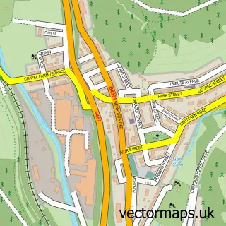
This Rhiwderin street map is a detailed vector street map covering a 750m x 750m area. Select a larger area to create and download your own vector street map of Rhiwderin.
The 750-metre map sample for Rhiwderin covers 172 mapped buildings and approximately 13.2 km of road detail, of which 15 named roads are named. The immediate area includes 1 pub and 4 MOT stations within 2 miles. The wider area around Rhiwderin features 1 tourism point of interest and 1 food and drink venue. To create a larger or custom map of Rhiwderin, the map builder lets you define your own coverage area and download editable SVG, PDF and PNG files.
Create a larger editable map of Rhiwderin
Choose any area you need and generate a high-quality vector map instantly. Perfect for print, planning, design, business and personal use.

This Rhiwderin street map in Gwent is available as downloadable SVG, PDF and PNG map files, or as a printed map for planning, business, display, education, local information and design work. You can also create a larger custom map area using the map selector.
What this Rhiwderin map sample shows
Rhiwderin lies within Graig Community parish, part of Graig ward in the Casnewydd - Newport local authority area. The postcode geography for this area includes the NP postcode area, the NP10 postcode district and the NP10 8 postcode sector. Residents fall under the Aneurin Bevan University Health Board for NHS services.
Local features near Rhiwderin
Within 2 milesAmenities and services in and around Rhiwderin.
Administrative and postcode information for Rhiwderin
Rhiwderin lies within Graig Community parish, part of Graig ward in the Casnewydd - Newport local authority area. The postcode geography for this area includes the NP postcode area, the NP10 postcode district and the NP10 8 postcode sector. Residents fall under the Aneurin Bevan University Health Board for NHS services.
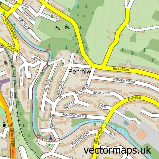
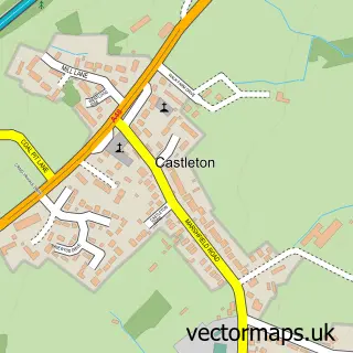
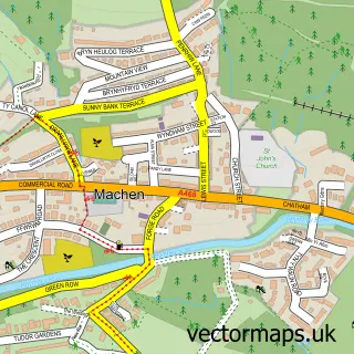
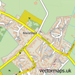
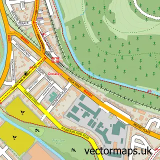
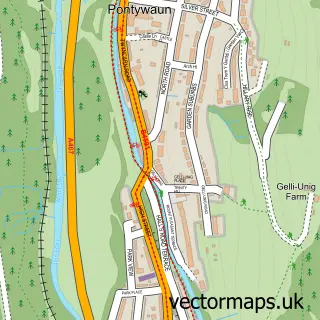
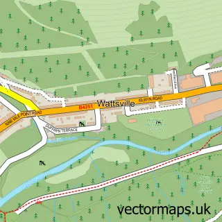
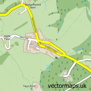
Nearby street map samples around Rhiwderin

More street maps in Gwent
750 metre map area coverage
Boundary, postcode and point of interest information for the 750m x 750m rectangle centred on this sample map.
Boundaries containing map centre
Constituency: Newport West and Islwyn Co Const
District: Casnewydd - Newport
Icb: Aneurin Bevan University
Parish: Graig Community
Police Force: gwent
Postcode District: NP10
Postcode Sector: NP10 8
Nearby boundaries intersecting sample
No additional intersecting boundaries found.
Postcode coverage
POI category counts
Community Center: 2
Post Office: 2
Beer Garden: 1
Business Manufacturing And Supply: 1
Car Dealer: 1
Church Cathedral: 1
Contractor: 1
Education: 1
Farmers Market: 1
Home Cleaning: 1
Sample points of interest
- Rhiwderin Inn
- Forestry Firewood
- Edwin Taylor Cars
- Tabernacle Congregational Chapel
- Rhiwderin Community Centre
- Rhiwderin Village Hall
- Tiling and Natural Stone Flooring Installations
- Jibber Jabber Classes and Parties South Wales
- Rhiwderin and Bassaleg Farmers' Market
- Cleaning in Cardiff Services
- Rhiwderin
- Canine Cuts Dog Grooming
Create a larger editable map of Rhiwderin
This sample shows only a 750 metre area. To create a larger map of Rhiwderin, use our map builder to choose your own coverage area, add titles and download editable SVG, PDF and PNG files.
Create a custom map of Rhiwderin