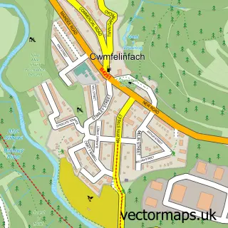
This Rudry street map is a detailed vector street map covering a 750m x 750m area. Select a larger area to create and download your own vector street map of Rudry.
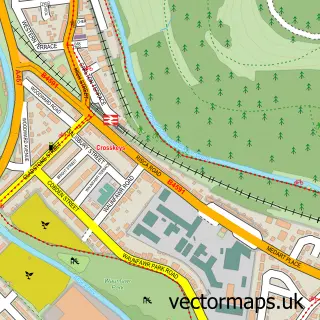
The 750-metre map sample for Rudry covers 80 mapped buildings and approximately 5.6 km of road detail, of which 5 named roads are named. The immediate area includes 1 GP surgery within 2 miles and 4 MOT stations within 2 miles. To create a larger or custom map of Rudry, the map builder lets you define your own coverage area and download editable SVG, PDF and PNG files.
Create a larger editable map of Rudry
Choose any area you need and generate a high-quality vector map instantly. Perfect for print, planning, design, business and personal use.

This Rudry street map in Gwent is available as downloadable SVG, PDF and PNG map files, or as a printed map for planning, business, display, education, local information and design work. You can also create a larger custom map area using the map selector.
What this Rudry map sample shows
Rudry lies within Rudry Community parish, part of St. James ward in the Caerffili - Caerphilly local authority area. The postcode geography for this area includes the CF postcode area, the CF83 postcode district and the CF83 3 postcode sector. Residents fall under the Aneurin Bevan University Health Board for NHS services.
Local features near Rudry
Within 2 milesAmenities and services in and around Rudry.
Administrative and postcode information for Rudry
Rudry lies within Rudry Community parish, part of St. James ward in the Caerffili - Caerphilly local authority area. The postcode geography for this area includes the CF postcode area, the CF83 postcode district and the CF83 3 postcode sector. Residents fall under the Aneurin Bevan University Health Board for NHS services.
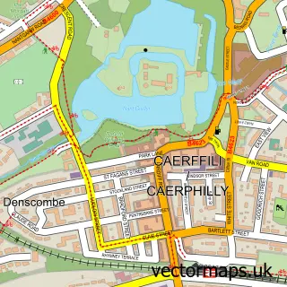
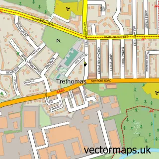
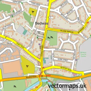
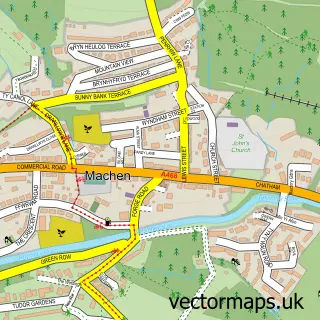
Nearby street map samples around Rudry

More street maps in Gwent
750 metre map area coverage
Boundary, postcode and point of interest information for the 750m x 750m rectangle centred on this sample map.
Boundaries containing map centre
Constituency: Caerphilly Co Const
District: Caerffili - Caerphilly
Icb: Aneurin Bevan University
Parish: Rudry Community
Police Force: gwent
Postcode District: CF83
Postcode Sector: CF83 3
Nearby boundaries intersecting sample
No additional intersecting boundaries found.
Postcode coverage
POI category counts
Bar: 1
Bathroom Remodeling: 1
Bed And Breakfast: 1
British Restaurant: 1
Dance School: 1
Gardener: 1
Home Service: 1
Package Locker: 1
Sample points of interest
- Rudry Village Inn - Monte
- Caerphilly Bathroom Services
- The Coach House
- Maenllwyd Inn
- Allora Dance
- JS Lane Services
- H C Plastics
- InPost
Create a larger editable map of Rudry
This sample shows only a 750 metre area. To create a larger map of Rudry, use our map builder to choose your own coverage area, add titles and download editable SVG, PDF and PNG files.
Create a custom map of Rudry