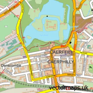
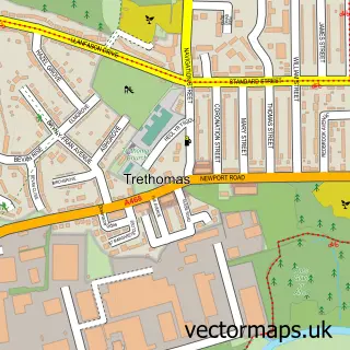
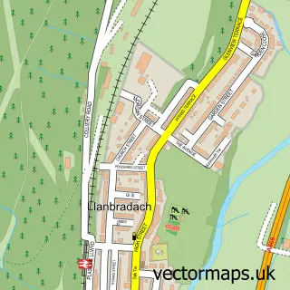
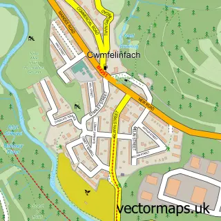
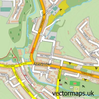
This Bedwas street map is a detailed vector street map covering a 750m x 750m area. Select a larger area to create and download your own vector street map of Bedwas.
The 750-metre map sample for Bedwas covers 476 mapped buildings and approximately 21.2 km of road detail, of which 34 named roads are named. The immediate area includes 2 schools, 1 GP surgery within 2 miles, 3 pubs and 7 MOT stations within 2 miles. The wider area around Bedwas features 1 tourism point of interest and 6 food and drink venues. To create a larger or custom map of Bedwas, the map builder lets you define your own coverage area and download editable SVG, PDF and PNG files.
Create a larger editable map of Bedwas
Choose any area you need and generate a high-quality vector map instantly. Perfect for print, planning, design, business and personal use.

This Bedwas street map in Gwent is available as downloadable SVG, PDF and PNG map files, or as a printed map for planning, business, display, education, local information and design work. You can also create a larger custom map area using the map selector.
What this Bedwas map sample shows
Bedwas lies within Bedwas, Trethomas And Machen Community parish, part of Bedwas, Trethomas And Machen ward in the Caerffili - Caerphilly local authority area. The postcode geography for this area includes the CF postcode area, the CF83 postcode district and the CF83 8 postcode sector. Residents fall under the Aneurin Bevan University Health Board for NHS services.
Local features near Bedwas
Within 2 milesAmenities and services in and around Bedwas.
Administrative and postcode information for Bedwas
The local authority covering Bedwas is Caerffili - Caerphilly, within the county of Gwent. The settlement lies within Bedwas, Trethomas And Machen ward and Bedwas, Trethomas And Machen Community civil parish. The CF83 postcode district and CF83 8 postcode sector serve the immediate area. NHS provision in the area is delivered through Aneurin Bevan University Health Board.
Nearby street map samples around Bedwas

More street maps in Gwent
750 metre map area coverage
Boundary, postcode and point of interest information for the 750m x 750m rectangle centred on this sample map.
Boundaries containing map centre
Constituency: Caerphilly Co Const
District: Caerffili - Caerphilly
Icb: Aneurin Bevan University
Parish: Bedwas, Trethomas and Machen Community
Police Force: gwent
Postcode District: CF83
Postcode Sector: CF83 8
Nearby boundaries intersecting sample
Parish: Van Community
Postcode Sector: CF83 3
Postcode coverage
POI category counts
Beauty Salon: 4
Driving School: 3
Elementary School: 3
Pub: 3
Sports Club And League: 3
Bar: 2
Childrens Clothing Store: 2
Chinese Restaurant: 2
Church Cathedral: 2
Construction Services: 2
Sample points of interest
- DC Tax and Accounts Ltd
- Dtc23
- One Stop Appliance Repairs
- CEF
- Shop Holistic Ltd
- Greenacre Drive Sheltered Housing Complex
- The Cooperative Food (BF) Bedwas, Bedwas
- Car total remaps Ltd
- Greggs
- Bethel Baptist Church
- The Bridgend Inn
- The Wonky Bar
Create a larger editable map of Bedwas
This sample shows only a 750 metre area. To create a larger map of Bedwas, use our map builder to choose your own coverage area, add titles and download editable SVG, PDF and PNG files.
Create a custom map of Bedwas