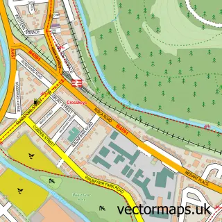
This Trethomas street map is a detailed vector street map covering a 750m x 750m area. Select a larger area to create and download your own vector street map of Trethomas.
The 750-metre map sample for Trethomas covers 379 mapped buildings and approximately 14.0 km of road detail, of which 25 named roads are named. The immediate area includes 1 school, 2 GP surgeries within 2 miles, 1 pub and 1 MOT station, with 5 within 2 miles. The wider area around Trethomas features 4 food and drink venues. To create a larger or custom map of Trethomas, the map builder lets you define your own coverage area and download editable SVG, PDF and PNG files.
Create a larger editable map of Trethomas
Choose any area you need and generate a high-quality vector map instantly. Perfect for print, planning, design, business and personal use.

This Trethomas street map in Gwent is available as downloadable SVG, PDF and PNG map files, or as a printed map for planning, business, display, education, local information and design work. You can also create a larger custom map area using the map selector.
What this Trethomas map sample shows
Trethomas lies within Bedwas, Trethomas And Machen Community parish, part of Bedwas, Trethomas And Machen ward in the Caerffili - Caerphilly local authority area. The postcode geography for this area includes the CF postcode area, the CF83 postcode district and the CF83 8 postcode sector. Residents fall under the Aneurin Bevan University Health Board for NHS services.
Local features near Trethomas
Within 2 milesAmenities and services in and around Trethomas.
Administrative and postcode information for Trethomas
Trethomas lies within Bedwas, Trethomas And Machen Community parish, part of Bedwas, Trethomas And Machen ward in the Caerffili - Caerphilly local authority area. The postcode geography for this area includes the CF postcode area, the CF83 postcode district and the CF83 8 postcode sector. Residents fall under the Aneurin Bevan University Health Board for NHS services.
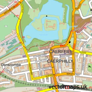
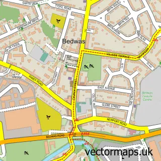
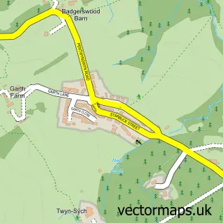
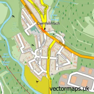
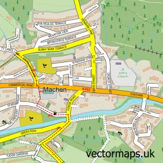
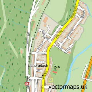
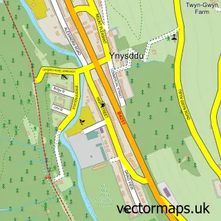
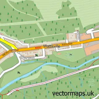
Nearby street map samples around Trethomas

More street maps in Gwent
750 metre map area coverage
Boundary, postcode and point of interest information for the 750m x 750m rectangle centred on this sample map.
Boundaries containing map centre
Constituency: Caerphilly Co Const
District: Caerffili - Caerphilly
Icb: Aneurin Bevan University
Parish: Bedwas, Trethomas and Machen Community
Police Force: gwent
Postcode District: CF83
Postcode Sector: CF83 8
Nearby boundaries intersecting sample
No additional intersecting boundaries found.
Postcode coverage
POI category counts
Building Supply Store: 9
Carpet Store: 3
Professional Services: 3
Automotive Repair: 2
Barber: 2
Cafe: 2
Church Cathedral: 2
Contractor: 2
Convenience Store: 2
Food Delivery Service: 2
Sample points of interest
- Perspectives Accounting
- Retro Revivals
- Thomas Productions
- Taylor Motor Company
- Joseph Sullivan Cars & Classics
- Pocket Paintworks
- Kings Barber
- Royal Barbers Trethomas
- Yve's Salon
- Bedazzled Hair and Beauty
- Castle Bikes
- HOCL Health Ltd
Create a larger editable map of Trethomas
This sample shows only a 750 metre area. To create a larger map of Trethomas, use our map builder to choose your own coverage area, add titles and download editable SVG, PDF and PNG files.
Create a custom map of Trethomas