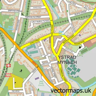
This Cwmfelinfach street map is a detailed vector street map covering a 750m x 750m area. Select a larger area to create and download your own vector street map of Cwmfelinfach.
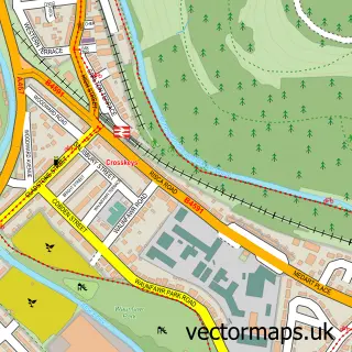
The 750-metre map sample for Cwmfelinfach covers 183 mapped buildings and approximately 13.2 km of road detail, of which 17 named roads are named. The immediate area includes 1 school, 1 GP surgery and 3 MOT stations within 2 miles. To create a larger or custom map of Cwmfelinfach, the map builder lets you define your own coverage area and download editable SVG, PDF and PNG files.
Create a larger editable map of Cwmfelinfach
Choose any area you need and generate a high-quality vector map instantly. Perfect for print, planning, design, business and personal use.

This Cwmfelinfach street map in Gwent is available as downloadable SVG, PDF and PNG map files, or as a printed map for planning, business, display, education, local information and design work. You can also create a larger custom map area using the map selector.
What this Cwmfelinfach map sample shows
Cwmfelinfach lies within Ynysddu Community parish, part of Ynysddu ward in the Caerffili - Caerphilly local authority area. The postcode geography for this area includes the NP postcode area, the NP11 postcode district and the NP11 7 postcode sector. Residents fall under the Aneurin Bevan University Health Board for NHS services.
Local features near Cwmfelinfach
Within 2 milesAmenities and services in and around Cwmfelinfach.
Administrative and postcode information for Cwmfelinfach
Cwmfelinfach lies within Ynysddu Community parish, part of Ynysddu ward in the Caerffili - Caerphilly local authority area. The postcode geography for this area includes the NP postcode area, the NP11 postcode district and the NP11 7 postcode sector. Residents fall under the Aneurin Bevan University Health Board for NHS services.
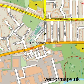
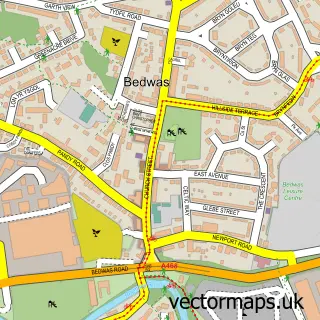
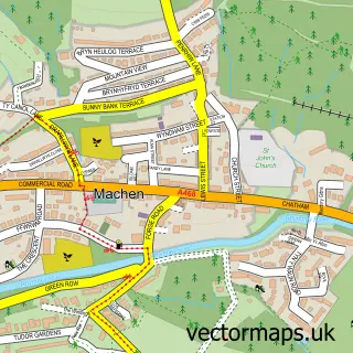
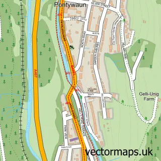
Nearby street map samples around Cwmfelinfach

More street maps in Gwent
750 metre map area coverage
Boundary, postcode and point of interest information for the 750m x 750m rectangle centred on this sample map.
Boundaries containing map centre
Constituency: Caerphilly Co Const
District: Caerffili - Caerphilly
Icb: Aneurin Bevan University
Parish: Ynysddu Community
Police Force: gwent
Postcode District: NP11
Postcode Sector: NP11 7
Nearby boundaries intersecting sample
No additional intersecting boundaries found.
Postcode coverage
POI category counts
Post Office: 3
Social Service Organizations: 3
Tattoo And Piercing: 3
Community Center: 2
Elementary School: 2
Advertising Agency: 1
Auto Loan Provider: 1
Barber: 1
Beauty And Spa: 1
Bed And Breakfast: 1
Sample points of interest
- Hyderus Cyfyngedig
- Nealon Jones Mortgage Specialists
- Backyard Barbers
- Glitz & Glam
- Wildwinds
- Cwmfelinfach Community Church
- Cwmfelinfach Community Centre
- Sirhowy Valley Hub CIC
- PFA for Cwmfelinfach Primary School
- Chanoli Kitchens and Bedrooms
- JLD Driving School
- Ae Petersen
Create a larger editable map of Cwmfelinfach
This sample shows only a 750 metre area. To create a larger map of Cwmfelinfach, use our map builder to choose your own coverage area, add titles and download editable SVG, PDF and PNG files.
Create a custom map of Cwmfelinfach