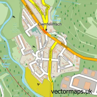
This Wyllie street map is a detailed vector street map covering a 750m x 750m area. Select a larger area to create and download your own vector street map of Wyllie.
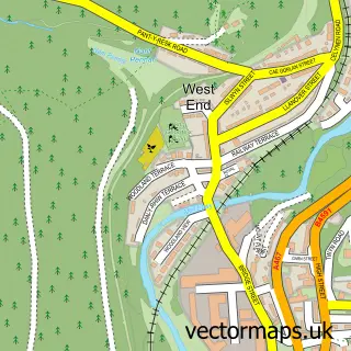
The 750-metre map sample for Wyllie covers 115 mapped buildings and approximately 15.2 km of road detail, of which 7 named roads are named. The immediate area includes 2 GP surgeries within 2 miles, 1 pub and 7 MOT stations within 2 miles. The wider area around Wyllie features 1 food and drink venue and 1 hotel. To create a larger or custom map of Wyllie, the map builder lets you define your own coverage area and download editable SVG, PDF and PNG files.
Create a larger editable map of Wyllie
Choose any area you need and generate a high-quality vector map instantly. Perfect for print, planning, design, business and personal use.

This Wyllie street map in Gwent is available as downloadable SVG, PDF and PNG map files, or as a printed map for planning, business, display, education, local information and design work. You can also create a larger custom map area using the map selector.
What this Wyllie map sample shows
Wyllie lies within Ynysddu Community parish, part of Ynysddu ward in the Caerffili - Caerphilly local authority area. The postcode geography for this area includes the NP postcode area, the NP11 postcode district and the NP11 7 postcode sector. Residents fall under the Aneurin Bevan University Health Board for NHS services.
Local features near Wyllie
Within 2 milesAmenities and services in and around Wyllie.
Administrative and postcode information for Wyllie
The local authority covering Wyllie is Caerffili - Caerphilly, within the county of Gwent. The settlement lies within Ynysddu ward and Ynysddu Community civil parish. The NP11 postcode district and NP11 7 postcode sector serve the immediate area. NHS provision in the area is delivered through Aneurin Bevan University Health Board.
Nearby street map samples around Wyllie
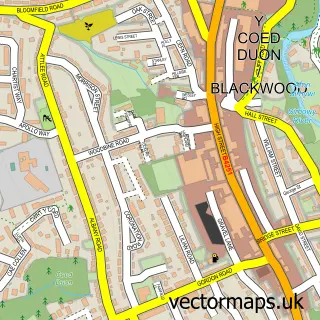

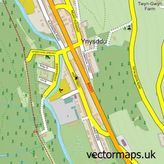
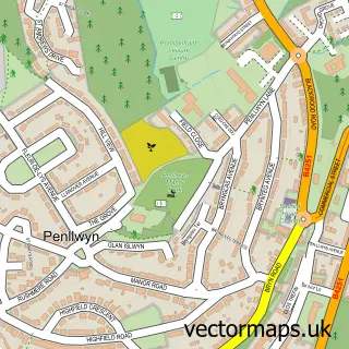
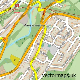
More street maps in Gwent
750 metre map area coverage
Boundary, postcode and point of interest information for the 750m x 750m rectangle centred on this sample map.
Boundaries containing map centre
Constituency: Caerphilly Co Const
District: Caerffili - Caerphilly
Icb: Aneurin Bevan University
Parish: Ynysddu Community
Police Force: gwent
Postcode District: NP12
Postcode Sector: NP12 2
Nearby boundaries intersecting sample
Parish: Pontllanfraith Community
Postcode District: NP11
Postcode Sector: NP11 7
Postcode coverage
POI category counts
Retail: 2
Advertising Agency: 1
Caterer: 1
Education: 1
Hotel: 1
Pub: 1
Tire Shop: 1
Youth Organizations: 1
Sample points of interest
- Make it Sticky
- Ty-Coppi Farm Self Catering Accommodation
- Sirhowy Valley Honeybee Co. Ltd
- Iswlyn Inn Wyllie
- Islwyn Inn
- Courier Expert
- Sirhowy Valley Honeybee Company
- Smartyre
- Oakdale J.A.M/Youth Club
Create a larger editable map of Wyllie
This sample shows only a 750 metre area. To create a larger map of Wyllie, use our map builder to choose your own coverage area, add titles and download editable SVG, PDF and PNG files.
Create a custom map of Wyllie