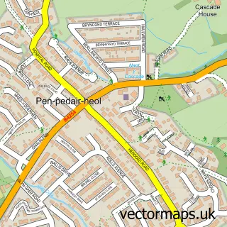
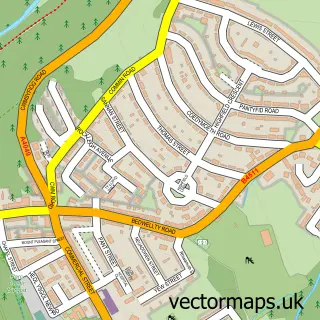
This Pengam street map is a detailed vector street map covering a 750m x 750m area. Select a larger area to create and download your own vector street map of Pengam.
The 750-metre map sample for Pengam covers 399 mapped buildings and approximately 18.1 km of road detail, of which 37 named roads are named. The immediate area includes 2 GP surgeries within 2 miles, 2 pubs and 3 MOT stations, with 23 within 2 miles. The wider area around Pengam features 4 food and drink venues. To create a larger or custom map of Pengam, the map builder lets you define your own coverage area and download editable SVG, PDF and PNG files.
Create a larger editable map of Pengam
Choose any area you need and generate a high-quality vector map instantly. Perfect for print, planning, design, business and personal use.

This Pengam street map in Gwent is available as downloadable SVG, PDF and PNG map files, or as a printed map for planning, business, display, education, local information and design work. You can also create a larger custom map area using the map selector.
What this Pengam map sample shows
Pengam lies within Pengam Community parish, part of Pengam ward in the Caerffili - Caerphilly local authority area. The postcode geography for this area includes the NP postcode area, the NP12 postcode district and the NP12 3 postcode sector. Residents fall under the Aneurin Bevan University Health Board for NHS services.
Local features near Pengam
Within 2 milesAmenities and services in and around Pengam.
Administrative and postcode information for Pengam
Pengam lies within Pengam Community parish, part of Pengam ward in the Caerffili - Caerphilly local authority area. The postcode geography for this area includes the NP postcode area, the NP12 postcode district and the NP12 3 postcode sector. Residents fall under the Aneurin Bevan University Health Board for NHS services.
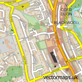
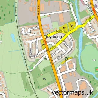
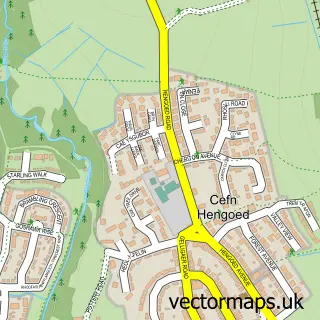
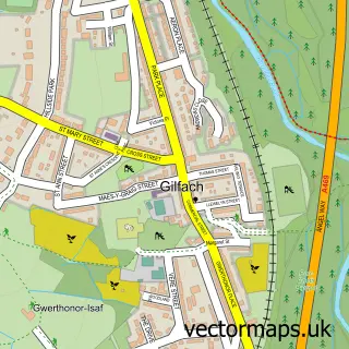
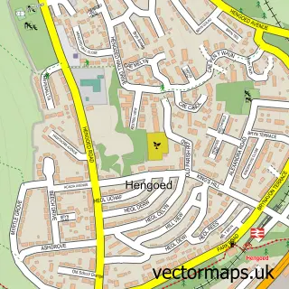
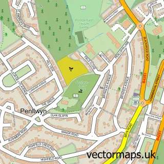
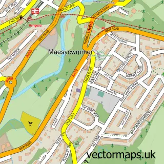
Nearby street map samples around Pengam

More street maps in Gwent
750 metre map area coverage
Boundary, postcode and point of interest information for the 750m x 750m rectangle centred on this sample map.
Boundaries containing map centre
Constituency: Caerphilly Co Const
District: Caerffili - Caerphilly
Icb: Aneurin Bevan University
Parish: Pengam Community
Police Force: gwent
Postcode District: NP12
Postcode Sector: NP12 3
Nearby boundaries intersecting sample
Constituency: Newport West and Islwyn Co Const
Parish: Cefn Fforest Community
Postcode Sector: NP12 1
Postcode coverage
POI category counts
Automotive Repair: 6
Building Supply Store: 5
Convenience Store: 4
Hardware Store: 4
Business Management Services: 3
Gas Station: 3
Advertising Agency: 2
Bakery: 2
Clothing Store: 2
Contractor: 2
Sample points of interest
- EGNI Ninja Activity Centre
- Mamba Marketing
- SSD Patnership
- Galen Herbal Supplies
- PayPoint
- Dragon Fabrications
- DIRT Wheelz UK
- Miracle van hire
- A J Stevens & Sons
- Alans M O T
- Carflex
- LH Tyres Service and MOT Centre
Create a larger editable map of Pengam
This sample shows only a 750 metre area. To create a larger map of Pengam, use our map builder to choose your own coverage area, add titles and download editable SVG, PDF and PNG files.
Create a custom map of Pengam