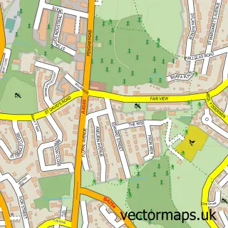
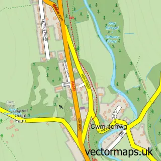
This Blackwood street map is a detailed vector street map covering a 750m x 750m area. Select a larger area to create and download your own vector street map of Blackwood.
The 750-metre map sample for Blackwood covers 488 mapped buildings and approximately 20.8 km of road detail, of which 44 named roads are named. The immediate area includes 1 school, 1 GP surgery within 2 miles, 7 pubs and 23 MOT stations within 2 miles. The wider area around Blackwood features 2 tourism points of interest, 18 food and drink venues and 1 hotel. To create a larger or custom map of Blackwood, the map builder lets you define your own coverage area and download editable SVG, PDF and PNG files.
Create a larger editable map of Blackwood
Choose any area you need and generate a high-quality vector map instantly. Perfect for print, planning, design, business and personal use.

This Blackwood street map in Gwent is available as downloadable SVG, PDF and PNG map files, or as a printed map for planning, business, display, education, local information and design work. You can also create a larger custom map area using the map selector.
What this Blackwood map sample shows
Blackwood lies within Blackwood Community parish, part of Blackwood ward in the Caerffili - Caerphilly local authority area. The postcode geography for this area includes the NP postcode area, the NP12 postcode district and the NP12 1 postcode sector. Residents fall under the Aneurin Bevan University Health Board for NHS services.
Local features near Blackwood
Within 2 milesAmenities and services in and around Blackwood.
Administrative and postcode information for Blackwood
The local authority covering Blackwood is Caerffili - Caerphilly, within the county of Gwent. The settlement lies within Blackwood ward and Blackwood Community civil parish. The NP12 postcode district and NP12 1 postcode sector serve the immediate area. NHS provision in the area is delivered through Aneurin Bevan University Health Board.
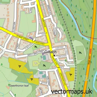
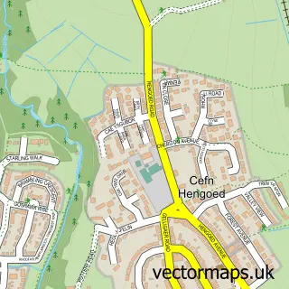
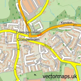
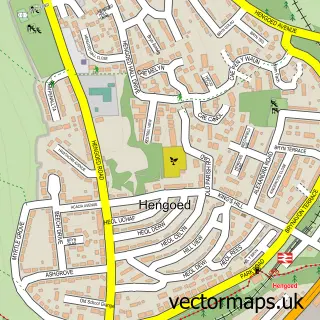
Nearby street map samples around Blackwood

More street maps in Gwent
750 metre map area coverage
Boundary, postcode and point of interest information for the 750m x 750m rectangle centred on this sample map.
Boundaries containing map centre
Constituency: Newport West and Islwyn Co Const
District: Caerffili - Caerphilly
Icb: Aneurin Bevan University
Parish: Blackwood Community
Police Force: gwent
Postcode District: NP12
Postcode Sector: NP12 1
Nearby boundaries intersecting sample
Parish: Penmaen Community
Postcode Sector: NP12 0
Postcode coverage
POI category counts
Barber: 11
Beauty Salon: 11
Hair Salon: 10
Cafe: 8
Clothing Store: 8
Mobile Phone Store: 8
Charity Organization: 7
Legal Services: 7
Pub: 7
Bank Credit Union: 6
Sample points of interest
- Clarity Copiers
- Blackwood Stars RFC
- Cashino
- Unique Antiques
- Blackwood Appliances Ltd
- Jackpots Amusements
- Sun Valley Amusements
- Blackwood
- Cash machine 145 High Street
- Cashpoint® 112 High Street
- PayPoint
- Clearwater Financial Solutions
Create a larger editable map of Blackwood
This sample shows only a 750 metre area. To create a larger map of Blackwood, use our map builder to choose your own coverage area, add titles and download editable SVG, PDF and PNG files.
Create a custom map of Blackwood