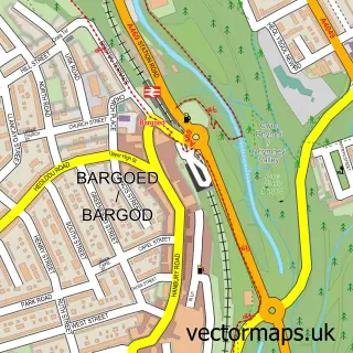
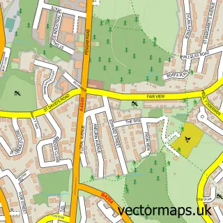
This Argoed street map is a detailed vector street map covering a 750m x 750m area. Select a larger area to create and download your own vector street map of Argoed.
The 750-metre map sample for Argoed covers 132 mapped buildings and approximately 31.5 km of road detail, of which 10 named roads are named. The immediate area includes 2 GP surgeries within 2 miles and 1 MOT station, with 11 within 2 miles. The wider area around Argoed features 1 hotel. To create a larger or custom map of Argoed, the map builder lets you define your own coverage area and download editable SVG, PDF and PNG files.
Create a larger editable map of Argoed
Choose any area you need and generate a high-quality vector map instantly. Perfect for print, planning, design, business and personal use.

This Argoed street map in Gwent is available as downloadable SVG, PDF and PNG map files, or as a printed map for planning, business, display, education, local information and design work. You can also create a larger custom map area using the map selector.
What this Argoed map sample shows
Argoed lies within Argoed Community parish, part of Argoed ward in the Caerffili - Caerphilly local authority area. The postcode geography for this area includes the NP postcode area, the NP12 postcode district and the NP12 0 postcode sector. Residents fall under the Aneurin Bevan University Health Board for NHS services.
Local features near Argoed
Within 2 milesAmenities and services in and around Argoed.
Administrative and postcode information for Argoed
The local authority covering Argoed is Caerffili - Caerphilly, within the county of Gwent. The settlement lies within Argoed ward and Argoed Community civil parish. The NP12 postcode district and NP12 0 postcode sector serve the immediate area. NHS provision in the area is delivered through Aneurin Bevan University Health Board.
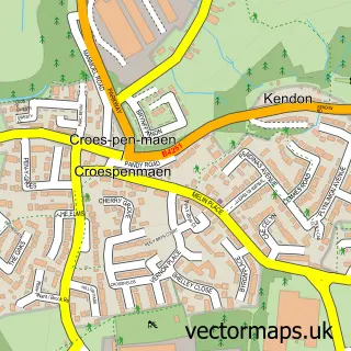
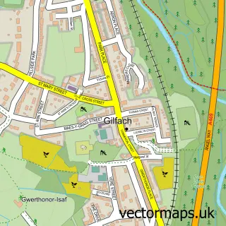
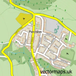
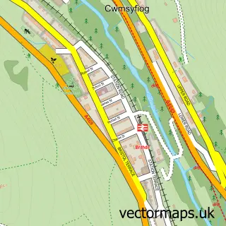
Nearby street map samples around Argoed

More street maps in Gwent
750 metre map area coverage
Boundary, postcode and point of interest information for the 750m x 750m rectangle centred on this sample map.
Boundaries containing map centre
Constituency: Newport West and Islwyn Co Const
District: Caerffili - Caerphilly
Icb: Aneurin Bevan University
Parish: Argoed Community
Police Force: gwent
Postcode District: NP12
Postcode Sector: NP12 0
Nearby boundaries intersecting sample
No additional intersecting boundaries found.
Postcode coverage
POI category counts
Alternative Medicine: 1
Automotive: 1
Automotive Repair: 1
Baptist Church: 1
Community Center: 1
Dog Park: 1
Gardener: 1
Hotel: 1
Retail: 1
Social Service Organizations: 1
Sample points of interest
- Herbalife
- LF Vehicle Maintenance
- Argoed Autos
- Argoed Baptist Church
- Argoed Village Hall
- Tails of Blackwoof
- Four Seasons Landscapes
- The Retreat Argoed
- Fulton Studios
- Argoed Reform Club
- Argoed railway station
Create a larger editable map of Argoed
This sample shows only a 750 metre area. To create a larger map of Argoed, use our map builder to choose your own coverage area, add titles and download editable SVG, PDF and PNG files.
Create a custom map of Argoed