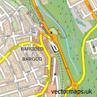
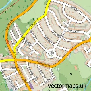
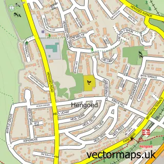
This Gilfach street map is a detailed vector street map covering a 750m x 750m area. Select a larger area to create and download your own vector street map of Gilfach.
The 750-metre map sample for Gilfach covers 303 mapped buildings and approximately 14.2 km of road detail, of which 30 named roads are named. The immediate area includes 3 schools, 1 GP surgery within 2 miles and 22 MOT stations within 2 miles. The wider area around Gilfach features 1 food and drink venue and 1 hotel. To create a larger or custom map of Gilfach, the map builder lets you define your own coverage area and download editable SVG, PDF and PNG files.
Create a larger editable map of Gilfach
Choose any area you need and generate a high-quality vector map instantly. Perfect for print, planning, design, business and personal use.

This Gilfach street map in Gwent is available as downloadable SVG, PDF and PNG map files, or as a printed map for planning, business, display, education, local information and design work. You can also create a larger custom map area using the map selector.
What this Gilfach map sample shows
Gilfach lies within Bargoed Community parish, part of Bargoed ward in the Caerffili - Caerphilly local authority area. The postcode geography for this area includes the CF postcode area, the CF81 postcode district and the CF81 8 postcode sector. Residents fall under the Aneurin Bevan University Health Board for NHS services.
Local features near Gilfach
Within 2 milesAmenities and services in and around Gilfach.
Administrative and postcode information for Gilfach
The local authority covering Gilfach is Caerffili - Caerphilly, within the county of Gwent. The settlement lies within Bargoed ward and Bargoed Community civil parish. The CF81 postcode district and CF81 8 postcode sector serve the immediate area. NHS provision in the area is delivered through Aneurin Bevan University Health Board.
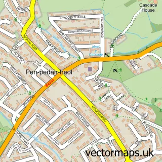
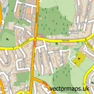
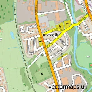
Nearby street map samples around Gilfach

More street maps in Gwent
750 metre map area coverage
Boundary, postcode and point of interest information for the 750m x 750m rectangle centred on this sample map.
Boundaries containing map centre
Constituency: Blaenau Gwent and Rhymney Co Const
District: Caerffili - Caerphilly
Icb: Aneurin Bevan University
Parish: Bargoed Community
Police Force: gwent
Postcode District: CF81
Postcode Sector: CF81 8
Nearby boundaries intersecting sample
Postcode District: NP12
Postcode Sector: CF81 9, NP12 3
Postcode coverage
POI category counts
Convenience Store: 4
Gas Station: 3
Professional Services: 3
Community Services Non Profits: 2
Elementary School: 2
Airport Shuttles: 1
Atms: 1
Barber: 1
Beauty And Spa: 1
Butcher Shop: 1
Sample points of interest
- Banwell Mini Buses
- PayPoint
- MH Barbering Gilfach
- Eklipz
- Gilfach Quality Meats
- Gilfach Super Hand Car Wash
- Linda Williams
- Lung Wah
- Costa Express
- Caerphilly People First
- Parent Network
- Best-one
Create a larger editable map of Gilfach
This sample shows only a 750 metre area. To create a larger map of Gilfach, use our map builder to choose your own coverage area, add titles and download editable SVG, PDF and PNG files.
Create a custom map of Gilfach