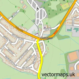
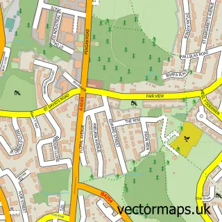
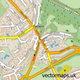
This Pen-pedair-heol street map is a detailed vector street map covering a 750m x 750m area. Select a larger area to create and download your own vector street map of Pen-pedair-heol.
The 750-metre map sample for Pen-pedair-heol covers 626 mapped buildings and approximately 20.2 km of road detail, of which 46 named roads are named. The immediate area includes 1 GP surgery within 2 miles, 1 pub and 2 MOT stations, with 21 within 2 miles. The wider area around Pen-pedair-heol features 1 food and drink venue. To create a larger or custom map of Pen-pedair-heol, the map builder lets you define your own coverage area and download editable SVG, PDF and PNG files.
Create a larger editable map of Pen-pedair-heol
Choose any area you need and generate a high-quality vector map instantly. Perfect for print, planning, design, business and personal use.

This Pen-pedair-heol street map in Gwent is available as downloadable SVG, PDF and PNG map files, or as a printed map for planning, business, display, education, local information and design work. You can also create a larger custom map area using the map selector.
What this Pen-pedair-heol map sample shows
Pen-pedair-heol lies within Gelligaer Community parish, part of St. Cattwg ward in the Caerffili - Caerphilly local authority area. The postcode geography for this area includes the CF postcode area, the CF82 postcode district and the CF82 8 postcode sector. Residents fall under the Aneurin Bevan University Health Board for NHS services.
Local features near Pen-pedair-heol
Within 2 milesAmenities and services in and around Pen-pedair-heol.
Administrative and postcode information for Pen-pedair-heol
The local authority covering Pen-pedair-heol is Caerffili - Caerphilly, within the county of Gwent. The settlement lies within St. Cattwg ward and Gelligaer Community civil parish. The CF82 postcode district and CF82 8 postcode sector serve the immediate area. NHS provision in the area is delivered through Aneurin Bevan University Health Board.
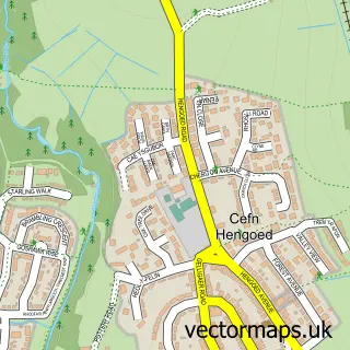
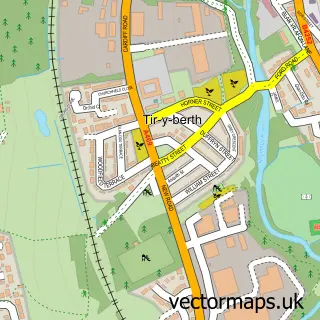
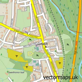
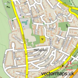
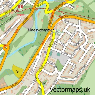
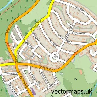
Nearby street map samples around Pen-pedair-heol

More street maps in Gwent
750 metre map area coverage
Boundary, postcode and point of interest information for the 750m x 750m rectangle centred on this sample map.
Boundaries containing map centre
Constituency: Caerphilly Co Const
District: Caerffili - Caerphilly
Icb: Aneurin Bevan University
Parish: Gelligaer Community
Police Force: gwent
Postcode District: CF82
Postcode Sector: CF82 8
Nearby boundaries intersecting sample
Postcode Sector: CF82 7
Postcode coverage
POI category counts
Automotive Repair: 2
Accountant: 1
Assisted Living Facility: 1
Bar: 1
Beauty Product Supplier: 1
Building Contractor: 1
Building Supply Store: 1
Butcher Shop: 1
Car Dealer: 1
Community Center: 1
Sample points of interest
- D Thomas Accountant
- Kellis
- Autocare
- Miles Auto Repairs
- Beech Grove
- Creations
- Engwell Building Services
- AME Electrical
- Morgan Thomas Butchers
- Welsh Auto Mall
- Cascade Community Centre
- Amaya Construction
Create a larger editable map of Pen-pedair-heol
This sample shows only a 750 metre area. To create a larger map of Pen-pedair-heol, use our map builder to choose your own coverage area, add titles and download editable SVG, PDF and PNG files.
Create a custom map of Pen-pedair-heol