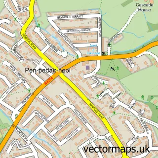
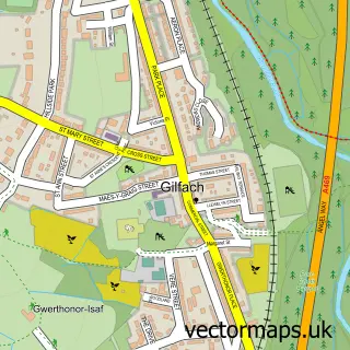
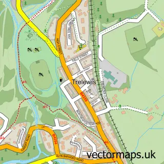
This Gelligaer street map is a detailed vector street map covering a 750m x 750m area. Select a larger area to create and download your own vector street map of Gelligaer.
The 750-metre map sample for Gelligaer covers 288 mapped buildings and approximately 11.8 km of road detail, of which 18 named roads are named. The immediate area includes 1 school, 1 GP surgery within 2 miles, 1 pub and 22 MOT stations within 2 miles. The wider area around Gelligaer features 1 food and drink venue. To create a larger or custom map of Gelligaer, the map builder lets you define your own coverage area and download editable SVG, PDF and PNG files.
Create a larger editable map of Gelligaer
Choose any area you need and generate a high-quality vector map instantly. Perfect for print, planning, design, business and personal use.

This Gelligaer street map in Gwent is available as downloadable SVG, PDF and PNG map files, or as a printed map for planning, business, display, education, local information and design work. You can also create a larger custom map area using the map selector.
What this Gelligaer map sample shows
Gelligaer lies within Gelligaer Community parish, part of St. Cattwg ward in the Caerffili - Caerphilly local authority area. The postcode geography for this area includes the CF postcode area, the CF82 postcode district and the CF82 8 postcode sector. Residents fall under the Aneurin Bevan University Health Board for NHS services.
Local features near Gelligaer
Within 2 milesAmenities and services in and around Gelligaer.
Administrative and postcode information for Gelligaer
Gelligaer lies within Gelligaer Community parish, part of St. Cattwg ward in the Caerffili - Caerphilly local authority area. The postcode geography for this area includes the CF postcode area, the CF82 postcode district and the CF82 8 postcode sector. Residents fall under the Aneurin Bevan University Health Board for NHS services.
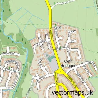
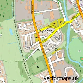
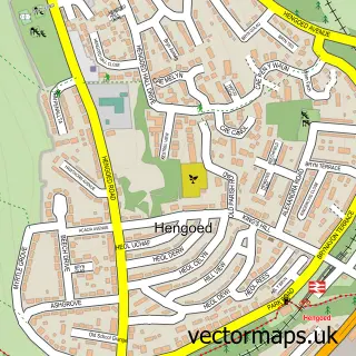
Nearby street map samples around Gelligaer

More street maps in Gwent
750 metre map area coverage
Boundary, postcode and point of interest information for the 750m x 750m rectangle centred on this sample map.
Boundaries containing map centre
Constituency: Caerphilly Co Const
District: Caerffili - Caerphilly
Icb: Aneurin Bevan University
Parish: Gelligaer Community
Police Force: gwent
Postcode District: CF82
Postcode Sector: CF82 8
Nearby boundaries intersecting sample
Postcode Sector: CF82 7
Postcode coverage
POI category counts
Automotive Repair: 2
Church Cathedral: 2
Convenience Store: 2
Pharmacy: 2
Professional Services: 2
Bakery: 1
Barber: 1
Boxing Class: 1
Carpenter: 1
Electronics: 1
Sample points of interest
- ILR Mobile Valeting
- Sld Auto Repairs
- Haleys Bakes & Cakes
- Razors Barbers
- Gelligaer ABC - Official
- Carpenter
- Mount Zion Full Gospel Mission. Gelligaer
- St Catwg's Church
- McColl's
- Morrisons Daily
- Dripping Mad Vapes
- Gelligaer Fish Bar
Create a larger editable map of Gelligaer
This sample shows only a 750 metre area. To create a larger map of Gelligaer, use our map builder to choose your own coverage area, add titles and download editable SVG, PDF and PNG files.
Create a custom map of Gelligaer