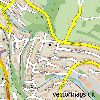
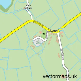
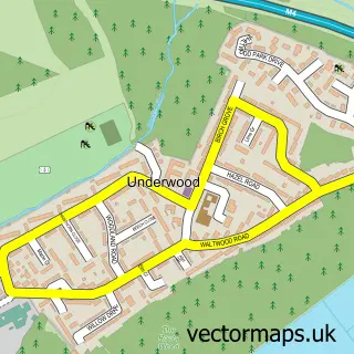
This Newport street map is a detailed vector street map covering a 750m x 750m area. Select a larger area to create and download your own vector street map of Newport.
The 750-metre map sample for Newport covers 182 mapped buildings and approximately 24.3 km of road detail, of which 58 named roads are named. The immediate area includes 2 schools, 1 railway station, 1 GP surgery within 2 miles and 24 pubs among other local services. The wider area around Newport features 12 tourism points of interest, 75 food and drink venues and 10 hotels. To create a larger or custom map of Newport, the map builder lets you define your own coverage area and download editable SVG, PDF and PNG files.
Create a larger editable map of Newport
Choose any area you need and generate a high-quality vector map instantly. Perfect for print, planning, design, business and personal use.

This Newport street map in Gwent is available as downloadable SVG, PDF and PNG map files, or as a printed map for planning, business, display, education, local information and design work. You can also create a larger custom map area using the map selector.
What this Newport map sample shows
Newport lies within Pillgwenlly Community parish, part of Pillgwenlly ward in the Casnewydd - Newport local authority area. The postcode geography for this area includes the NP postcode area, the NP20 postcode district and the NP20 2 postcode sector. Residents fall under the Aneurin Bevan University Health Board for NHS services.
Local features near Newport
Within 2 milesAmenities and services in and around Newport.
Administrative and postcode information for Newport
The local authority covering Newport is Casnewydd - Newport, within the county of Gwent. The settlement lies within Pillgwenlly ward and Pillgwenlly Community civil parish. The NP20 postcode district and NP20 2 postcode sector serve the immediate area. NHS provision in the area is delivered through Aneurin Bevan University Health Board.
Nearby street map samples around Newport
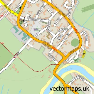
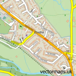
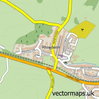
More street maps in Gwent
750 metre map area coverage
Boundary, postcode and point of interest information for the 750m x 750m rectangle centred on this sample map.
Boundaries containing map centre
Constituency: Newport East Co Const
District: Casnewydd - Newport
Icb: Aneurin Bevan University
Parish: Stow Hill Community
Police Force: gwent
Postcode District: NP20
Postcode Sector: NP20 1
Nearby boundaries intersecting sample
Constituency: Newport West and Islwyn Co Const
Parish: Allt-yr-Yn Community, Shaftesbury Community, St. Julians Community, Victoria Community
Postcode District: NP19
Postcode Sector: NP19 0, NP19 7, NP20 4, NP20 5
Postcode coverage
POI category counts
Pub: 24
Clothing Store: 21
Hair Salon: 20
Bar: 18
Cafe: 18
Coffee Shop: 18
Professional Services: 18
Employment Agencies: 17
Real Estate Agent: 16
Bank Credit Union: 15
Sample points of interest
- AIMS Accountants for Business
- Azets
- Broomfield & Alexander
- Walter Hunter
- Chen's Acupuncture Clinic
- Charles Street Community Learning Centre
- Octopod
- Parade Design
- Herbmedic
- TGI Fridays
- The Dirty Food Company
- Carousel Amusements
Create a larger editable map of Newport
This sample shows only a 750 metre area. To create a larger map of Newport, use our map builder to choose your own coverage area, add titles and download editable SVG, PDF and PNG files.
Create a custom map of Newport