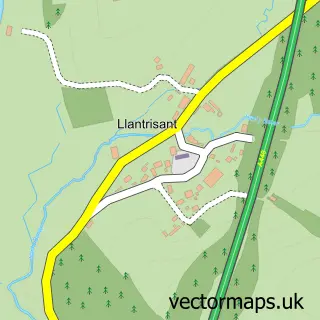
This Ponthir street map is a detailed vector street map covering a 750m x 750m area. Select a larger area to create and download your own vector street map of Ponthir.
The 750-metre map sample for Ponthir covers 412 mapped buildings and approximately 17.3 km of road detail, of which 20 named roads are named. The immediate area includes 1 GP surgery, with 2 within 2 miles, 2 pubs and 5 MOT stations within 2 miles. The wider area around Ponthir features 3 food and drink venues. To create a larger or custom map of Ponthir, the map builder lets you define your own coverage area and download editable SVG, PDF and PNG files.
Create a larger editable map of Ponthir
Choose any area you need and generate a high-quality vector map instantly. Perfect for print, planning, design, business and personal use.

This Ponthir street map in Gwent is available as downloadable SVG, PDF and PNG map files, or as a printed map for planning, business, display, education, local information and design work. You can also create a larger custom map area using the map selector.
What this Ponthir map sample shows
Ponthir lies within Ponthir Community parish, part of Llanyrafon East And Ponthir ward in the Torfaen - Torfaen local authority area. The postcode geography for this area includes the NP postcode area, the NP18 postcode district and the NP18 1 postcode sector. Residents fall under the Aneurin Bevan University Health Board for NHS services.
Local features near Ponthir
Within 2 milesAmenities and services in and around Ponthir.
Administrative and postcode information for Ponthir
Ponthir lies within Ponthir Community parish, part of Llanyrafon East And Ponthir ward in the Torfaen - Torfaen local authority area. The postcode geography for this area includes the NP postcode area, the NP18 postcode district and the NP18 1 postcode sector. Residents fall under the Aneurin Bevan University Health Board for NHS services.
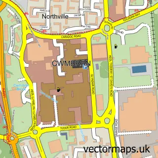
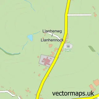
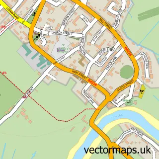
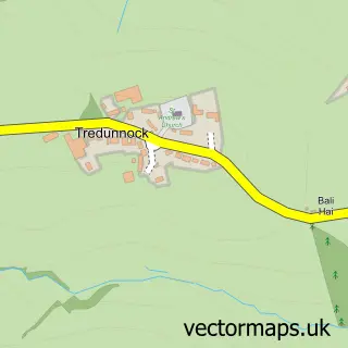
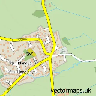
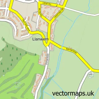
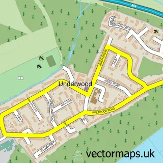
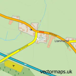
Nearby street map samples around Ponthir

More street maps in Gwent
750 metre map area coverage
Boundary, postcode and point of interest information for the 750m x 750m rectangle centred on this sample map.
Boundaries containing map centre
Constituency: Torfaen Co Const
District: Torfaen - Torfaen
Icb: Aneurin Bevan University
Parish: Ponthir Community
Police Force: gwent
Postcode District: NP18
Postcode Sector: NP18 1
Nearby boundaries intersecting sample
Constituency: Monmouthshire Co Const, Newport East Co Const
District: Casnewydd - Newport, Sir Fynwy - Monmouthshire
Parish: Caerleon Community, Llangybi Community, Llantarnam Community
Postcode District: NP44
Postcode Sector: NP18 3, NP44 3
Postcode coverage
POI category counts
Gym: 2
Pub: 2
Auto Electrical Repair: 1
Beverage Supplier: 1
Building Supply Store: 1
Business Consulting: 1
Church Cathedral: 1
Coffee Shop: 1
Community Center: 1
Dentist: 1
Sample points of interest
- Energized Solutions
- Bella's Catering Services
- Spencers of Newport
- 2K Business Services
- Zion Baptist Church
- The Pad
- Ponthir Village Hall
- Restore Dental Group
- Helen O'Grady Drama Academy
- Ponthir Church in Wales School
- Candwr Brook Medical Centre
- Optimize Personal Training
Create a larger editable map of Ponthir
This sample shows only a 750 metre area. To create a larger map of Ponthir, use our map builder to choose your own coverage area, add titles and download editable SVG, PDF and PNG files.
Create a custom map of Ponthir