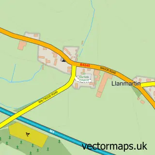
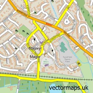
This Underwood street map is a detailed vector street map covering a 750m x 750m area. Select a larger area to create and download your own vector street map of Underwood.
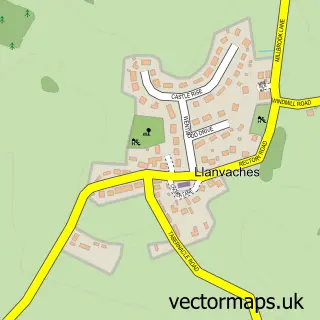
The 750-metre map sample for Underwood covers 247 mapped buildings and approximately 10.7 km of road detail, of which 13 named roads are named. The immediate area includes 1 school, 1 pub and 1 MOT station within 2 miles. The wider area around Underwood features 1 tourism point of interest and 1 food and drink venue. To create a larger or custom map of Underwood, the map builder lets you define your own coverage area and download editable SVG, PDF and PNG files.
Create a larger editable map of Underwood
Choose any area you need and generate a high-quality vector map instantly. Perfect for print, planning, design, business and personal use.

This Underwood street map in Gwent is available as downloadable SVG, PDF and PNG map files, or as a printed map for planning, business, display, education, local information and design work. You can also create a larger custom map area using the map selector.
What this Underwood map sample shows
Underwood lies within Bishton Community parish, part of Llanwern ward in the Casnewydd - Newport local authority area. The postcode geography for this area includes the NP postcode area, the NP18 postcode district and the NP18 2 postcode sector. Residents fall under the Aneurin Bevan University Health Board for NHS services.
Local features near Underwood
Within 2 milesAmenities and services in and around Underwood.
Administrative and postcode information for Underwood
The local authority covering Underwood is Casnewydd - Newport, within the county of Gwent. The settlement lies within Llanwern ward and Bishton Community civil parish. The NP18 postcode district and NP18 2 postcode sector serve the immediate area. NHS provision in the area is delivered through Aneurin Bevan University Health Board.
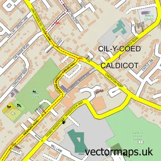
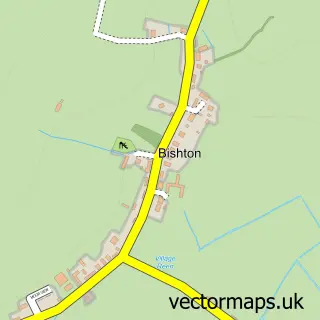
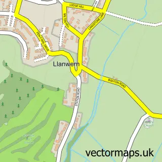
Nearby street map samples around Underwood

More street maps in Gwent
750 metre map area coverage
Boundary, postcode and point of interest information for the 750m x 750m rectangle centred on this sample map.
Boundaries containing map centre
Constituency: Newport East Co Const
District: Casnewydd - Newport
Icb: Aneurin Bevan University
Parish: Bishton Community
Police Force: gwent
Postcode District: NP18
Postcode Sector: NP18 2
Nearby boundaries intersecting sample
Parish: Langstone Community
Postcode coverage
POI category counts
Beauty Salon: 2
Community Center: 2
Convenience Store: 2
Professional Services: 2
Asian Fusion Restaurant: 1
Atms: 1
Automotive Parts And Accessories: 1
Building Contractor: 1
Currency Exchange: 1
Elementary School: 1
Sample points of interest
- Llanmartin Indian And Kebab
- BR Spar Llanmartin , Underwood
- Phillifts Garage Equipment Services
- AK Hair 'n' Beauty
- The Beauty Salon
- Ronshine Window Cleaning
- Underwood Community Centre
- Underwood Community Centre
- Premier Premier Birchgrove
- SPAR Llanmartin
- Post Office Travel Money
- Llanmartin Primary School
Create a larger editable map of Underwood
This sample shows only a 750 metre area. To create a larger map of Underwood, use our map builder to choose your own coverage area, add titles and download editable SVG, PDF and PNG files.
Create a custom map of Underwood