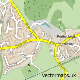
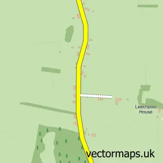
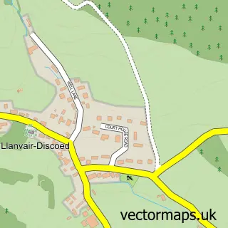
This Caldicot street map is a detailed vector street map covering a 750m x 750m area. Select a larger area to create and download your own vector street map of Caldicot.
The 750-metre map sample for Caldicot covers 443 mapped buildings and approximately 16.4 km of road detail, of which 32 named roads are named. The immediate area includes 1 school, 1 GP surgery within 2 miles, 6 pubs and 6 MOT stations within 2 miles. The wider area around Caldicot features 1 tourism point of interest and 13 food and drink venues. To create a larger or custom map of Caldicot, the map builder lets you define your own coverage area and download editable SVG, PDF and PNG files.
Create a larger editable map of Caldicot
Choose any area you need and generate a high-quality vector map instantly. Perfect for print, planning, design, business and personal use.

This Caldicot street map in Gwent is available as downloadable SVG, PDF and PNG map files, or as a printed map for planning, business, display, education, local information and design work. You can also create a larger custom map area using the map selector.
What this Caldicot map sample shows
Caldicot lies within Caldicot Community parish, part of Portskewett ward in the Sir Fynwy - Monmouthshire local authority area. The postcode geography for this area includes the NP postcode area, the NP26 postcode district and the NP26 5 postcode sector. Residents fall under the Aneurin Bevan University Health Board for NHS services.
Local features near Caldicot
Within 2 milesAmenities and services in and around Caldicot.
Administrative and postcode information for Caldicot
The local authority covering Caldicot is Sir Fynwy - Monmouthshire, within the county of Gwent. The settlement lies within Portskewett ward and Caldicot Community civil parish. The NP26 postcode district and NP26 5 postcode sector serve the immediate area. NHS provision in the area is delivered through Aneurin Bevan University Health Board.
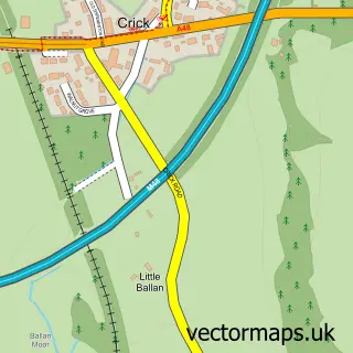
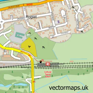
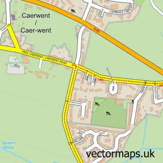
Nearby street map samples around Caldicot

More street maps in Gwent
750 metre map area coverage
Boundary, postcode and point of interest information for the 750m x 750m rectangle centred on this sample map.
Boundaries containing map centre
Constituency: Monmouthshire Co Const
District: Sir Fynwy - Monmouthshire
Icb: Aneurin Bevan University
Parish: Caldicot Community
Police Force: gwent
Postcode District: NP26
Postcode Sector: NP26 4
Nearby boundaries intersecting sample
Postcode Sector: NP26 5
Postcode coverage
POI category counts
Beauty Salon: 8
Hair Salon: 8
Pub: 6
Restaurant: 5
Supermarket: 5
Tattoo And Piercing: 4
Bakery: 3
Banks: 3
Church Cathedral: 3
Community Services Non Profits: 3
Sample points of interest
- Cherry Tree Nursing Home
- Monmouthshire Respite Service
- Home & Car DIY
- Greggs
- Greggs
- The Baguette Shop
- Barclays Bank - Caldicot
- Lloyds Bank
- Banking Hub
- Barclays
- Halifax Estate Agents
- Classic Barber
Create a larger editable map of Caldicot
This sample shows only a 750 metre area. To create a larger map of Caldicot, use our map builder to choose your own coverage area, add titles and download editable SVG, PDF and PNG files.
Create a custom map of Caldicot