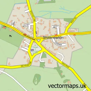
This Caerwent street map is a detailed vector street map covering a 750m x 750m area. Select a larger area to create and download your own vector street map of Caerwent.
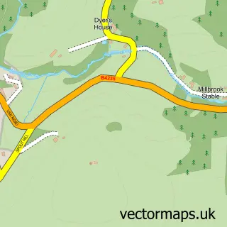
The 750-metre map sample for Caerwent covers 234 mapped buildings and approximately 11.6 km of road detail, of which 19 named roads are named. The immediate area includes 1 pub and 1 MOT station, with 4 within 2 miles. The wider area around Caerwent features 1 tourism point of interest and 1 food and drink venue. To create a larger or custom map of Caerwent, the map builder lets you define your own coverage area and download editable SVG, PDF and PNG files.
Create a larger editable map of Caerwent
Choose any area you need and generate a high-quality vector map instantly. Perfect for print, planning, design, business and personal use.

This Caerwent street map in Gwent is available as downloadable SVG, PDF and PNG map files, or as a printed map for planning, business, display, education, local information and design work. You can also create a larger custom map area using the map selector.
What this Caerwent map sample shows
Caerwent lies within Caerwent Community parish, part of Caerwent ward in the Sir Fynwy - Monmouthshire local authority area. The postcode geography for this area includes the NP postcode area, the NP26 postcode district and the NP26 5 postcode sector. Residents fall under the Aneurin Bevan University Health Board for NHS services.
Local features near Caerwent
Within 2 milesAmenities and services in and around Caerwent.
Administrative and postcode information for Caerwent
Caerwent lies within Caerwent Community parish, part of Caerwent ward in the Sir Fynwy - Monmouthshire local authority area. The postcode geography for this area includes the NP postcode area, the NP26 postcode district and the NP26 5 postcode sector. Residents fall under the Aneurin Bevan University Health Board for NHS services.
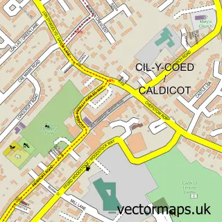
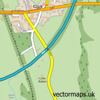
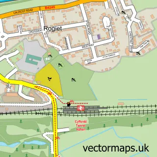
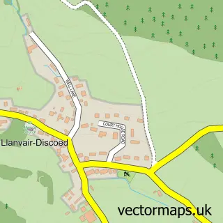
Nearby street map samples around Caerwent

More street maps in Gwent
750 metre map area coverage
Boundary, postcode and point of interest information for the 750m x 750m rectangle centred on this sample map.
Boundaries containing map centre
Constituency: Monmouthshire Co Const
District: Sir Fynwy - Monmouthshire
Icb: Aneurin Bevan University
Parish: Caerwent Community
Police Force: gwent
Postcode District: NP26
Postcode Sector: NP26 5
Nearby boundaries intersecting sample
Postcode Sector: NP26 4
Postcode coverage
POI category counts
Community Center: 2
Advertising Agency: 1
Church Cathedral: 1
Community Services Non Profits: 1
Inn: 1
Interior Design: 1
Park: 1
Photographer: 1
Pub: 1
Recycling Center: 1
Sample points of interest
- That Media Group
- The Church of St Stephen & St Tathan
- Caerwent Community Centre
- Caerwent Village Hall
- Caerwent Meadows
- The Coach and Horses Inn
- Highfield Interiors
- Caerwent Playing Fields
- Megan Sian Photography
- Coach And Horses Inn
- Dragon Waste
- Post Office
Create a larger editable map of Caerwent
This sample shows only a 750 metre area. To create a larger map of Caerwent, use our map builder to choose your own coverage area, add titles and download editable SVG, PDF and PNG files.
Create a custom map of Caerwent