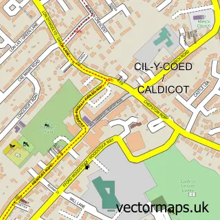
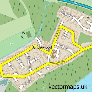
This Undy street map is a detailed vector street map covering a 750m x 750m area. Select a larger area to create and download your own vector street map of Undy.
The 750-metre map sample for Undy covers 398 mapped buildings and approximately 11.8 km of road detail, of which 32 named roads are named. The immediate area includes 1 GP surgery within 2 miles and 3 MOT stations within 2 miles. To create a larger or custom map of Undy, the map builder lets you define your own coverage area and download editable SVG, PDF and PNG files.
Create a larger editable map of Undy
Choose any area you need and generate a high-quality vector map instantly. Perfect for print, planning, design, business and personal use.

This Undy street map in Gwent is available as downloadable SVG, PDF and PNG map files, or as a printed map for planning, business, display, education, local information and design work. You can also create a larger custom map area using the map selector.
What this Undy map sample shows
Undy lies within Magor With Undy Community parish, part of The Elms ward in the Sir Fynwy - Monmouthshire local authority area. The postcode geography for this area includes the NP postcode area, the NP26 postcode district and the NP26 3 postcode sector. Residents fall under the Aneurin Bevan University Health Board for NHS services.
Local features near Undy
Within 2 milesAmenities and services in and around Undy.
Administrative and postcode information for Undy
The local authority covering Undy is Sir Fynwy - Monmouthshire, within the county of Gwent. The settlement lies within The Elms ward and Magor With Undy Community civil parish. The NP26 postcode district and NP26 3 postcode sector serve the immediate area. NHS provision in the area is delivered through Aneurin Bevan University Health Board.
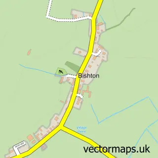
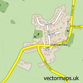
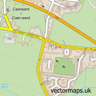
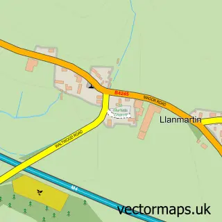
Nearby street map samples around Undy

More street maps in Gwent
750 metre map area coverage
Boundary, postcode and point of interest information for the 750m x 750m rectangle centred on this sample map.
Boundaries containing map centre
Constituency: Monmouthshire Co Const
District: Sir Fynwy - Monmouthshire
Icb: Aneurin Bevan University
Parish: Magor with Undy Community
Police Force: gwent
Postcode District: NP26
Postcode Sector: NP26 3
Nearby boundaries intersecting sample
No additional intersecting boundaries found.
Postcode coverage
POI category counts
Building Supply Store: 3
Advertising Agency: 1
Bakery: 1
Caterer: 1
Church Cathedral: 1
Day Care Preschool: 1
Driving School: 1
Engineering Services: 1
Event Planning: 1
Furniture Store: 1
Sample points of interest
- Basics Graphic Design
- Just Sweet Cakes and Bakes
- C&O Williams Kitchens & Bathrooms
- Magic Carpets
- Undy Building Supplies
- Kappuccino's
- St Mary's Church, Undy
- Alphabet Playgroup Undy
- M a Driving School
- Turner Hydraulic Group
- The Celtic Card Show
- Premium Beds
Create a larger editable map of Undy
This sample shows only a 750 metre area. To create a larger map of Undy, use our map builder to choose your own coverage area, add titles and download editable SVG, PDF and PNG files.
Create a custom map of Undy