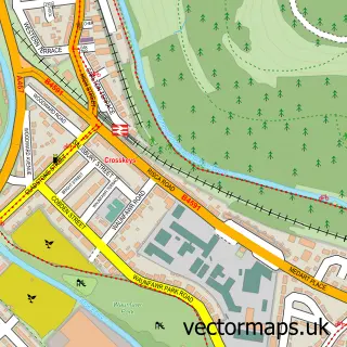
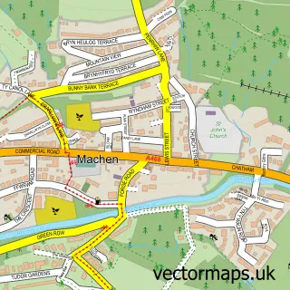
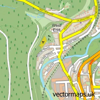
This Risca street map is a detailed vector street map covering a 750m x 750m area. Select a larger area to create and download your own vector street map of Risca.
The 750-metre map sample for Risca covers 413 mapped buildings and approximately 19.5 km of road detail, of which 36 named roads are named. The immediate area includes 2 schools, 3 pubs and 4 MOT stations within 2 miles. The wider area around Risca features 5 food and drink venues. To create a larger or custom map of Risca, the map builder lets you define your own coverage area and download editable SVG, PDF and PNG files.
Create a larger editable map of Risca
Choose any area you need and generate a high-quality vector map instantly. Perfect for print, planning, design, business and personal use.

This Risca street map in Gwent is available as downloadable SVG, PDF and PNG map files, or as a printed map for planning, business, display, education, local information and design work. You can also create a larger custom map area using the map selector.
What this Risca map sample shows
Risca lies within Risca East Community parish, part of Risca East ward in the Caerffili - Caerphilly local authority area. The postcode geography for this area includes the NP postcode area, the NP11 postcode district and the NP11 6 postcode sector. Residents fall under the Aneurin Bevan University Health Board for NHS services.
Local features near Risca
Within 2 milesAmenities and services in and around Risca.
Administrative and postcode information for Risca
The local authority covering Risca is Caerffili - Caerphilly, within the county of Gwent. The settlement lies within Risca East ward and Risca East Community civil parish. The NP11 postcode district and NP11 6 postcode sector serve the immediate area. NHS provision in the area is delivered through Aneurin Bevan University Health Board.
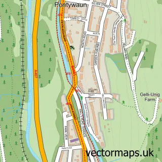
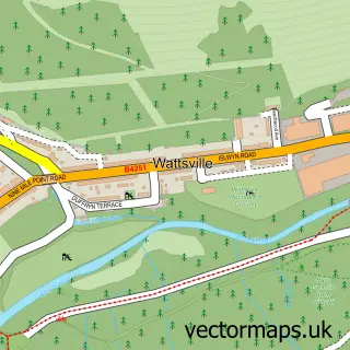
Nearby street map samples around Risca

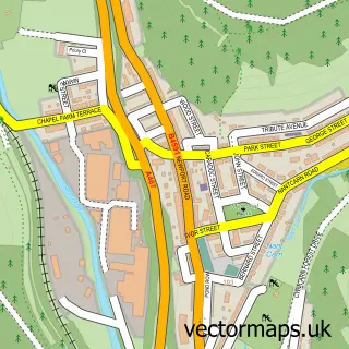
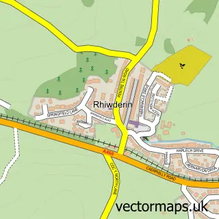
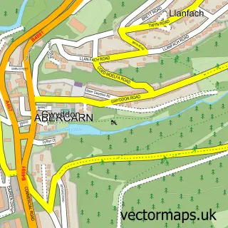
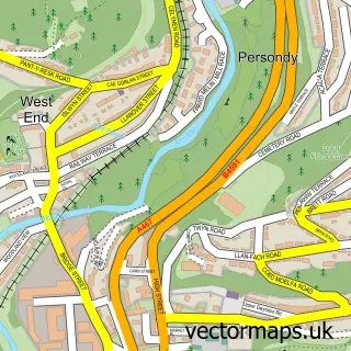
More street maps in Gwent
750 metre map area coverage
Boundary, postcode and point of interest information for the 750m x 750m rectangle centred on this sample map.
Boundaries containing map centre
Constituency: Newport West and Islwyn Co Const
District: Caerffili - Caerphilly
Icb: Aneurin Bevan University
Parish: Risca East Community
Police Force: gwent
Postcode District: NP11
Postcode Sector: NP11 6
Nearby boundaries intersecting sample
Parish: Risca West Community
Postcode coverage
POI category counts
Beauty Salon: 5
Contractor: 3
Flowers And Gifts Shop: 3
Pet Groomer: 3
Pub: 3
Alternative Medicine: 2
Coffee Shop: 2
Hair Salon: 2
Veterinarian: 2
Advertising Agency: 1
Sample points of interest
- Brewery Studios
- Beauty Spa Therapies
- In the Pink
- Powell's Art Gallery
- Santander
- Fab Cutz
- Vibrant Hair Studio
- Ohana hair and beauty
- Posy Nails
- Unreal Beauty
- Vanity Nails & Beauty
- Young Forever Clinic
Create a larger editable map of Risca
This sample shows only a 750 metre area. To create a larger map of Risca, use our map builder to choose your own coverage area, add titles and download editable SVG, PDF and PNG files.
Create a custom map of Risca