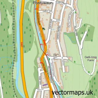
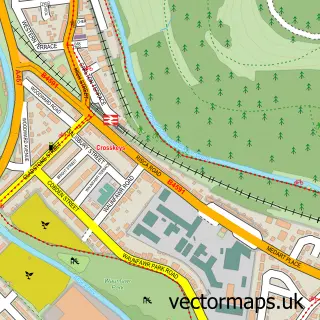
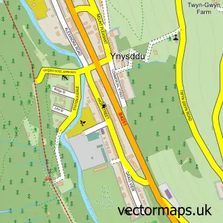
This Cwmcarn street map is a detailed vector street map covering a 750m x 750m area. Select a larger area to create and download your own vector street map of Cwmcarn.
The 750-metre map sample for Cwmcarn covers 221 mapped buildings and approximately 22.4 km of road detail, of which 18 named roads are named. The immediate area includes 1 school and 4 MOT stations within 2 miles. The wider area around Cwmcarn features 1 tourism point of interest, 1 food and drink venue and 1 campsite within 2 miles. To create a larger or custom map of Cwmcarn, the map builder lets you define your own coverage area and download editable SVG, PDF and PNG files.
Create a larger editable map of Cwmcarn
Choose any area you need and generate a high-quality vector map instantly. Perfect for print, planning, design, business and personal use.

This Cwmcarn street map in Gwent is available as downloadable SVG, PDF and PNG map files, or as a printed map for planning, business, display, education, local information and design work. You can also create a larger custom map area using the map selector.
What this Cwmcarn map sample shows
Cwmcarn lies within Abercarn Community parish, part of Abercarn ward in the Caerffili - Caerphilly local authority area. The postcode geography for this area includes the NP postcode area, the NP11 postcode district and the NP11 7 postcode sector. Residents fall under the Aneurin Bevan University Health Board for NHS services.
Local features near Cwmcarn
Within 2 milesAmenities and services in and around Cwmcarn.
Administrative and postcode information for Cwmcarn
The local authority covering Cwmcarn is Caerffili - Caerphilly, within the county of Gwent. The settlement lies within Abercarn ward and Abercarn Community civil parish. The NP11 postcode district and NP11 7 postcode sector serve the immediate area. NHS provision in the area is delivered through Aneurin Bevan University Health Board.
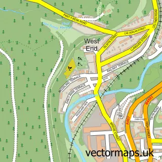
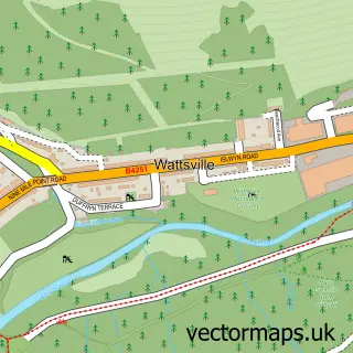
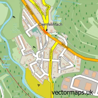
Nearby street map samples around Cwmcarn

More street maps in Gwent
750 metre map area coverage
Boundary, postcode and point of interest information for the 750m x 750m rectangle centred on this sample map.
Boundaries containing map centre
Constituency: Newport West and Islwyn Co Const
District: Caerffili - Caerphilly
Icb: Aneurin Bevan University
Parish: Abercarn Community
Police Force: gwent
Postcode District: NP11
Postcode Sector: NP11 7
Nearby boundaries intersecting sample
Parish: Crosskeys Community
Postcode Sector: NP11 5
Postcode coverage
POI category counts
Professional Services: 3
Beauty Salon: 2
Business Manufacturing And Supply: 2
Convenience Store: 2
Drugstore: 2
Music Venue: 2
Post Office: 2
Active Life: 1
Auto Customization: 1
Automotive Repair: 1
Sample points of interest
- Wicket 2 Wicket Cricket Centre
- SL Autotrimmers
- AJ Autos & M.O.T's
- Zion Baptist Church
- Cwmcarn Barbers Shop
- The Beauty Hive
- Vogue Beau-tique by Stacey
- Eco Carbon Traders Limited
- Carlton Building Solutions
- Nu-Coat
- Matthews Family Butchers
- Chat N Snack
Create a larger editable map of Cwmcarn
This sample shows only a 750 metre area. To create a larger map of Cwmcarn, use our map builder to choose your own coverage area, add titles and download editable SVG, PDF and PNG files.
Create a custom map of Cwmcarn