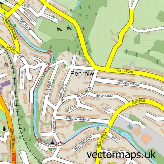
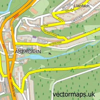
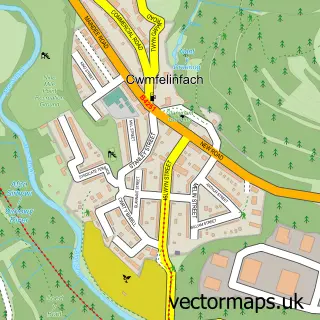
This Pont-y-waun street map is a detailed vector street map covering a 750m x 750m area. Select a larger area to create and download your own vector street map of Pont-y-waun.
The 750-metre map sample for Pont-y-waun covers 179 mapped buildings and approximately 15.0 km of road detail, of which 20 named roads are named. The immediate area includes 1 pub and 4 MOT stations within 2 miles. The wider area around Pont-y-waun features 1 tourism point of interest, 2 food and drink venues and 1 campsite within 2 miles. To create a larger or custom map of Pont-y-waun, the map builder lets you define your own coverage area and download editable SVG, PDF and PNG files.
Create a larger editable map of Pont-y-waun
Choose any area you need and generate a high-quality vector map instantly. Perfect for print, planning, design, business and personal use.

This Pont-y-waun street map in Gwent is available as downloadable SVG, PDF and PNG map files, or as a printed map for planning, business, display, education, local information and design work. You can also create a larger custom map area using the map selector.
What this Pont-y-waun map sample shows
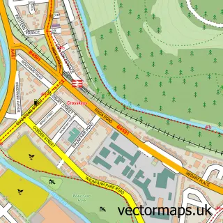
Pont-y-waun lies within Crosskeys Community parish, part of Crosskeys ward in the Caerffili - Caerphilly local authority area. The postcode geography for this area includes the NP postcode area, the NP11 postcode district and the NP11 7 postcode sector. Residents fall under the Aneurin Bevan University Health Board for NHS services.
Local features near Pont-y-waun
Within 2 milesAmenities and services in and around Pont-y-waun.
Administrative and postcode information for Pont-y-waun
The local authority covering Pont-y-waun is Caerffili - Caerphilly, within the county of Gwent. The settlement lies within Crosskeys ward and Crosskeys Community civil parish. The NP11 postcode district and NP11 7 postcode sector serve the immediate area. NHS provision in the area is delivered through Aneurin Bevan University Health Board.
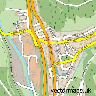
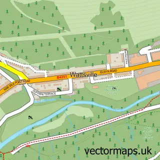
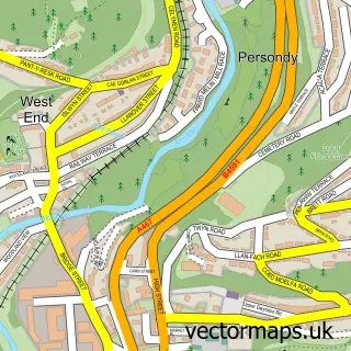
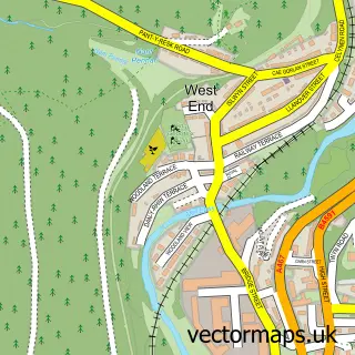
Nearby street map samples around Pont-y-waun

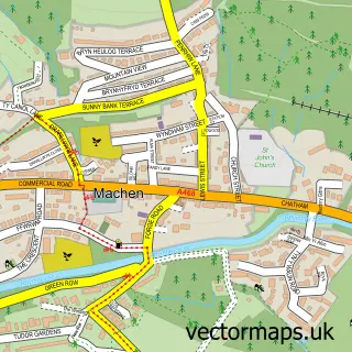
More street maps in Gwent
750 metre map area coverage
Boundary, postcode and point of interest information for the 750m x 750m rectangle centred on this sample map.
Boundaries containing map centre
Constituency: Newport West and Islwyn Co Const
District: Caerffili - Caerphilly
Icb: Aneurin Bevan University
Parish: Crosskeys Community
Police Force: gwent
Postcode District: NP11
Postcode Sector: NP11 7
Nearby boundaries intersecting sample
Parish: Abercarn Community
Postcode coverage
POI category counts
Hair Salon: 2
Professional Services: 2
Bar: 1
Beauty And Spa: 1
Beauty Salon: 1
Bed And Breakfast: 1
Church Cathedral: 1
Cleaning Services: 1
Convenience Store: 1
Electrician: 1
Sample points of interest
- The Castle Inn
- Heavenly Beauty
- DiLux Beauty
- Coed Mamgu Guest House
- Trinity Church
- AJS Commercial & Industrial Cleaners
- SD Convenience Store
- scarletts electrical
- Wheelbarrow Studios
- Bespoke
- Debonair
- Crosskeys Carpentry and Locksmiths
Create a larger editable map of Pont-y-waun
This sample shows only a 750 metre area. To create a larger map of Pont-y-waun, use our map builder to choose your own coverage area, add titles and download editable SVG, PDF and PNG files.
Create a custom map of Pont-y-waun