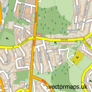
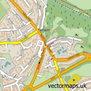
This Cefn Hengoed street map is a detailed vector street map covering a 750m x 750m area. Select a larger area to create and download your own vector street map of Cefn Hengoed.
The 750-metre map sample for Cefn Hengoed covers 470 mapped buildings and approximately 13.1 km of road detail, of which 28 named roads are named. The immediate area includes 1 school, 1 GP surgery within 2 miles and 1 MOT station, with 24 within 2 miles. To create a larger or custom map of Cefn Hengoed, the map builder lets you define your own coverage area and download editable SVG, PDF and PNG files.
Create a larger editable map of Cefn Hengoed
Choose any area you need and generate a high-quality vector map instantly. Perfect for print, planning, design, business and personal use.

This Cefn Hengoed street map in Gwent is available as downloadable SVG, PDF and PNG map files, or as a printed map for planning, business, display, education, local information and design work. You can also create a larger custom map area using the map selector.
What this Cefn Hengoed map sample shows
Cefn Hengoed lies within Gelligaer Community parish, part of Hengoed ward in the Caerffili - Caerphilly local authority area. The postcode geography for this area includes the CF postcode area, the CF82 postcode district and the CF82 7 postcode sector. Residents fall under the Aneurin Bevan University Health Board for NHS services.
Local features near Cefn Hengoed
Within 2 milesAmenities and services in and around Cefn Hengoed.
Administrative and postcode information for Cefn Hengoed
The local authority covering Cefn Hengoed is Caerffili - Caerphilly, within the county of Gwent. The settlement lies within Hengoed ward and Gelligaer Community civil parish. The CF82 postcode district and CF82 7 postcode sector serve the immediate area. NHS provision in the area is delivered through Aneurin Bevan University Health Board.
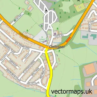
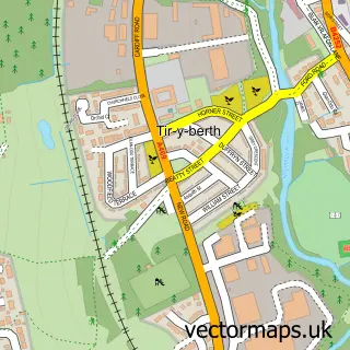
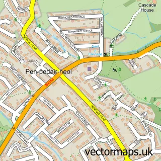
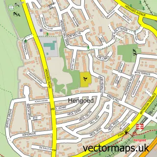
Nearby street map samples around Cefn Hengoed

More street maps in Gwent
750 metre map area coverage
Boundary, postcode and point of interest information for the 750m x 750m rectangle centred on this sample map.
Boundaries containing map centre
Constituency: Caerphilly Co Const
District: Caerffili - Caerphilly
Icb: Aneurin Bevan University
Parish: Gelligaer Community
Police Force: gwent
Postcode District: CF82
Postcode Sector: CF82 7
Nearby boundaries intersecting sample
Postcode Sector: CF82 6, CF82 8
Postcode coverage
POI category counts
Automotive Repair: 2
Convenience Store: 2
Electrician: 2
Shipping Center: 2
Social Service Organizations: 2
Accommodation: 1
Beauty And Spa: 1
Chiropractor: 1
Church Cathedral: 1
Currency Exchange: 1
Sample points of interest
- Cefn Hengoed
- Cefn Hengoed Garage
- Whittles Garage
- Pure Aesthetics Wales
- Twchiropractic
- St Anne's Church, Cefn Hengoed
- Magnum Stores
- Nisa Local
- Post Office Travel Money
- Dennis Dog Days
- Muller Electrics and General Maintenance
- Zener Electrical Services LTD
Create a larger editable map of Cefn Hengoed
This sample shows only a 750 metre area. To create a larger map of Cefn Hengoed, use our map builder to choose your own coverage area, add titles and download editable SVG, PDF and PNG files.
Create a custom map of Cefn Hengoed