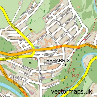
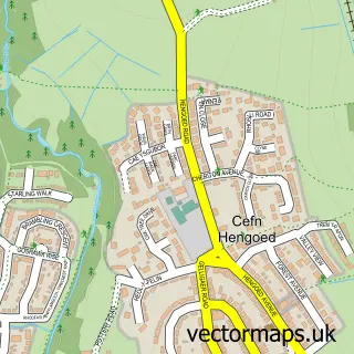
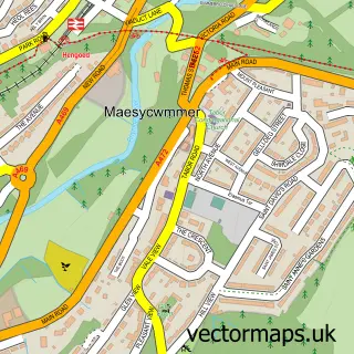
This Nelson street map is a detailed vector street map covering a 750m x 750m area. Select a larger area to create and download your own vector street map of Nelson.
The 750-metre map sample for Nelson covers 430 mapped buildings and approximately 15.1 km of road detail, of which 29 named roads are named. The immediate area includes 1 school, 4 pubs and 1 MOT station, with 5 within 2 miles. The wider area around Nelson features 1 tourism point of interest and 6 food and drink venues. To create a larger or custom map of Nelson, the map builder lets you define your own coverage area and download editable SVG, PDF and PNG files.
Create a larger editable map of Nelson
Choose any area you need and generate a high-quality vector map instantly. Perfect for print, planning, design, business and personal use.

This Nelson street map in Gwent is available as downloadable SVG, PDF and PNG map files, or as a printed map for planning, business, display, education, local information and design work. You can also create a larger custom map area using the map selector.
What this Nelson map sample shows
Nelson lies within Nelson Community parish, part of Nelson ward in the Caerffili - Caerphilly local authority area. The postcode geography for this area includes the CF postcode area, the CF46 postcode district and the CF46 6 postcode sector. Residents fall under the Aneurin Bevan University Health Board for NHS services.
Local features near Nelson
Within 2 milesAmenities and services in and around Nelson.
Administrative and postcode information for Nelson
The local authority covering Nelson is Caerffili - Caerphilly, within the county of Gwent. The settlement lies within Nelson ward and Nelson Community civil parish. The CF46 postcode district and CF46 6 postcode sector serve the immediate area. NHS provision in the area is delivered through Aneurin Bevan University Health Board.
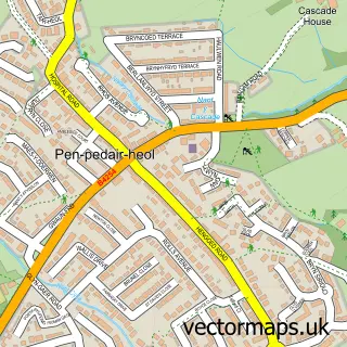
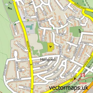
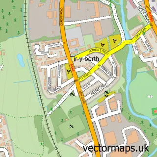
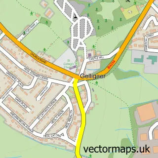
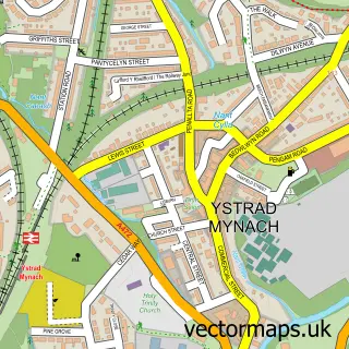
Nearby street map samples around Nelson

More street maps in Gwent
750 metre map area coverage
Boundary, postcode and point of interest information for the 750m x 750m rectangle centred on this sample map.
Boundaries containing map centre
Constituency: Caerphilly Co Const
District: Caerffili - Caerphilly
Icb: Aneurin Bevan University
Parish: Nelson Community
Police Force: gwent
Postcode District: CF46
Postcode Sector: CF46 6
Nearby boundaries intersecting sample
Parish: Gelligaer Community
Postcode coverage
POI category counts
Beauty Salon: 6
Pub: 4
Church Cathedral: 3
Automotive Repair: 2
Car Dealer: 2
Clothing Store: 2
Convenience Store: 2
Dentist: 2
Electrician: 2
Elementary School: 2
Sample points of interest
- LimeWire Signs
- Saint John the Baptist Church
- Lucky Dragon
- The Cooperative Food Nelson (ERF), Nelson
- MW Guiding Services
- Mobile Motors Body Repairs
- Mobilemotors
- The Sunflower Cakery
- Balfour / Jacabbs
- Pauls Barbers
- Chloe’s Brows and Lashes
- Hair Beauty and Cosmetic Training providers
Create a larger editable map of Nelson
This sample shows only a 750 metre area. To create a larger map of Nelson, use our map builder to choose your own coverage area, add titles and download editable SVG, PDF and PNG files.
Create a custom map of Nelson