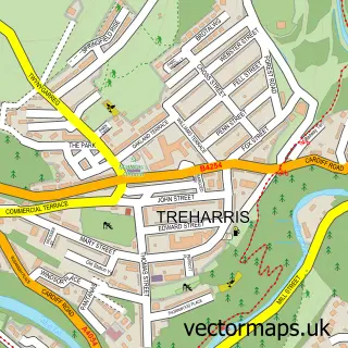
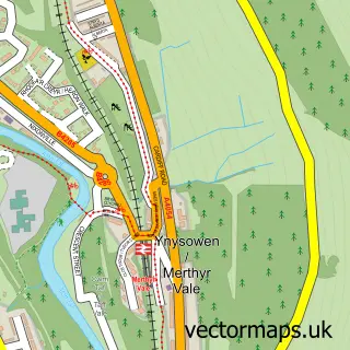
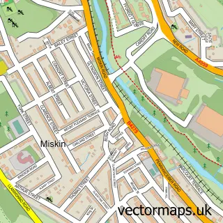
This Edwardsville street map is a detailed vector street map covering a 750m x 750m area. Select a larger area to create and download your own vector street map of Edwardsville.
The 750-metre map sample for Edwardsville covers 230 mapped buildings and approximately 12.4 km of road detail, of which 14 named roads are named. The immediate area includes 1 school, 1 railway station, 1 GP surgery within 2 miles and 1 pub among other local services. The wider area around Edwardsville features 1 food and drink venue. To create a larger or custom map of Edwardsville, the map builder lets you define your own coverage area and download editable SVG, PDF and PNG files.
Create a larger editable map of Edwardsville
Choose any area you need and generate a high-quality vector map instantly. Perfect for print, planning, design, business and personal use.

This Edwardsville street map in Mid Glamorgan is available as downloadable SVG, PDF and PNG map files, or as a printed map for planning, business, display, education, local information and design work. You can also create a larger custom map area using the map selector.
What this Edwardsville map sample shows
Edwardsville lies within Treharris Community parish, part of Treharris ward in the Merthyr Tudful - Merthyr Tydfil local authority area. The postcode geography for this area includes the CF postcode area, the CF46 postcode district and the CF46 5 postcode sector. Residents fall under the Cwm Taf University Health Board for NHS services.
Local features near Edwardsville
Within 2 milesAmenities and services in and around Edwardsville.
Administrative and postcode information for Edwardsville
The local authority covering Edwardsville is Merthyr Tudful - Merthyr Tydfil, within the county of Mid Glamorgan. The settlement lies within Treharris ward and Treharris Community civil parish. The CF46 postcode district and CF46 5 postcode sector serve the immediate area. NHS provision in the area is delivered through Cwm Taf Morgannwg University Health Board.
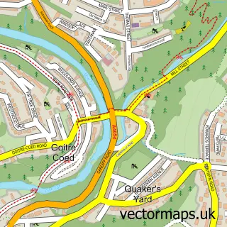
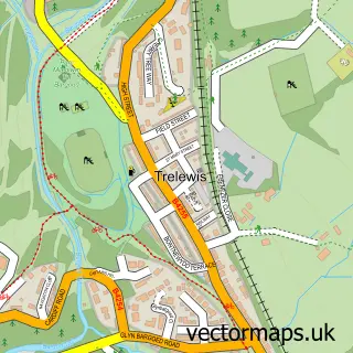
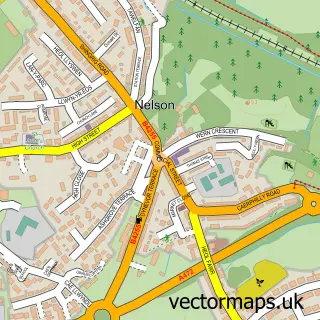
Nearby street map samples around Edwardsville

More street maps in Mid Glamorgan
750 metre map area coverage
Boundary, postcode and point of interest information for the 750m x 750m rectangle centred on this sample map.
Boundaries containing map centre
Constituency: Merthyr Tydfil and Aberdare Co Const
District: Merthyr Tudful - Merthyr Tydfil
Icb: Cwm Taf University
Parish: Treharris Community
Police Force: south wales
Postcode District: CF46
Postcode Sector: CF46 5
Nearby boundaries intersecting sample
No additional intersecting boundaries found.
Postcode coverage
POI category counts
Convenience Store: 3
Construction Services: 1
Elementary School: 1
Food Delivery Service: 1
Funeral Services And Cemeteries: 1
Musical Instrument Store: 1
Pub: 1
Train Station: 1
Web Designer: 1
Sample points of interest
- Skyline Build Home Improvements
- CERTAS - TREHARRIS
- Premier
- Premier VSN Convenience Store
- Edwardsville Primary School
- Evri ParcelShop
- Beechgrove Cemetery
- Kits and Bits
- Great Western Hotel Edwardsville Public House
- Quakers Yard railway station
- Celtic Web Solutions LTD
Create a larger editable map of Edwardsville
This sample shows only a 750 metre area. To create a larger map of Edwardsville, use our map builder to choose your own coverage area, add titles and download editable SVG, PDF and PNG files.
Create a custom map of Edwardsville