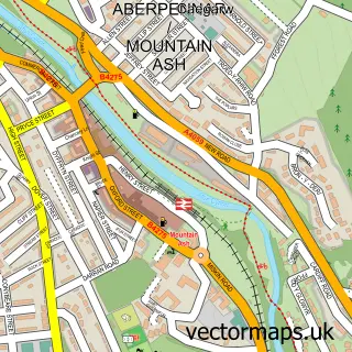
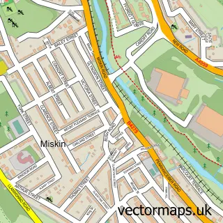
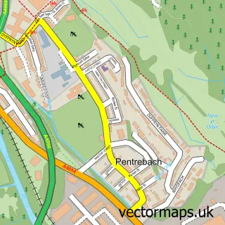
This Aberfan street map is a detailed vector street map covering a 750m x 750m area. Select a larger area to create and download your own vector street map of Aberfan.
The 750-metre map sample for Aberfan covers 267 mapped buildings and approximately 50.1 km of road detail, of which 17 named roads are named. The immediate area includes 1 school, 1 GP surgery, with 3 within 2 miles, 1 pub and 1 MOT station, with 5 within 2 miles. The wider area around Aberfan features 1 tourism point of interest and 1 food and drink venue. To create a larger or custom map of Aberfan, the map builder lets you define your own coverage area and download editable SVG, PDF and PNG files.
Create a larger editable map of Aberfan
Choose any area you need and generate a high-quality vector map instantly. Perfect for print, planning, design, business and personal use.

This Aberfan street map in Mid Glamorgan is available as downloadable SVG, PDF and PNG map files, or as a printed map for planning, business, display, education, local information and design work. You can also create a larger custom map area using the map selector.
What this Aberfan map sample shows
Aberfan lies within Merthyr Vale Community parish, part of Merthyr Vale ward in the Merthyr Tudful - Merthyr Tydfil local authority area. The postcode geography for this area includes the CF postcode area, the CF48 postcode district and the CF48 4 postcode sector. Residents fall under the Cwm Taf University Health Board for NHS services.
Local features near Aberfan
Within 2 milesAmenities and services in and around Aberfan.
Administrative and postcode information for Aberfan
The local authority covering Aberfan is Merthyr Tudful - Merthyr Tydfil, within the county of Mid Glamorgan. The settlement lies within Merthyr Vale ward and Merthyr Vale Community civil parish. The CF48 postcode district and CF48 4 postcode sector serve the immediate area. NHS provision in the area is delivered through Cwm Taf Morgannwg University Health Board.
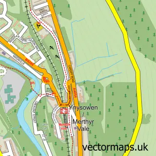
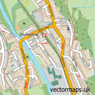
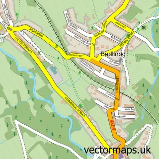
Nearby street map samples around Aberfan

More street maps in Mid Glamorgan
750 metre map area coverage
Boundary, postcode and point of interest information for the 750m x 750m rectangle centred on this sample map.
Boundaries containing map centre
Constituency: Merthyr Tydfil and Aberdare Co Const
District: Merthyr Tudful - Merthyr Tydfil
Icb: Cwm Taf University
Parish: Merthyr Vale Community
Police Force: south wales
Postcode District: CF48
Postcode Sector: CF48 4
Nearby boundaries intersecting sample
No additional intersecting boundaries found.
Postcode coverage
POI category counts
Charity Organization: 3
Convenience Store: 3
Home Service: 3
Church Cathedral: 2
Post Office: 2
Roofing: 2
Arts And Entertainment: 1
Banks: 1
Barber: 1
Bike Repair Maintenance: 1
Sample points of interest
- Partyrocksbounce
- Barclays Bank
- The Cutting Club Barbers
- The Bike Workshop Merthyr
- Roman Catholic Parish of Merthyr Tydfil
- St John Ambulance Cymru
- Taff Rocks
- Ynysowen Youth & Community Project
- Bethania Chapel
- St Mary & The Holy Innocents
- Smyrna, Aberfan
- Family Shopper
Create a larger editable map of Aberfan
This sample shows only a 750 metre area. To create a larger map of Aberfan, use our map builder to choose your own coverage area, add titles and download editable SVG, PDF and PNG files.
Create a custom map of Aberfan