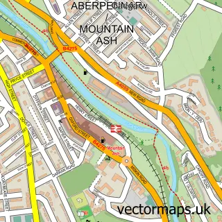
This Troed-y-rhiw street map is a detailed vector street map covering a 750m x 750m area. Select a larger area to create and download your own vector street map of Troed-y-rhiw.
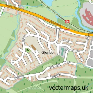
The 750-metre map sample for Troed-y-rhiw covers 335 mapped buildings and approximately 41.1 km of road detail, of which 27 named roads are named. The immediate area includes 2 schools, 1 railway station, 2 GP surgeries within 2 miles and 2 pubs among other local services. The wider area around Troed-y-rhiw features 1 tourism point of interest, 4 food and drink venues and 2 hotels. To create a larger or custom map of Troed-y-rhiw, the map builder lets you define your own coverage area and download editable SVG, PDF and PNG files.
Create a larger editable map of Troed-y-rhiw
Choose any area you need and generate a high-quality vector map instantly. Perfect for print, planning, design, business and personal use.

This Troed-y-rhiw street map in Mid Glamorgan is available as downloadable SVG, PDF and PNG map files, or as a printed map for planning, business, display, education, local information and design work. You can also create a larger custom map area using the map selector.
What this Troed-y-rhiw map sample shows
Troed-y-rhiw lies within Troed-Y-Rhiw Community parish, part of Plymouth ward in the Merthyr Tudful - Merthyr Tydfil local authority area. The postcode geography for this area includes the CF postcode area, the CF48 postcode district and the CF48 4 postcode sector. Residents fall under the Cwm Taf University Health Board for NHS services.
Local features near Troed-y-rhiw
Within 2 milesAmenities and services in and around Troed-y-rhiw.
Administrative and postcode information for Troed-y-rhiw
Troed-y-rhiw lies within Troed-Y-Rhiw Community parish, part of Plymouth ward in the Merthyr Tudful - Merthyr Tydfil local authority area. The postcode geography for this area includes the CF postcode area, the CF48 postcode district and the CF48 4 postcode sector. Residents fall under the Cwm Taf University Health Board for NHS services.
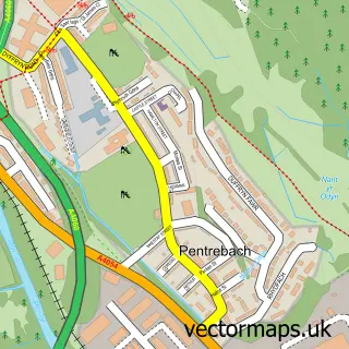
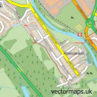
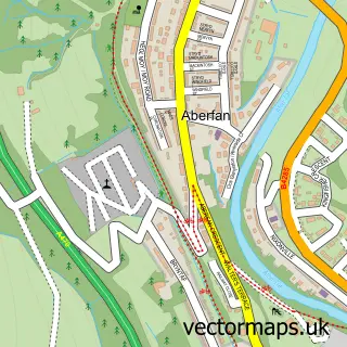
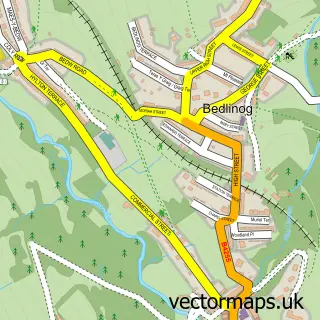
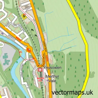
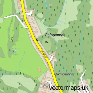
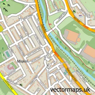
Nearby street map samples around Troed-y-rhiw

More street maps in Mid Glamorgan
750 metre map area coverage
Boundary, postcode and point of interest information for the 750m x 750m rectangle centred on this sample map.
Boundaries containing map centre
Constituency: Merthyr Tydfil and Aberdare Co Const
District: Merthyr Tudful - Merthyr Tydfil
Icb: Cwm Taf University
Parish: Troed-y-rhiw Community
Police Force: south wales
Postcode District: CF48
Postcode Sector: CF48 4
Nearby boundaries intersecting sample
No additional intersecting boundaries found.
Postcode coverage
POI category counts
Convenience Store: 4
Food Delivery Service: 3
Arts And Crafts: 2
Atms: 2
Bakery: 2
Bar: 2
Caterer: 2
Doner Kebab: 2
Hotel: 2
Post Office: 2
Sample points of interest
- Twin Lotus Holistic Health Centre
- Erica's Ceramics - Pottery Workshop
- Fragrant Treats 4ll
- Pak-Ho
- Costcutter (Protected), Merthyr Road
- Costcutters
- The Square Bakery Troedyrhiw
- Welsh Cakes of the Valley
- Belle Vue Hotel
- The Shark Shack
- GINOS barber
- Beauty You
Create a larger editable map of Troed-y-rhiw
This sample shows only a 750 metre area. To create a larger map of Troed-y-rhiw, use our map builder to choose your own coverage area, add titles and download editable SVG, PDF and PNG files.
Create a custom map of Troed-y-rhiw